|
[Home] [Camper Add-Ons] [Campsite Map] [Magazine Interviews] [Photo Albums] [Sporadic Blog] [My Music] [Contact Me]
|
- Sign my guest book and leave comments
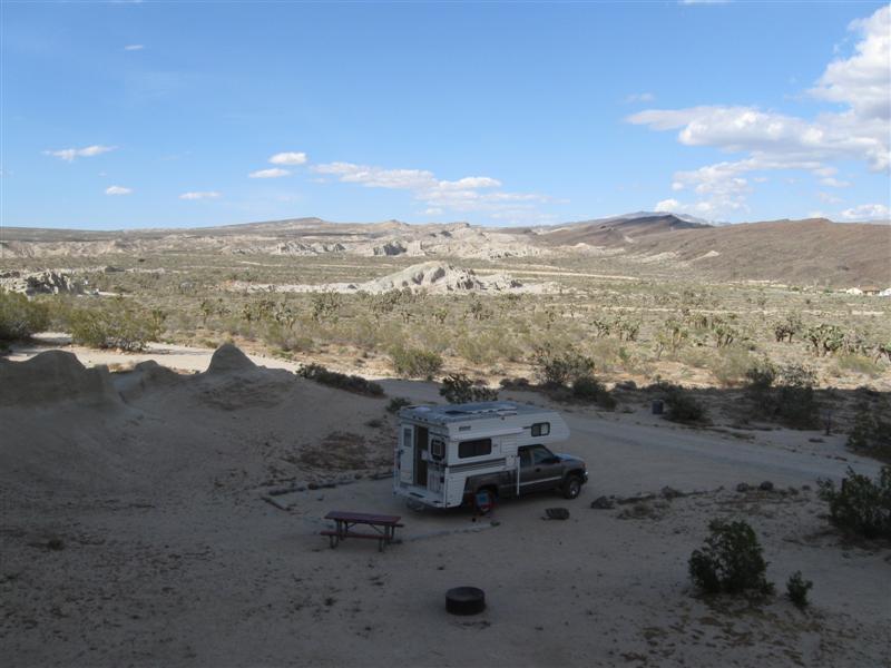
- One of my photos was a winner in the Truck Camper Magazine 2011 Calendar Photo Contest! See it here.
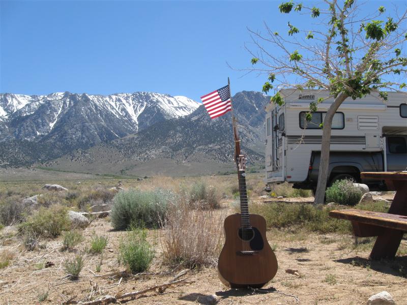
![]()

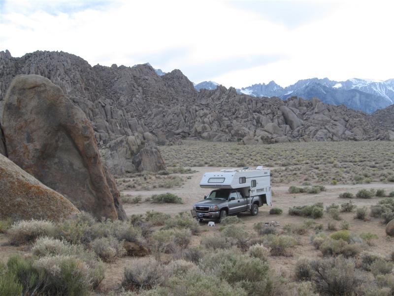
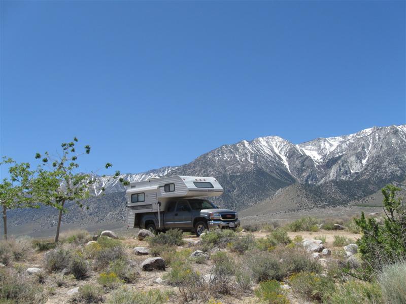
2006
GMC 2500HD w/2001 Lance 845 Previous years' travels: 2006
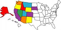
2007 2008 2009 States
Visited Map (plus BC and AB in Canada)
See current
year travels
I bought my truck and camper in late October of 2005. After taking a few short trips in it, I "hit the road" full-time May 2006 for 6 months. Did it again for 6 months in 2007, 2008 and 2009. Now it's 2010 and I'm doing it again! Not all of my nights are spent camping, but most are. I'm not making entries that are repeats of previous campgrounds for this year or when I stay with my kids or friends. Campsite fees are for one night with no discount (and no hookups). However, being the old geezer that I am, I get 50% off at U.S. Guvmint CGs with the valuable Golden Age card, plus free entry to National Parks.. One of the few ways (in addition to retirement) it pays to get older.
Note: Click on small photos for a larger one. Click on
the USA map/flag (![]() )
to see the actual camp location (green arrow) on a map (+/- 50 ft).
)
to see the actual camp location (green arrow) on a map (+/- 50 ft).
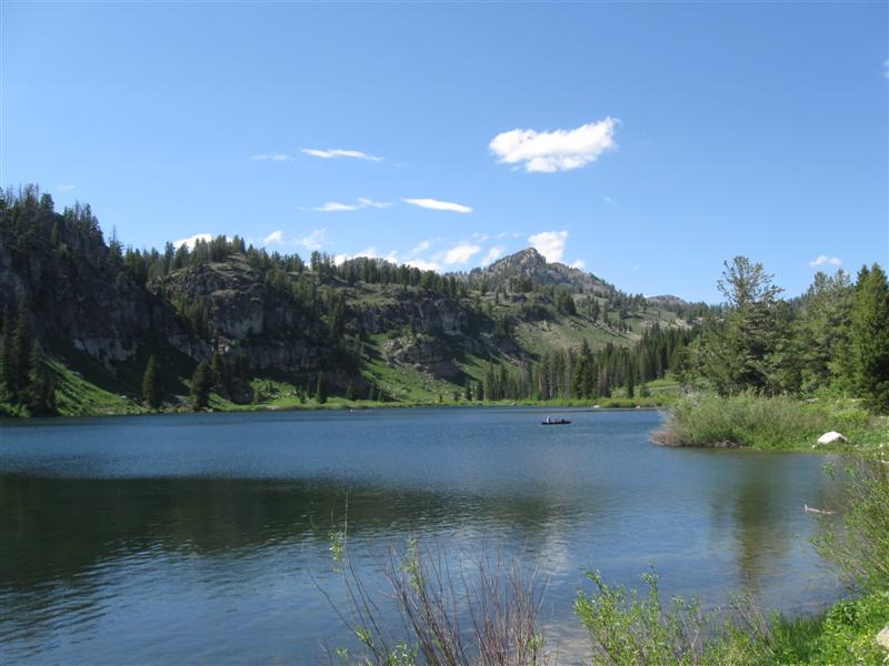
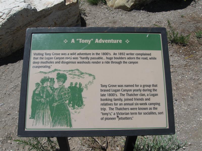
|
Ref # |
Date |
Location |
Campsite & Other Photos (click links) |
Comments |
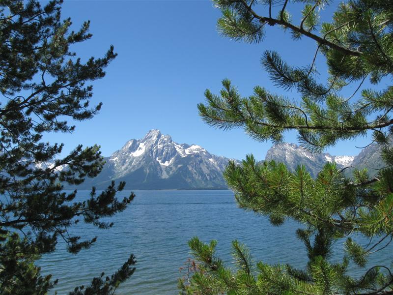
|
|
11/3/10 |
My ramblin' for 2010 is over! I've returned to my winter residence on the Central Coast of California. The last month was spent visiting my kids and friends in CA, so no camping in campgrounds. This year's stats:
Thanks for traveling along with me. Next
year maybe we'll go to ALASKA! |
|
|
|
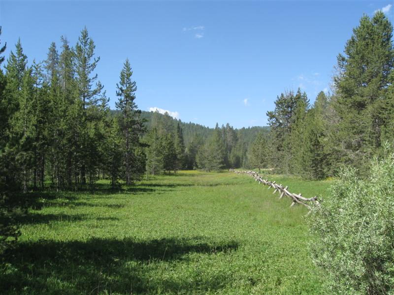
66 |
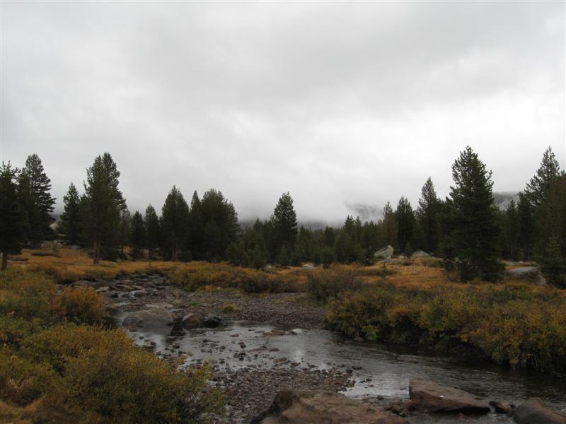
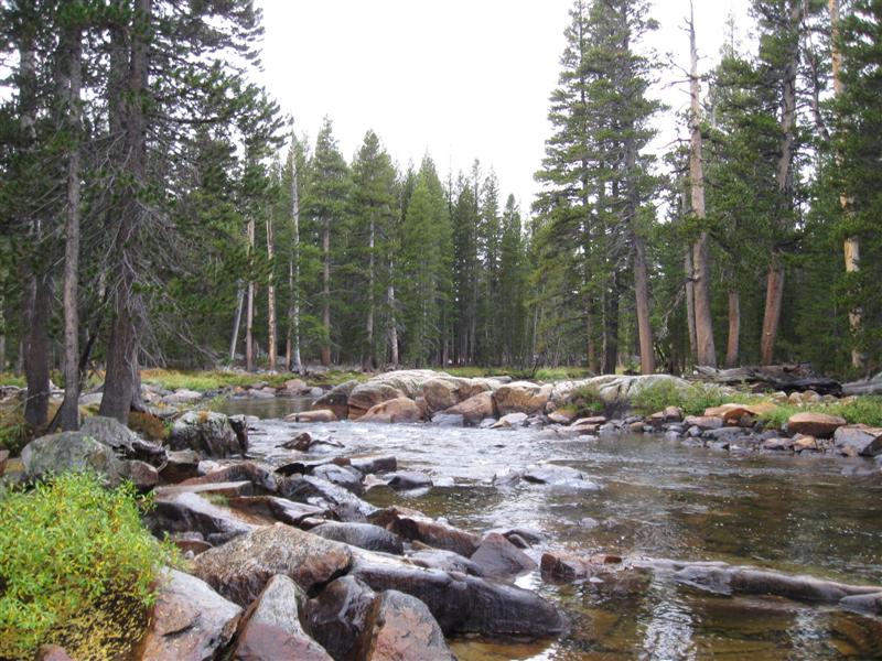
10/3/10 |
Dimond O CG (USFS). Just before the NW entrance
to Yosemite National Park on CA120 take paved Evergreen
Rd N for 6 miles. 4300 ft. |
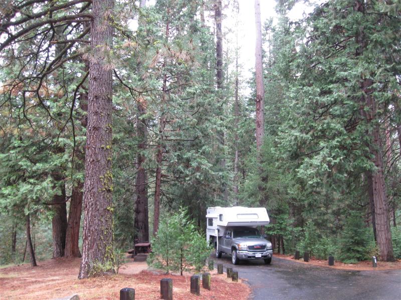
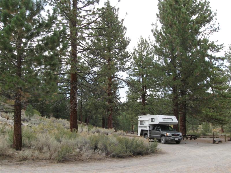
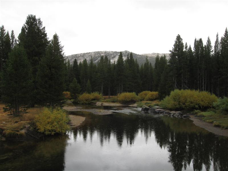
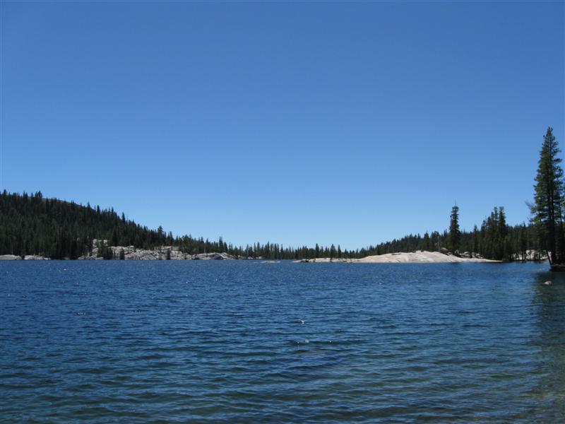
Very nice CG with 38 paved sites in a beautiful setting of tall trees of various types. Small stream nearby. Very handy to Yosemite NW entrance. Was here 5 years ago (my first year of ramblin'). $21. At night it rained like the dickens. I heard the next morning that Tioga Pass in Yosemite (@ 10K ft) got closed from the storm. I just made it in time! |
|
|
65 |
10/2/10 |
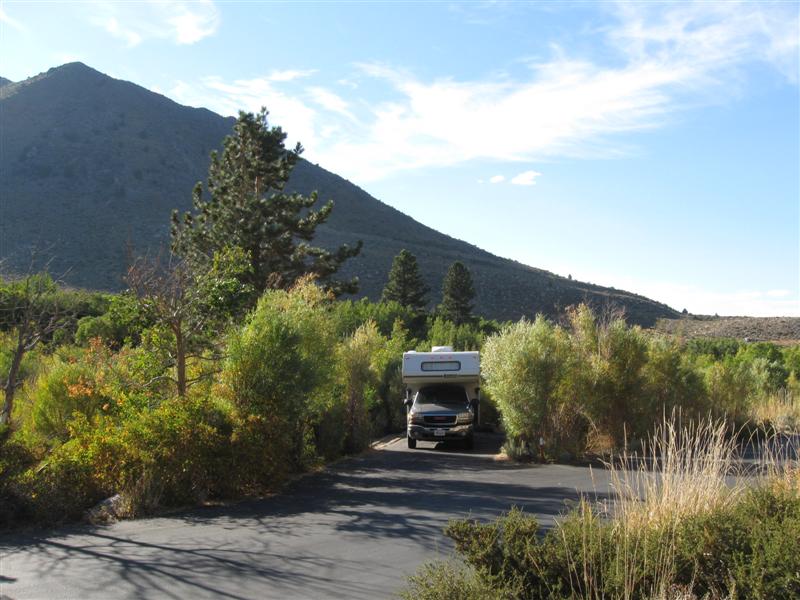
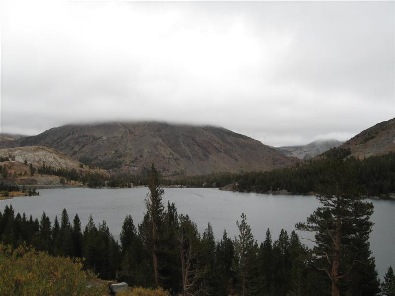
Lower Lee Vining CG (USFS). 3 mi SW of US395/CA
120 jct near Lee Vining, CA on Tioga Pass Rd. 7800
ft. |
|
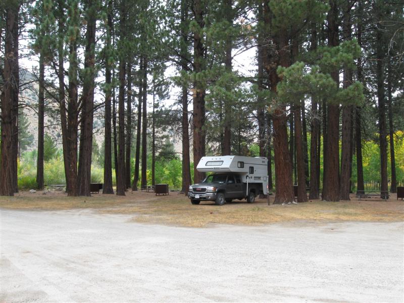
54 dirt sites close together on level land. Most sites in tall pines. Only about 9 miles from Yosemite east entrance (but a steep climb to 10K ft.). $14. |
|
64 |
9/30/10- |
Big Springs CG (USFS). 45 mi NW of Bishop,
CA on US395 then 2 mi NE on Owens River Rd. 7300
ft. |
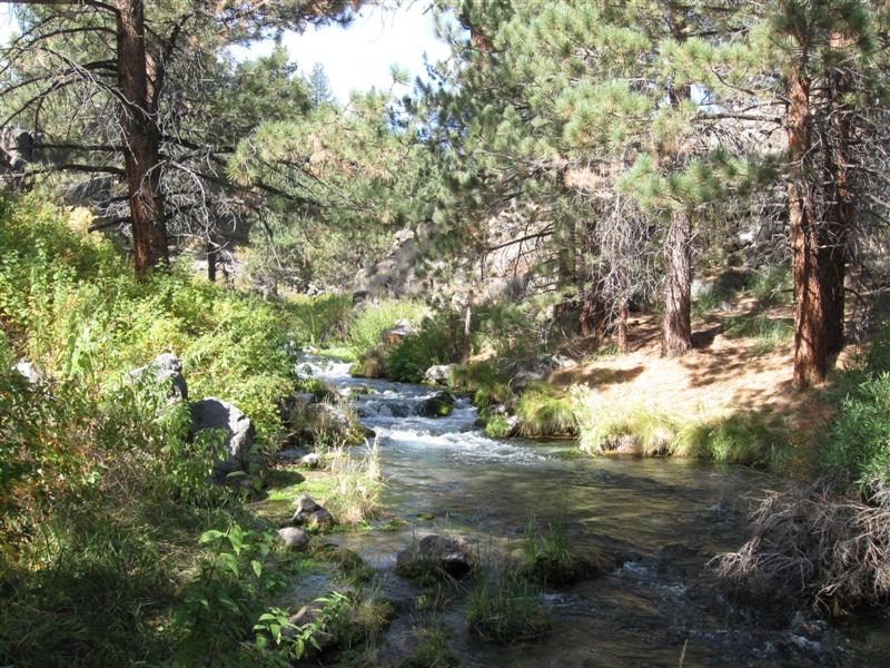
26 large dirt sites on level land. Primitive CG (no water/trash and pit toliets). Part time shade in sites from tall pines. Spring fed head waters of the Owens River alongside in a small canyon. Sites about 1/2 full. Nicer than some CGs I've seen in the area that charge $20. Here it is only (hold your breath) .......$0! |
|
|
63 |
9/29/10 |
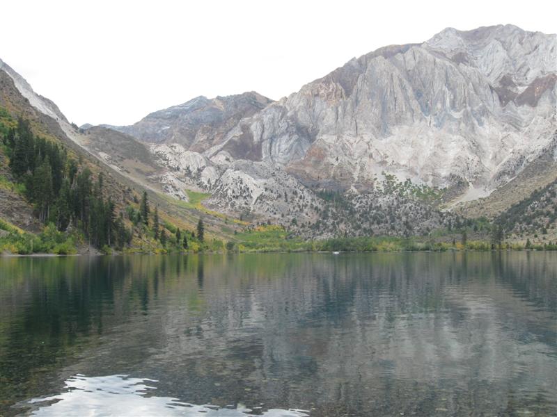
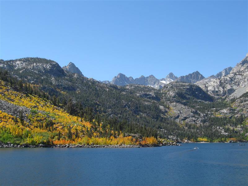
Convict Lake CG (USFS). 34 mi NW of Bishop,
CA on US395 then 2 mi SW on Convict Lake Rd. 7600
ft. |
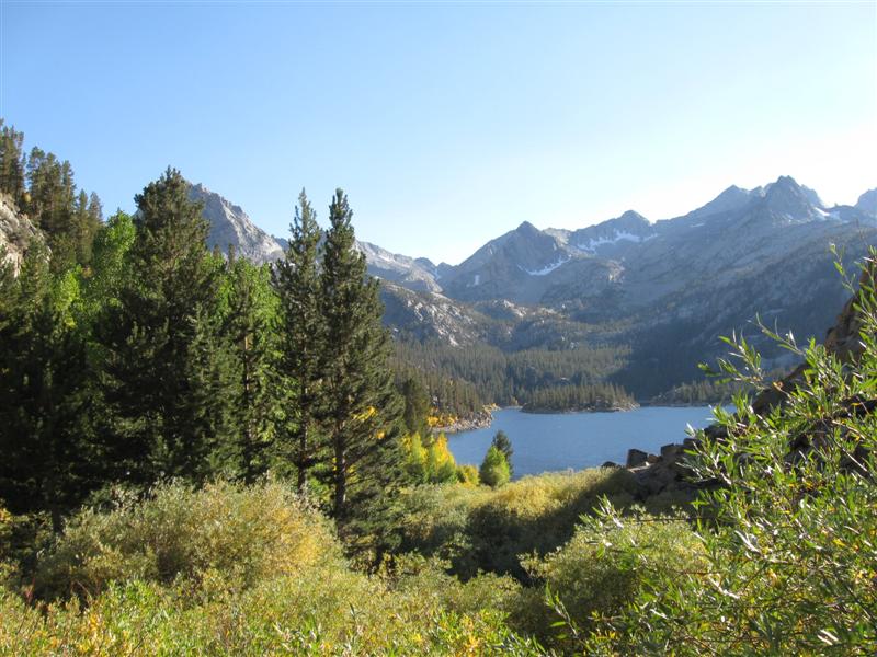
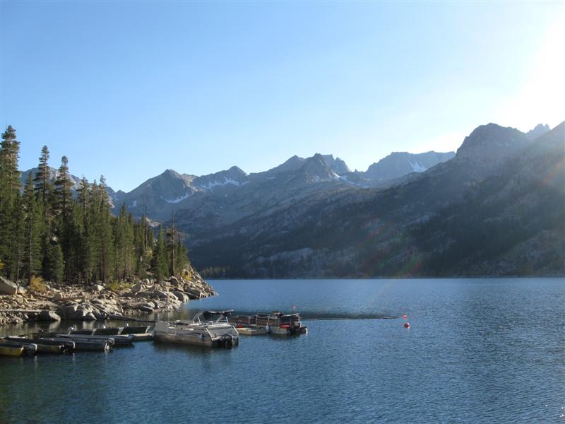
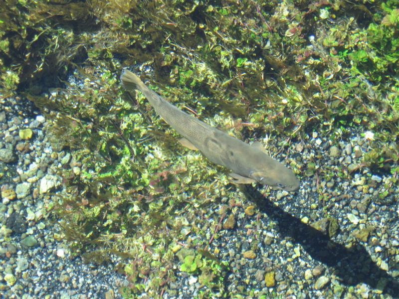
85 paved sites on sloping land. Small Convict Creek alongside. Beautiful Convict Lake, surrounded by tall peaks, at CG entrance. Many sites full sun. Creekside sites have more shade. Strictly by chance, ended up in same site as 3 years ago! Caught 3 trout in 45 minutes before I left. $20. |
|
|
62 |
9/28/10 |
Big Meadow CG (USFS). 23+ mi NW of Bishop,
CA on US395 then 4.5 mi SW on Rock Creek Rd. 8600
ft. |
|
11 dirt sites on level land. Many nestled in the pines near small Rock Creek. Rock climbers like the steep face beyond the creek. Creek side channel no more than 20 ft from my back door adds to "all nature" backdoor view. Flush toilets. Not many others here. One of the most pleasant sites I've had this year! $20. |
|
61 |
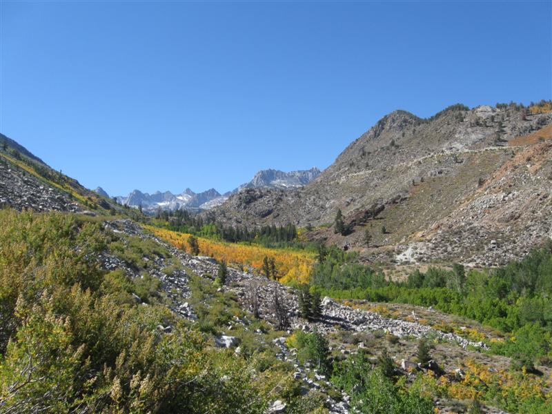
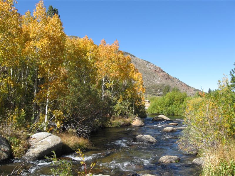
9/27/10 |
Four Jeffery CG (USFS). 14 mi SW of Bishop,
CA on CA168 (aka W Line St) then 1 mi S on South Lake
Rd. 8100 ft. |
106 dirt sites on slightly sloping land. Most sites out in the open with no shade. Some along a stand of aspens for afternoon shade. Small Bishop Creek (S Fork) near these sites. Flush toilets. Dump station ($7). $21. |
|
|
60 |
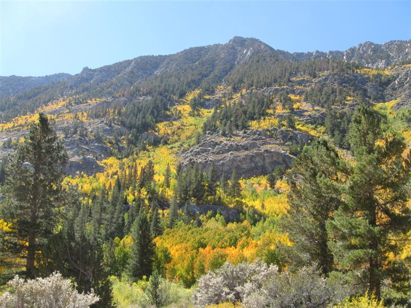
9/26/10 |
Bishop Park CG (USFS). 15 mi SW of Bishop,
CA on West Line St (aka CA168). 8400 ft. |
|
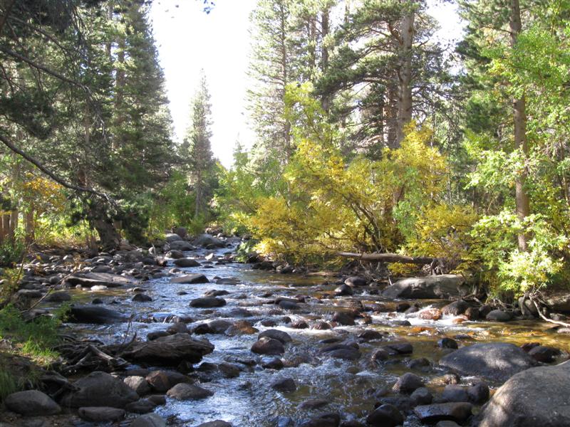
21 dirt sites (all but about 8 tent only) on the fast flowing Bishop Creek (N Fork). RV sites have little shade, tent sites the most. Almost all sites are by the creek, so you can listen to nice "music" while here. Flush toliets. $21. Back in my favorite part of CA; the Eastern Sierras. I've been coming here fishing for 40 years. |
|
59 |
9/25/10 |
Grandview CG (USFS). 13 mi NE of Big Pine,
CA on CA168 then 5+ mi N on White Mountain Rd. 8500
ft. My first night back in California in nearly 3 months! |
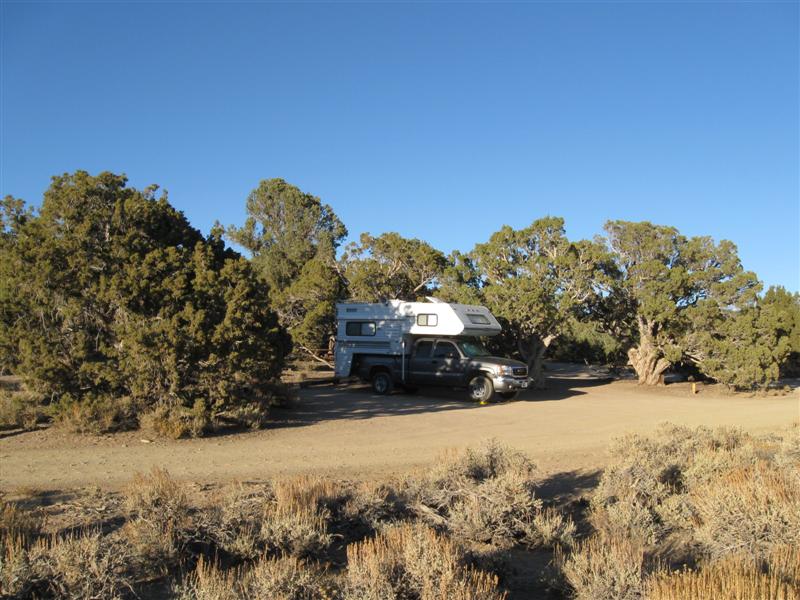
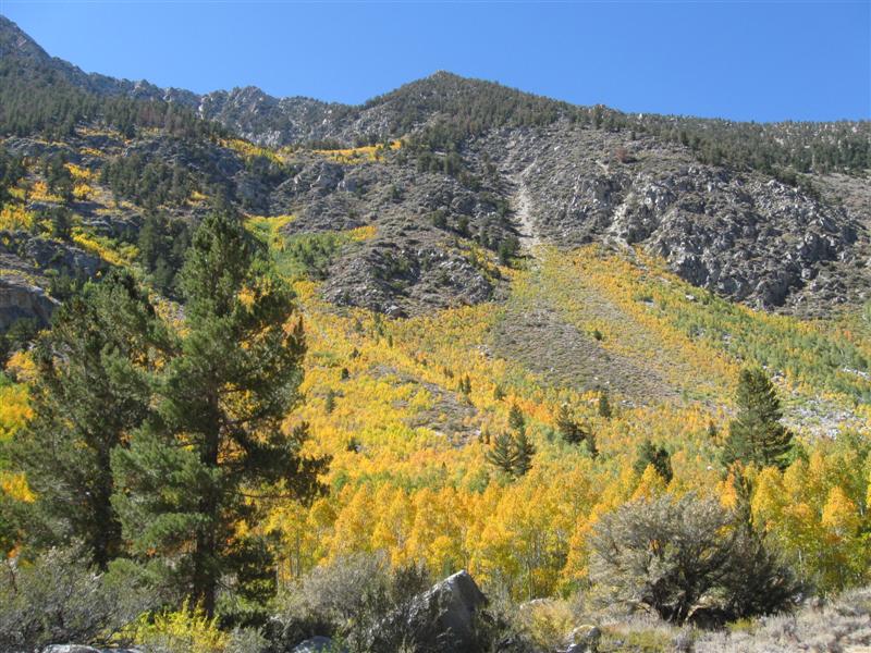
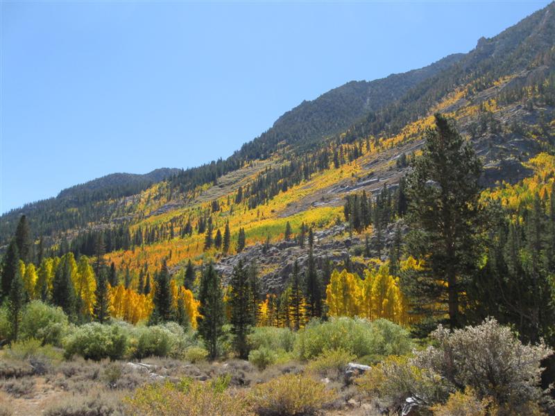
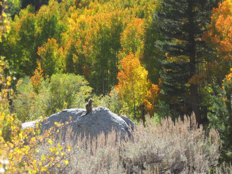
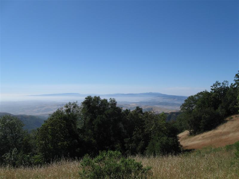
Primitive CG with 26 dirt sites scattered among short trees. Look for picnic tables, as sites not obvious. Vault toliets. Great views E and W with a short walk from CG. Ancient Bristlecone Pine Forest up the road a couple of miles. $5 donation requested. Coming down to Big Pine the next day, I passed a couple of hundred bicycle riders participating in the Everest Challenge. They were going from Big Pine (4K ft) to around 10K ft at the Bristlecone Forest. I got tired just watching them climb the hill! :) |
|
|
58 |
9/24/10 |
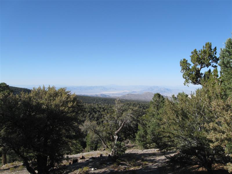
Hilltop CG (USFS). From US95 NW of North Las Vegas,
NV take Kyle Canyon Rd W for 17+ miles, then right on
Deer Canyon Rd for 4.5 mi. 8300 ft. |
An aptly named CG. 35 paved sites on a hilltop. Some with awesome views. Lots of small, scrubby trees and some tall pines. Most sites were reserved, but I lucked out and got one of the 2 or 3 remaining open ones at 1:30 p.m. on a Friday. Unfortunately, it is one close to some obnoxious, frequently barking dogs that the owners must not see the need to silence (oh honey, isn't Rover so cute when he barks). Grrrr. No generator noise, though. :) Way cooler than Lost Wages is (temperature wise). $19. |
|
|
57 |
9/23/10 |
Quail Creek State Park CG. About 7 mi W of
Hurricane, UT on UT9, then 2 mi N on hwy 318. 3000
ft. |
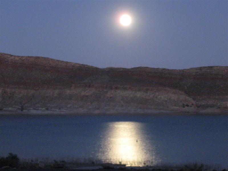
23 paved sites on sloping land in a desert like environment. On the shore of a nice, medium size lake. No natural shade, but covers over picnic tables. Bluffs to W give entire CG shade before sunset. Hwy alongside results in some traffic noise. $15. Enjoyed sitting out in the balmy evening and looking at the lake. Bats were out for a while. Beautiful full moon rising over the mountains, spreading moonglow on the lake. |
|
|
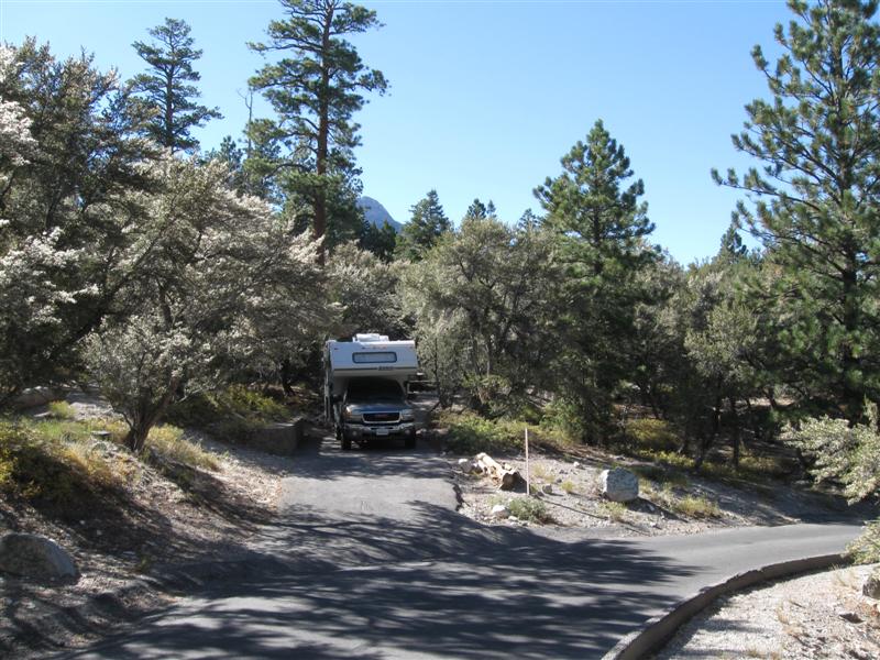
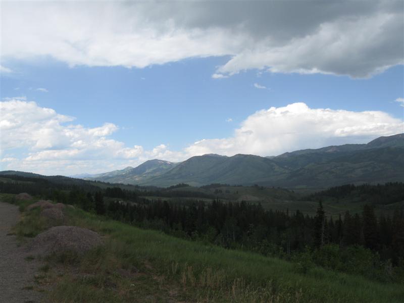
56 |
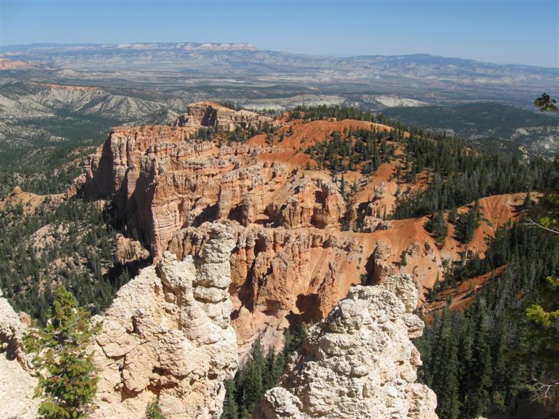
9/21/10- |
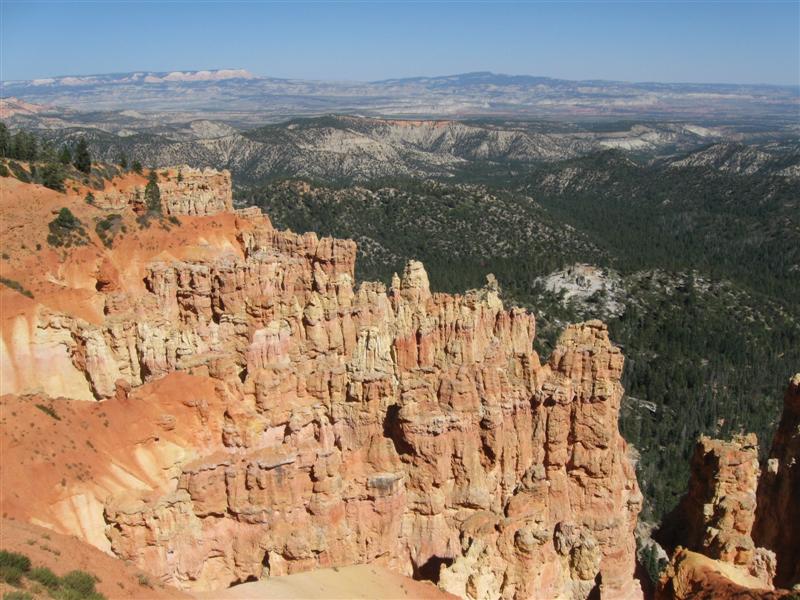
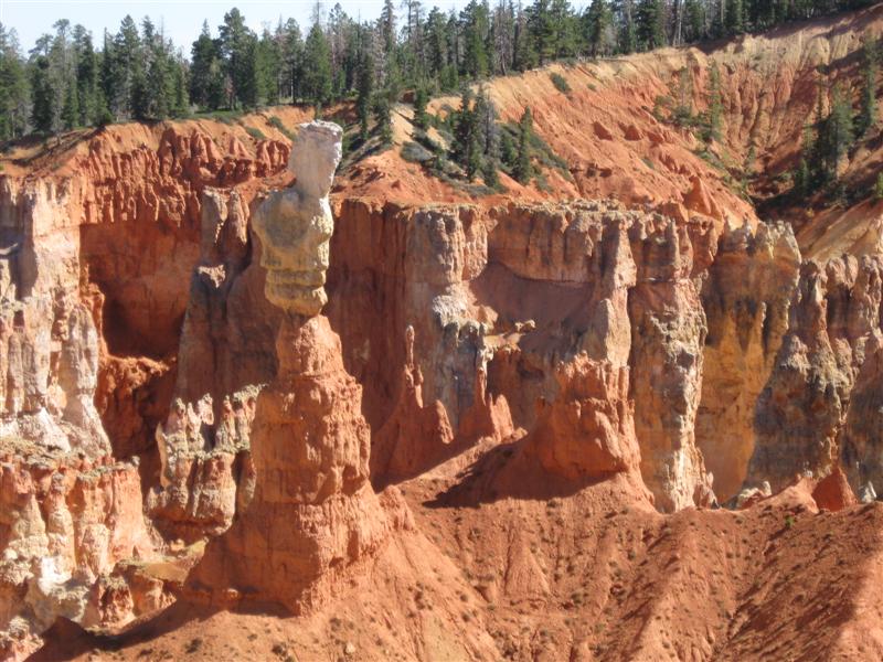
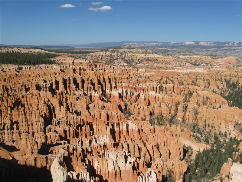
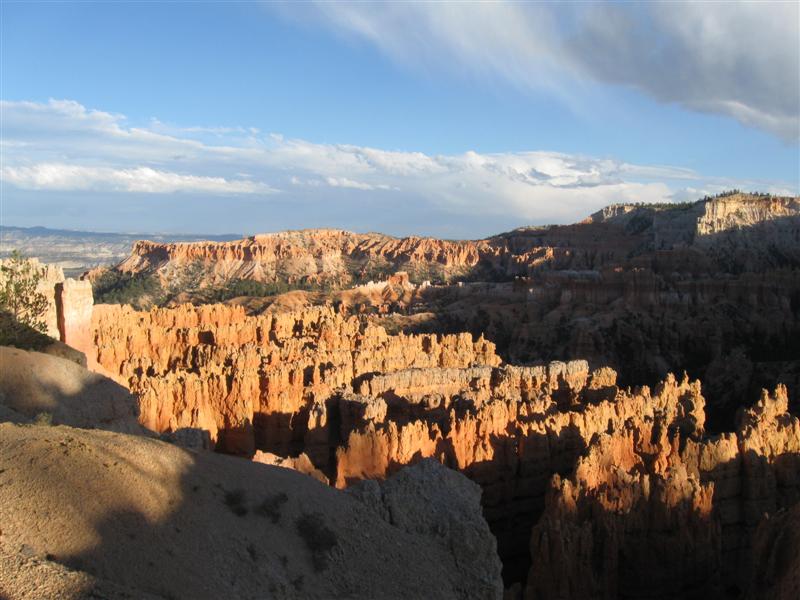
Bryce Canyon National Park Sunset CG. 7.5 mi
NW of Tropic, UT on UT12, then 5+ mi S on UT63. 8000 ft. |
110 dirt/gravel sites in 3 loops on level land. "A" loop (52 sites) is for RVs only (tent trailers OK). Other loops limited to vehicles less than 20 ft. Most sites get some shade during the day, due to tall pines. $15. Wow, spectacular scenery here from up high at 8000 to 9000 ft. Camped next to someone I was next to 2 days ago in Capitol Reef NP. Small world!. |
|
|
55 |
9/19/10- |
Posey Lake CG (USFS). 16 mi N of Escalante,
UT on FR153 and 154. Last 14 mi gravel with moderate
washboarding in places. 8900 ft. (a tie for highest
CG this year). |
|
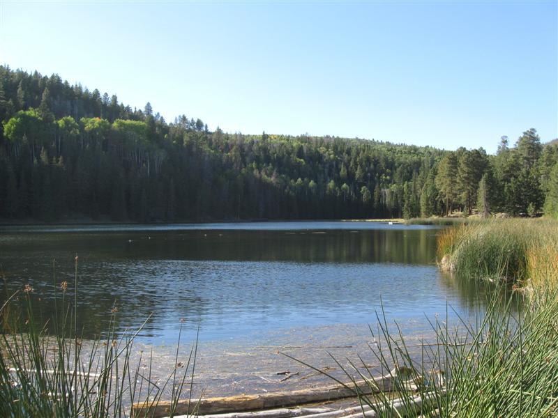
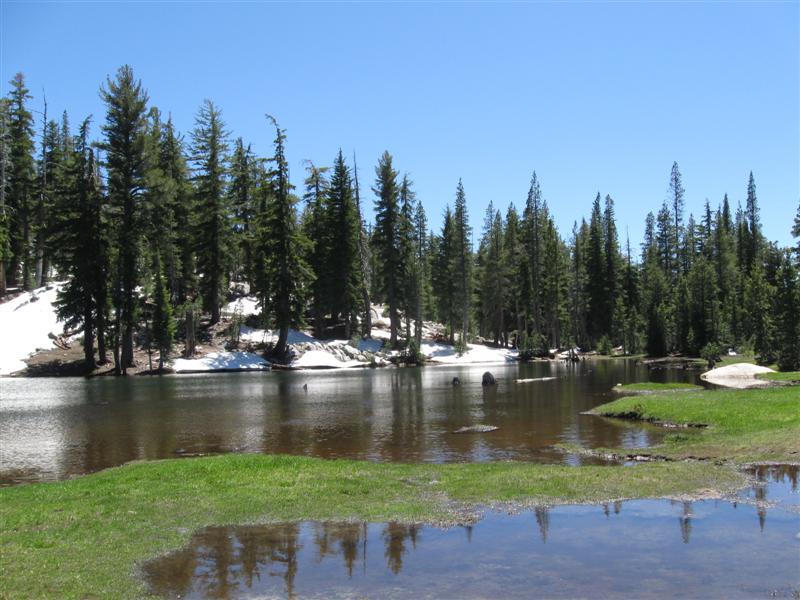
Remote CG with 25 gravel sites on hilly land. Aspens and pines. Small, pretty lake at entrance. Only one other site occupied each nite. Nice and peaceful that way. :). I'm surprised it only got down to 44F at night up this high. $10 ($5 now, since water off). Highest point on very scenic hwy 12 coming here was 9300 ft. Got out at an overlook and the wind must have been close to 35 mph! Almost lost what little hair I have left. :) |
|
54 |
9/17/10- |
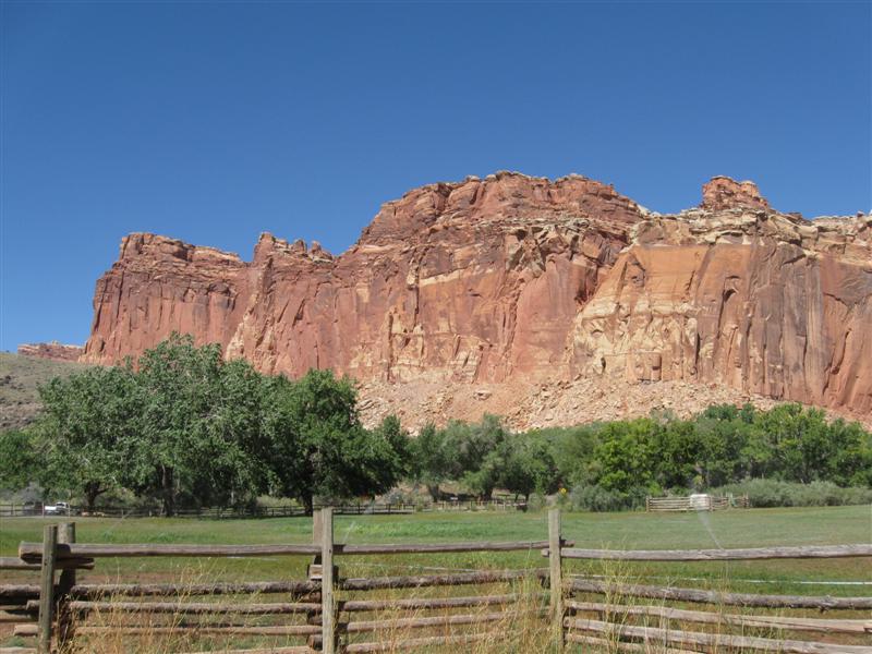
Capitol Reef National Park Fruita CG. 12 mi E of Torrey,
UT on UT24. 5400 ft. |
|
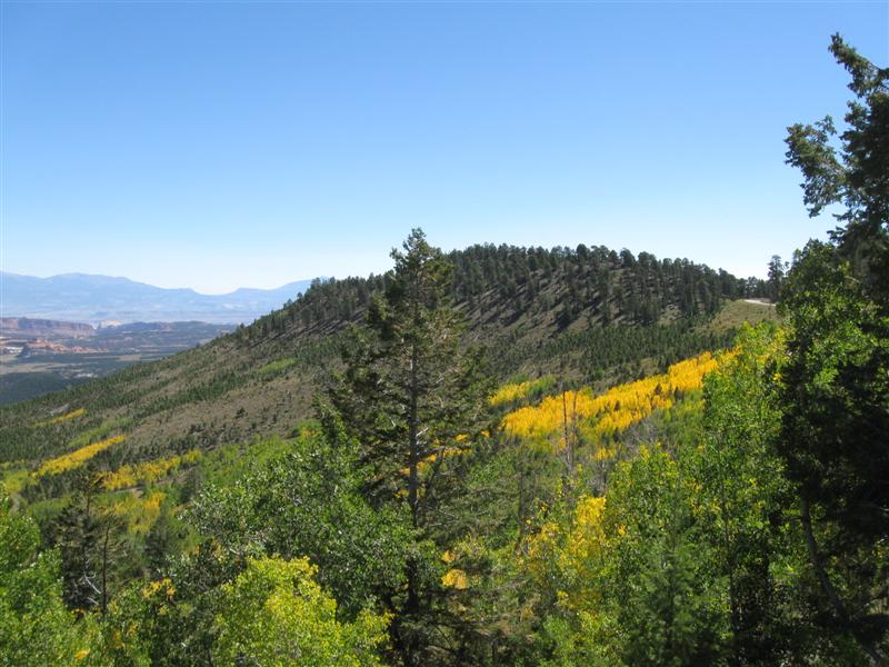
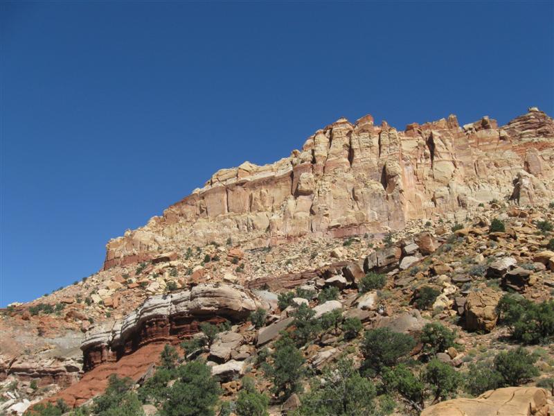
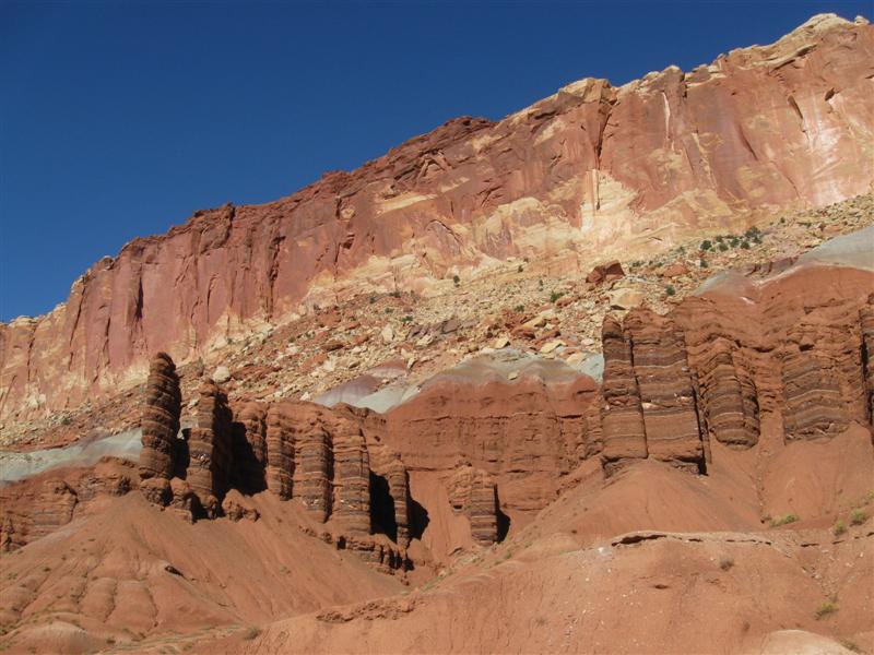
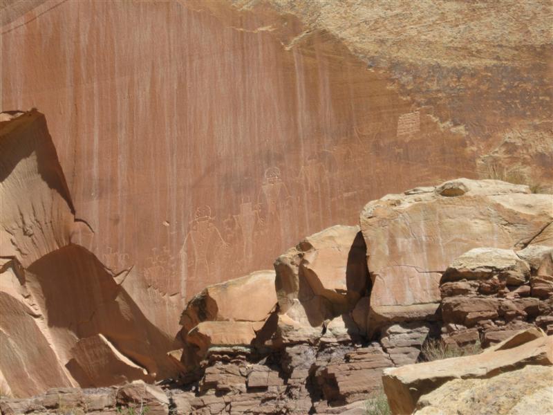
Nice CG with many tall trees for lots of shade. 75 gravel sites in 2 level areas. Sites not packed close together (like some other NP CGs), but still little privacy, since no bushes. Very limited generator hours (2 hrs AM & 2 hrs PM) - YEA! It was very quiet there, for as crowded as it was. I got one of the last of 2 sites when I arrived Friday around noon - whew!. $10 (a deal). The scenery at the park was spectacular (photo album when I get around to it). Also really enjoyed the historic orchards and buildings from an early Morman settlement (Fruita, UT) in the late 1800s. |
|
53 |
9/16/10 |
Mackinaw CG (USFS). About 35 mi S of I70/UT24
jct via UT24 and UT25. 8900 ft. (my highest CG
this year) |
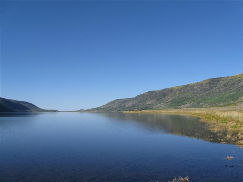
High altitude CG overlooking a big lake.. 68 paved sites in 3 loops. On sloping ground with many small aspen trees. Partial views of lake through trees. Mid-week, late season means not many campers here. Yea! $14. |
|
|
52 |
9/15/10 |
Utah Lake State Park CG. About 2 mi W of I15
on Center St. in Provo, UT area. 4600 ft. |
|
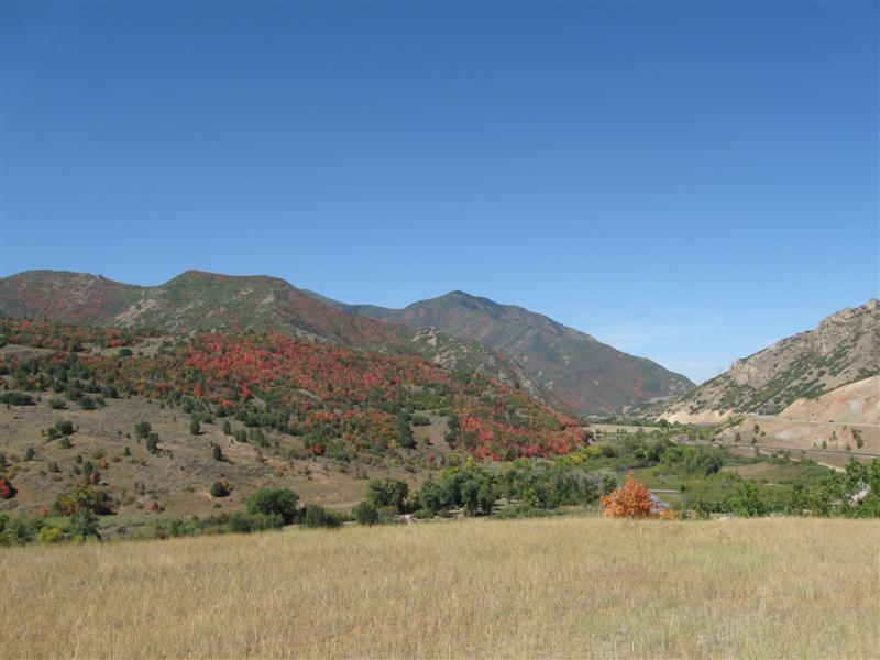
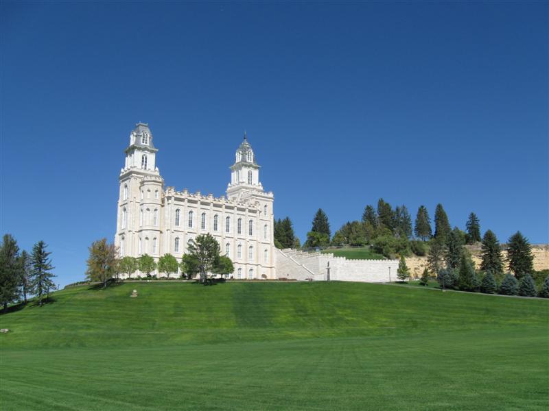
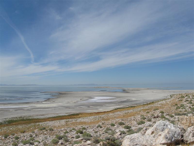
Very nice state park CG. 55 paved sites in 2 loops. Little natural shade, but nice size "gazebos" for each site. No bushes = no privacy. Nearby airport has mostly small plane traffic. $20 (w/water & elec).. Visited the interesting Antelope Island State Park (on the Great Salt Lake) today. |
|
51 |
9/14/10 |
Box Elder CG (USFS). From I15/US89 jct in Brigham
City, UT go E on US89 for 5 mi then take Mantua exit
and follow CG signs for 1 mi. 5200 ft. |
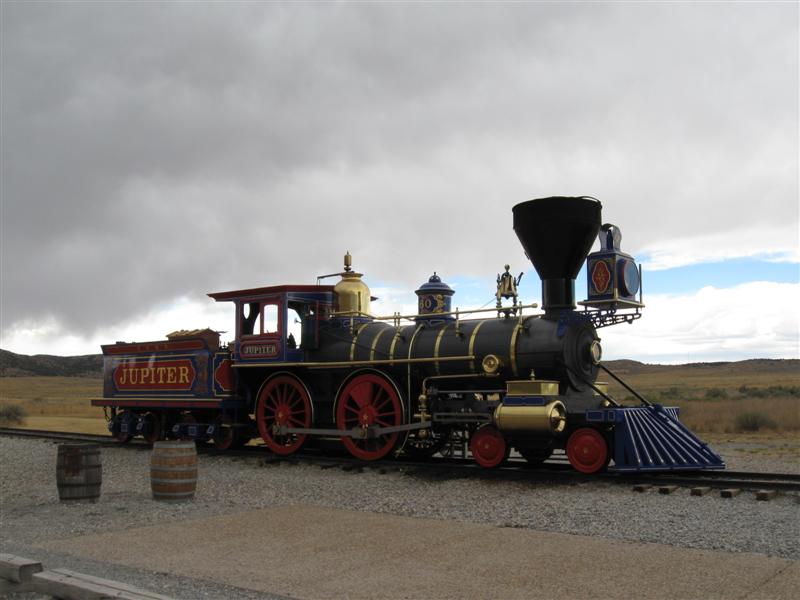
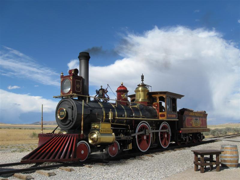
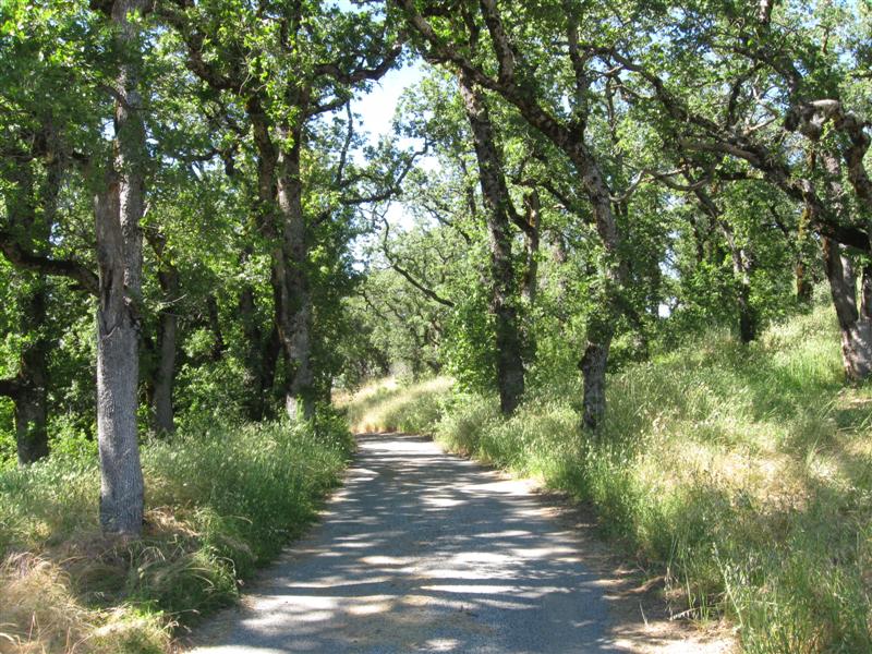
Not the typical USFS CG location. Feels more like a county CG. 1/2 mi from a busy hwy and next to a small town. 25 gravel sites in 2 loops. Lots of broad leafed trees and bushes. Some hwy noise, but not too bad inside the camper. $15. Visited the interesting railroad related Golden Spike National Historical Site today. |
|
|
50 |
9/13/10 |
Malad Summit CG (USFS). 8+ mi N of Malad City,
ID on I15, then take Exit 22 and follow signs N and
W for 6 mi. Last mile is one lane dirt road.
6100 ft. |
Relatively primitive CG with 11 gravel sites, some very short. Lots of shade due to dense trees and bushes. Very narrow road within CG. Not a good place for big rigs. Small creek alongside. $10. |
|
|
49 |
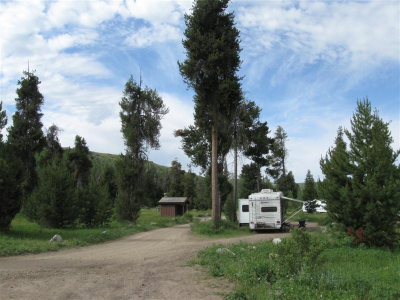
9/12/10 |
Stoddard Creek CG (USFS). 12 mi S of MT/ID
line on I15 then 1 mi W on campground road. 6300
ft. |
|
Very nice CG in a heavily wooded area. About 25 gravel sites, split between 2 levels. I'm on the "hilltop" level. Many sites very long for large rigs. Only one other site occupied. Very handy to I15 with only slight truck noise. $10. |
|
|
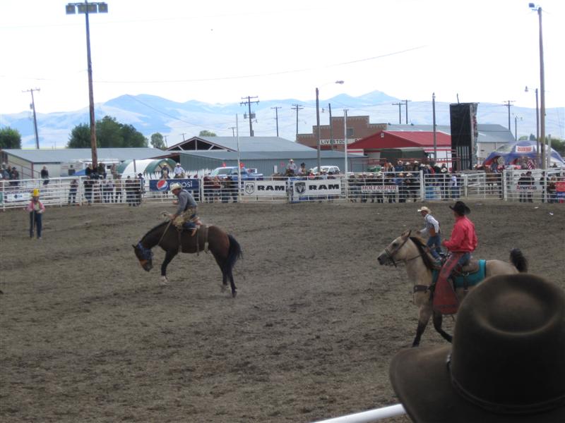
8/29/10- |
At my cousin's in Dillon, MT. |
|
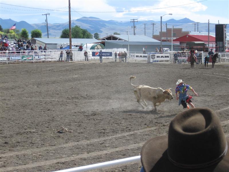
Spent a great 2 weeks at my cousin's in Dillon, MT visiting and fishing. Caught a 20 inch brown trout! Went to the rodeo. Yeehaw! Now I'm back on the road, after getting hundreds of emails from my website followers clamoring for me to do so. OK, OK, I didn't even get one, but I'm doing it anyway. :) |
|
48 |
8/26/10- |
Madison CG (USFS). 34 mi S of Ennis, MT on
US287, then across river and 1+ mi S on dirt road. 6000
ft. |
10 gravel sites, in a line, well apart. Some have very good afternoon shade. Famous-for-fishing Madison River on the other side of the dirt access road, within walking distance. Hwy across river a bit noisy. Cell tower across river gives me a great Net connection! Heavy rain and pea sized hail on Saturday afternoon. My usual luck fishing - little. $12. |
|
|
47 |
8/25/10 |
Wade Lake CG (USFS). 39 mi S of Ennis, MT on
US287 then 6 mi on fairly rough dirt road. Turn
off US287 at "Three Dollar Bridge" sign.
6200 ft. |
24 site CG on a pretty, very clear lake. 5 or 6 sites on (and above) the lake. Very secluded and peaceful (just like I like it). I got the same site I had 3 years ago (almost to the day). $12. On the way here, I visited the very interesting built-by-owner Johnny Sack Cabin (on National Historical Register) in the Island Park, ID area. He was quite a craftsman! |
|
|
46 |
8/23/10- |
Boondocking site (USFS) Not a developed campground. About
1/2 mi S of the Island Park Reservoir Dam in Idaho. 6200
ft. |
Found this site when looking for a fishing spot below Island Park Dam. Ideal, since the two are only 1/4 mile apart. Ironically, it's also very close to the Buffalo River where I was last night. Only my 2nd time boondocking this year. What a wimp! $0. |
|
|
45 |
8/22/10 |
Buffalo CG (USFS). Across US20 from Pond's
Lodge in Island Park, ID. 6200 ft. |
Mega CG with 127 sites in 7 loops. Doesn't seem that big when you're camped in your loop, though. The clear and shallow Buffalo River runs alongside the CG.. Caught 2 teeny brook trout. $12. |
|
|
44 |
8/20/10- |
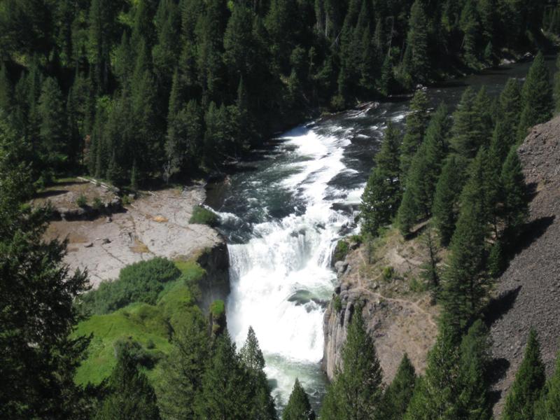
Grandview CG (USFS). 14 mi NE of Ashton, ID
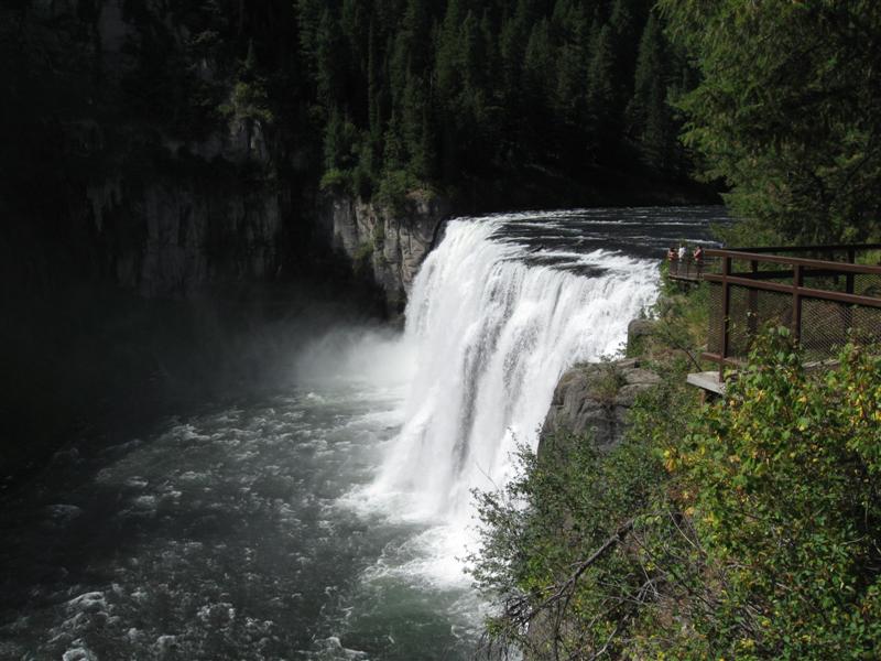
on hwy 47. 6000 ft. |
9 gravel, roomy sites, spaced well apart, adjacent to the impressive Lower Mesa Falls overlook area. Sound from falls just audible (maybe louder to younger ears). Close to hwy, but not much traffic. All I can see from my back door and side window is lots of trees and bushes (that's good). $12. |
|
|
43 |
8/19/10 |
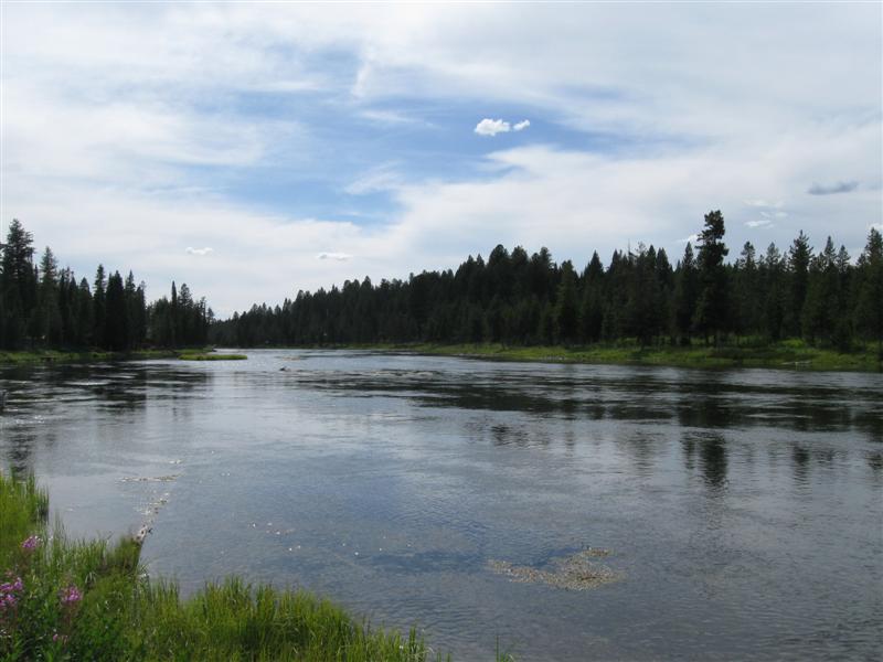
Warm River CG (USFS). 9 mi NE of Ashton, ID
on hwy 47. 5300 ft. |
25 sites (12 tent only) on the very clear and scenic Warm River. Not sure where the name came from, since it's spring fed and cold! Very popular for floating in tubes or rafts by the young uns. Sites very close together, so better hope you get a nice neighbor. More like a KOA than a typical FS CG. Even caught a couple of small trout here. Met a middle aged couple bicycling from Canada to Mexico. Yikes! $12. |
|
|
42 |
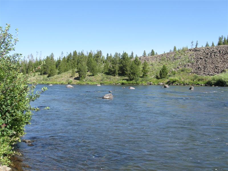
8/16/10- |
Riverside CG (USFS). 15 mi N of Ashton, ID
on US20, then 1+ mi E on Forest Rd. 6100 ft. |
57 sites (some gravel, some paved) in 3 loops. Loop "A" has sites on the Henry's Fork River with limited shade. B & C loops have more shade (C the most). Far enough from hwy so no noise. Caught a whopper 7" trout!! $12. |
|
|
41 |
8/13/10- |
Grand Targhee Bluegrass Festival @ Grand Targhee
Ski Resort. 12 mi NE of Driggs, ID on Ski Hill
Rd. 7800 ft. |
|
3 day festival with a lot of "not bluegrass" music. :) Enjoyed it anyway. Good weather, except for rain Friday night and below freezing 2 nights. Nice folks camped around me, including one providing free coffee each morning. Got a big surprise Monday morning - dead battery in truck. I think the freezing weather took its toll on my nearly 5 year old one. "Coffee guy" gave me a jump and I drove down to Driggs and got a new one. Took the ski lift to the mountain top (9800 ft) before I left. What a view!! |
|
40 |
8/12/10 |
Teton Canyon CG (USFS). 6 mi NE of Driggs,
ID on Ski Hill Rd, then 5 mi E on dirt Teton Canyon
Rd. 7200 ft. |
Very nice small CG in a beautiful canyon setting. 20 sites, a few with 100% shade due to a very thick stand of tall trees. Popular hiking trailhead across the road. Two small creeks nearby. $10. |
|
|
39 |
8/11/10 |
McCrea Bridge CG (USFS). About 2 mi N
of Island Park, ID on US20, then 2 mi W on
Kilgore-Yale Rd. 6200 ft. |
26 gravel sites in 2 loops (one adjacent to the Henry's Fork River). Amount of shade depends on site. "A" loop has some nice river view sites (got one). Moderate hwy noise. Very nicely constructed sites with gravel in all areas (i.e., picnic benches, tent pads, etc.). Plus there are metal stands for BBQs, pots and pans, etc. Talked to people who caught some nice size fish from the boat ramp. $16 |
|
|
38 |
8/10/10 |
Lonesomehurst CG (USFS). 7 mi W of West Yellowstone,
MT on US20, then 3.5 N on Denny Creek Rd (paved, except
for last mile). 6700 ft. |
27 gravel sites, rather close together. Sparse trees, but they were planting more when I was there. Spectacular view of Hebgen Lake (especially from my site). One of the best campsite views for me this year! $16. |
|
|
37 |
8/9/10 |
Swan Creek CG (USFS). 32 mi SW of Bozeman,
MT on US191 then 1 mile E on Swan Creek Rd (paved, but
narrow one lane). 6000 ft. |
13 gravel sites in 2 loops (but 0.5 mile apart). Small Swan Creek alongside. A couple of other nearby USFS CGs are on the pretty Gallatin River. However, also by a very busy hwy. Better here, IMHO. $14. |
|
|
36 |
8/8/10 |
Battle Ridge CG (USFS). 21 mi NE of Bozeman,
MT on hwy 86. 6400 ft. |
13dirt sites in tall trees. Some sites not
level. Old style outhouses. Hwy close by
has truck noise, but quiet at night. Another freebie!
$0. |
|
|
35 |
8/5/10- |
Jumping Creek CG (USFS). 22 mi N of White Sulphur
Springs, MT on US89. 5900 ft. |
10 gravel sites in tall spruce trees on level land. Many sites have plenty of shade. Easy to hear truck traffic on hwy, but little at night. Nice medium size Sheep Creek flows through CG. I verified that the creek has some small brook trout. $10. |
|
|
34 |
8/3/10- |
Smith River State Park (MT), Camp Baker Site. 16 mi NW of White Sulphur Springs, MT on hwy 360,
then 8.5 mi N on Smith River Rd (good gravel), then,
at sign, 1.5 mi W. 4400 ft. |
Not a typical state park. Just 8 grass sites and vault toilets. It's here because this is the launch point for floating the very popular Smith River. So popular you need to win a lottery and pay $25/person ($50 non-resident)! Finally caught a few fish, including two nice (12" or so) brown trout. Yipee! The price is right @ $0. |
|
|
33 |
8/2/10 |
Grasshopper Creek CG (USFS). 7 mi E on White
Sulphur Springs, MT on US12 then 4 mi S on FR 211. 5800
ft. |
11 gravel sites, well apart, in a dense stand of spruce trees Plenty of shade. Small creek in CG. Rough road within CG. $10. |
|
|
32 |
8/1/10 |
Spring Creek CG (USFS). About 26 mi E of White
Suphur Springs, MT on US12 then 4 mi N on Forest Road
274 (one lane with turnouts and last part dirt). 5300
ft. |
Nice small secluded CG in plenty of trees. 10 wide, gravel sites well apart. Small gurgling creek alongside (not big enough to fish, unfortunately). I'm the only one here. $7. |
|
|
31 |
7/31/10 |
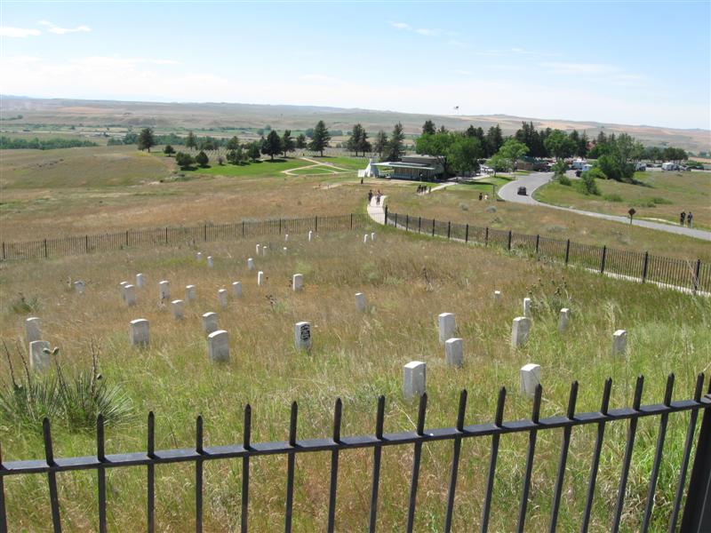
Cowbelle CG in Roundup, MT. From Main St. go
about 1 mile E on 2nd St (@ "Fairgrounds"
sign). Right at the "Y". 3200
ft. |
|
Nice county park with plenty of shade from tall trees. No real designated camping sites, but several picnic tables scattered around (maybe 10 or so). Nice and quiet. $0 (donation requested, but I couldn't find a locked box). Toured the interesting Custer Battlefield before I came here. |
|
30 |
7/27/10- |
Cliff Swallow Montana Fishing Access Site. 10
mi W of Absarokee, MT on hwy 420. 4300 ft. |
About 6 dirt sites right on the scenic Stillwater
River. Easy access to the river. Some sites about
10 feet above the river and 20 feet away. No shade.
Vault toilet. A freebie @ $0! |
|
|
29 |
7/26/10 |
Parkside CG (USFS). 12 mi SW of Red Lodge, MT
on US212, then 0.5 mi on paved road. 7200 ft. |
26 paved sites in 2 loops among various types of trees. Fast flowing Rock Creek goes through CG. Very nice CG in a scenic area. $14. |
|
|
28 |
7/25/10 |
Rattin CG (USFS). About 8 mi SW of Red Lodge,
MT on US212, then exit E on dirt road at large National
Forest "welcome" sign. Dirt road goes
back NE for a mile or so to CG. Note: Don't
follow GPS directions (mine was wrong). 6300 ft. |
Very small, 7 site CG in firs/spruces and broad leafed trees. Alongside Rock Creek. Hwy just past the creek, so some slight hwy noise. Road within CG leads to area with private houses (somewhat unusual). $14. Red Lodge sure is a busy little town! |
|
|
27 |
7/24/10 |
Cascade CG (USFS). About 12 mi W of Red Lodge,
MT. Go S on US212 for about 1 mile then turn
right on Ski Run Rd and follow signs. Last 3 miles
are good, one lane dirt road, but with plenty of turnouts.
7400 ft. |
Nice CG with 30 dirt/gravel sites, well apart, in 2 loops among the pines and firs. Alongside the pretty and musical Rock Creek (W Fork). Fire from a few years ago has burned trees outside the CG. $10. Had a short jam session with my CG neighbor! Wish it happended more often in my travels. Fun! |
|
|
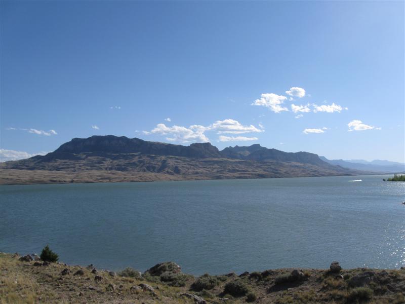
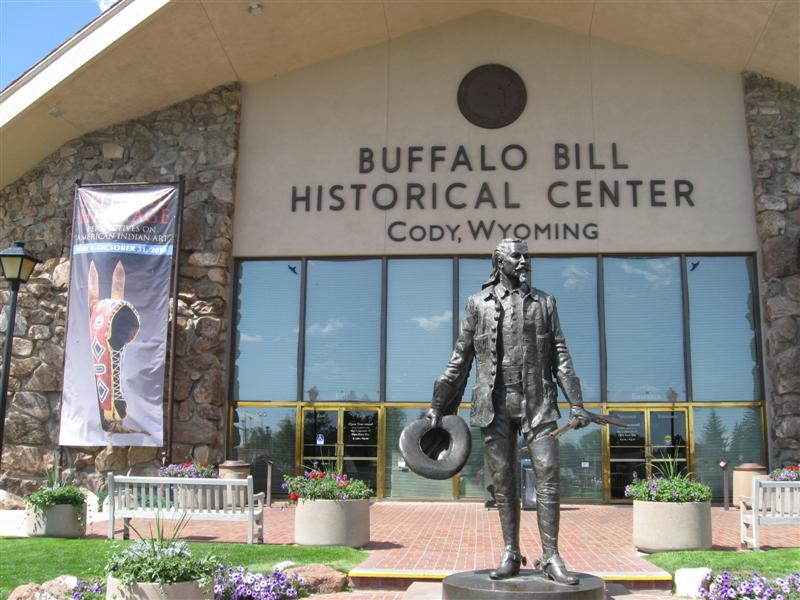
26 |
7/22/10- |
Buffalo Bill State Park North Shore Bay CG, 10 mi
W of Cody, WY on US16. 5400 ft. |
32 paved sites in 3 loops. 8 sites reservation only. On the banks of the Buffalo Bill Reservoir. Plenty of afternoon wind and hwy noise, but little shade. However, handy to town w/o paying RV park prices. $17. Visted the very interesting Buffalo Bill Historical Center in Cody. Lots to see. |
|
|
25 |
7/21/10 |
Threemile CG (USFS). 49 mi W of Cody, WY on US16.
6700 ft. |
22 paved sites on sloping land. Between hwy and very nice N Fork Shoshone River. Plenty of pines and firs. Not all sites have shade. Note: No tents allowed (bear country). $15. |
|
|
24 |
7/20/10 |
Grand Teton NP, Gros Ventre CG. 7 mi N of Jackson,
WY on US89, then 5 mi NE on Gros Ventre Rd. 6600
ft. |
Another mega CG with 360 sites in many loops. However, the gravel sites are well apart in sagebrush and cottonwood trees. Site shade varies widely between plenty and none (that's mine). Gros Ventre River nearby. Tip: Pronounce it "Grow Vant", so they think you're a local. $20. Was thinking about get a fishing license and staying another day. However, big thunderstorm started in late morning, so I'm moving on. |
|
|
23 |
7/19/10 |
Grand Teton NP, Colter Bay CG. 27 mi N of Moose,
WY on US89. 6800 ft. |
Mega CG with 350 sites. "Sardine" style camping in 8 loops with site parking parallel to the road. Tables about 10 to 20 feet into the pines/firs. On Jackson Lake, but you can't see it from the CG. $20. |
|
|
22 |
7/18/10 |
Station Creek CG (USFS). 11 mi NE of Alpine
Junction, WY on US26(89). 5900 ft. |
|
16 gravel sites on slightly sloping land. Between a very busy hwy and the beautiful Snake River (50 ft. down). Sites well apart with good privacy. Lots of tall pine and fir trees. Even with the daytime hwy noise, it's a nice CG. $15 |
|
21 |
7/16/10- |
Summit View (USFS). 10 mi NE of Georgetown,
ID via county road and then Left Hand Georgetown Canyon
Rd for about last 5 miles. 7500 ft. [Note:
Not really any "summit view" from here]. |
22 dirt/gravel sites in 2 loops. Several sites
look like they hardly get used (grass growing in them). Lots
of aspens/firs/pines, low green stuff and wildflowers.
I got here about 5 p.m. Friday afternoon and no
one else in the smaller loop of 8 sites (1 came later). Slight
noise from the nearby dirt road, but super peaceful
at night. Lots of troublesome flies (including
horse flies). I stayed in my camper a lot (but
it was still fun). $10. |
|
|
20 |
7/15/10 |
Porcupine CG (USFS). 8 mi W of St. Charles,
ID on Minnetonka Cave Rd. 6700 ft. |
17 paved sites on sloping land. Scattered aspens/firs/pines.
Most sites very sunny. Small creek alongside.
In a small canyon. Minnetonka Cave 5 mi up the road. $12. |
|
|
19 |
7/14/10 |
Sunrise CG (USFS). 32 mi NE of Logan, UT on
US89. 7800 ft. |
27 paved sites on level land (w/several pull thrus). Many pines/aspens/firs for lots of shade. Good privacy between sites. Some truck noise from hwy. In the top 10% of FS CGs I've stayed at (about 200), for layout, appearance and surroundings. Very helpful CG hostess. $15. |
|
|
18 |
7/13/10 |
Tony Grove Lake CG (USFS). 22 mi NE of Logan,
UT then 7 mi W uphill on excellent paved road. 8100
ft. |
|
39 dirt/gravel sites on hilly land. Very scenic setting in the spruce (fir?) trees with loads of different wildflowers. Nice small lake a short walk from the W side of the CG. Several canoes out. Rough road thru CG. Fairly full CG. $15. |
|
17 |
7/12/10 |
Guinavah-Malibu CG (USFS). 8 mi E of Logan,
UT on US89. 5100 ft. |
40 dirt/gravel sites (11 closed) on level land. Between the hwy and the small, fast flowing Logan River. Most sites very shady from broad leaf trees. In the beautiful Logan Canyon. Not many other campers. $15. |
|
|
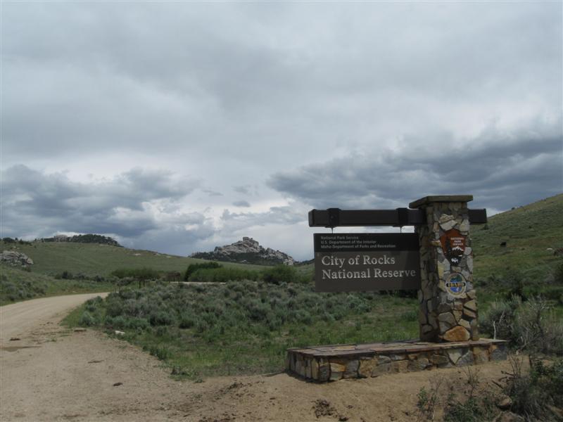
16 |
7/9/10- |
City of Rocks National Reserve. 17 mi SE of
Oakley, ID on dirt roads for west entrance. Some
washboarding. Alternate east entrance from Almo,
ID. 6400 ft. |
|
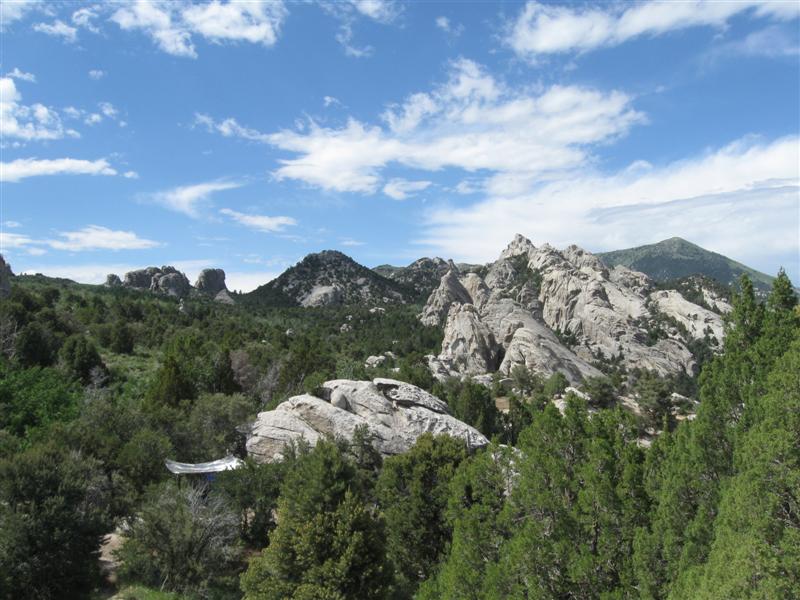
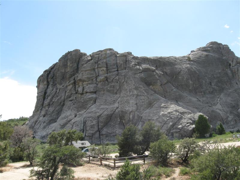
Not really a campground, but 60+ scattered sites (many tent walk-in) among the rocks along a few miles of road. Since most sites were booked for the weekend, I ended up in a parking lot site. Picnic table behind me on the dirt. Very interesting rock formations, some of them gigantic. A very aptly named place. Very popular with climbers. $13. |
|
15 |
7/8/10 |
Bear Gulch CG (USFS). 14 mi E of Rogerson,
ID on dirt roads. Start on 1600 Rd north of
Rogerson and go east towards Magic Mtn Ski area. No
road signs. No CG sign at turnoff, but "Bear
Gulch" road sign. 1 mi to CG from there.
Map suggested first time. 6000 ft. |
12 or so dirt sites on level land. Aspens, pines and bushes around. ATVers seem to like it here. Surprised to see 4 or 5 other campers out here in the boonies on a Thursday. $0 (no water or trash containers). Continued on the dirt road to the ski area the next day and saw some beautiful scenery higher up. |
|
|
14 |
7/6/10- |
Thomas Canyon CG (USFS). Go about 20 mi SE of
Elko, NV on NV227 then 8 mi on FR660. In the Lamoille
Canyon of the Ruby
Mountains. 7500 ft. |
|
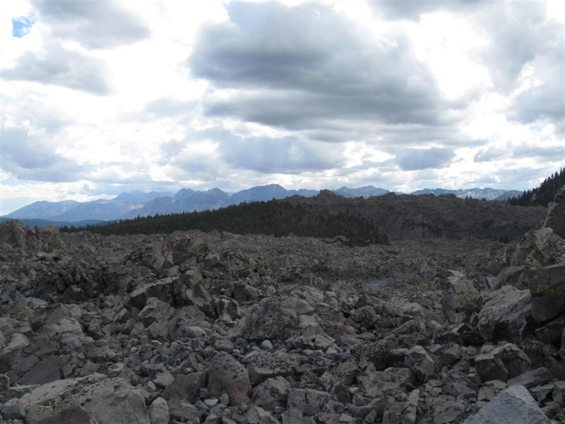
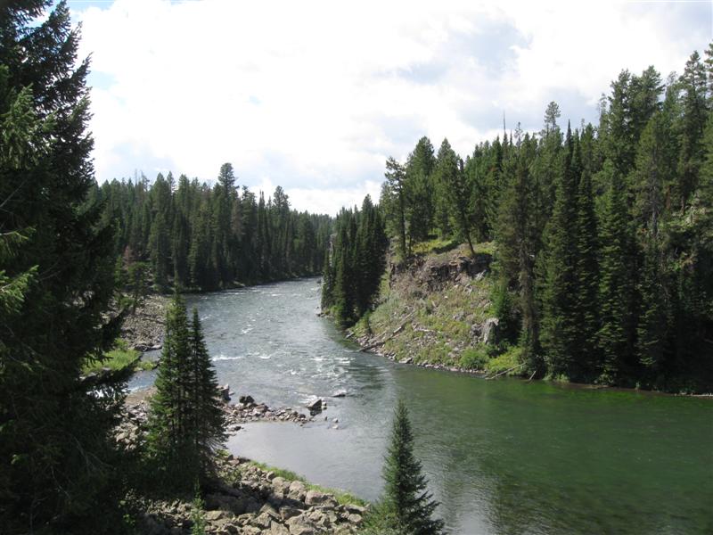
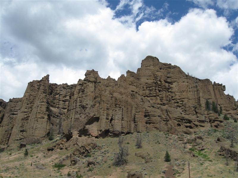
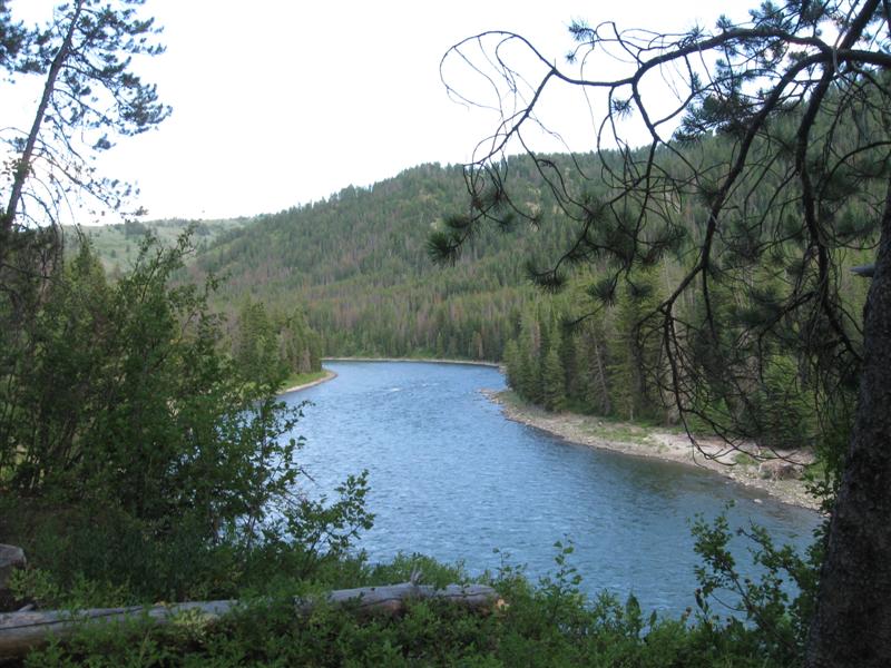
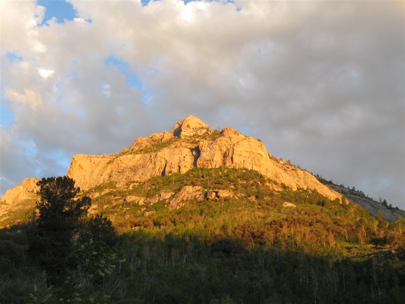
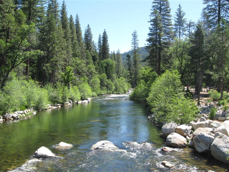
40 paved sites on level land in 3 loops. Lots of aspens and flowering choke cherry bushes Fast flowing creek flows through CG. Good privacy and some shade in most sites. Absolutely spectacular scenery 360 degrees all around. Wow, never knew Nevada had these types of mountains. All the rock reminds me a bit of Yosemite. Lots of hiking trails in the area. Took one of them and shot picture after picture. Great spot! Check it out! $15. |
|
7/5/10 |
|
YIKES, RAMBLIN' RALPH GETS STUCK! READ ABOUT IT HERE |
|
|
|
13 |
7/2/10- |
Wildhorse Crossing CG (USFS). 73 mi NE of Elko, NV
on hwy 225 (10 mi past Wildhorse Reservoir). 5900
ft. |
|
20 gravel sites on level land among scattered aspen groves and small pines. Several sites have no shade. Small Owyhee River alongside. In a beautiful canyon. A few skeeters when breeze stops. Some ATVers cruising the CG, but not obnoxious. Low of 30F at night. Wow, only about 1/2 full on July 4th wknd! I really enjoyed it here! Nice CG host, too. $5. |
|
12 |
7/1/10 |
Bob Scott CG (USFS) 6 mi SE of Austin, NV on hwy 50 ("The
Loneliest Road in America"). 7100 ft. |
Nice little CG! Only downside is that it's close to the hwy. 10 paved sites on sloping land. Many not level, though. Lots of small trees. Was free when I was here in Sep07, but now it's $10. |
|
|
11 |
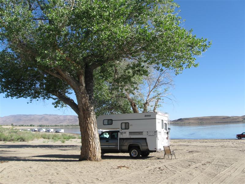
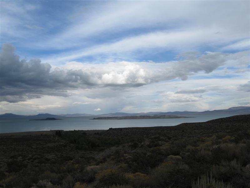
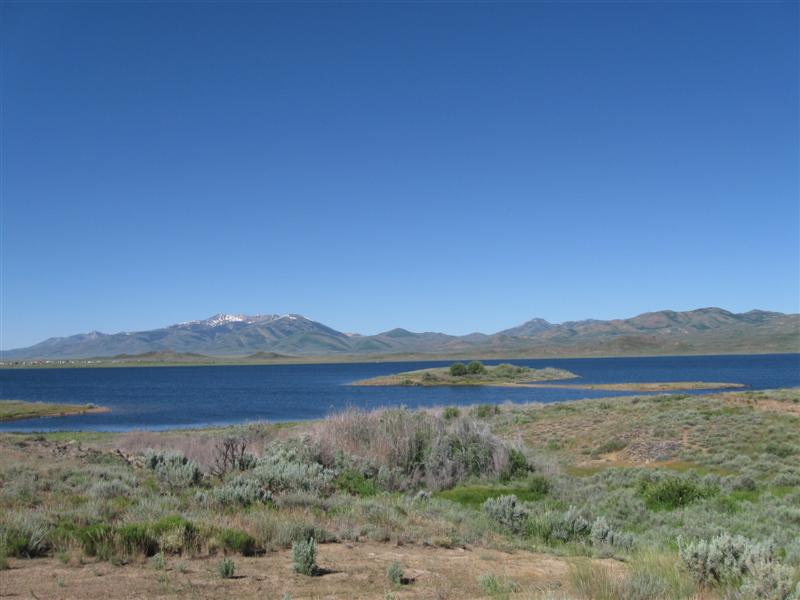
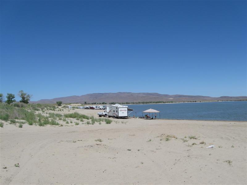
6/30/10 |
Lahotan State Recreation Area. From Silver
Springs, NV take hwy 95A S about 2 miles then east on
Fir Rd. Watch for sign on left to camping area.
4100 ft. |
Very unique camping spot on the sandy beach of the large Lahotan Reservoir. "Camp where you want" style camping. Access road follows perimeter of lake with access to various camping beaches. Most people are right by the water. However, I stayed back a bit, cuz I was worried about getting stuck in the sand. Yep, fraidy cat! $15. |
|
|
10 |
6/29/10 |
Wa Ka Luu Hep Yoo CG (USFS) near Dorrington, CA.
Take Boards Crossing Rd from hwy 4 for about
5 miles. 4100 ft. |
|
Beautiful campground in tall pines. 50+ sites on hilly land. Over 1/2 are tent only. Alongside the pretty Stanislaus River (N Fork). Wish I had time to fish it. Some mosquitoes. $16. |
|
|
6/29/10 |
I'm on the road to Montana! There will be very frequent camping entries for the next 3 months. Check back often! |
|
|
|
9 |
6/17/10 |
Fremont Peak State Park CG. 11 mi S of San
Juan Bautista, CA on San Juan Canyon Rd. Note:
Last 5 miles very narrow and curvy. 2800
ft. |
25 paved sites in two areas on hilly land. Lots of trees. Very tedious driving to get here, but quite a view at the top. Very quiet at night, since no through road. Just me and one other camper at the other area. $25. |
|
|
8 |
6/16/10 |
Pinnacles National Monument CG. 29 mi S of
Hollister, CA on Airline Hwy, then 2 mi SW on CA146.
1000 ft. |
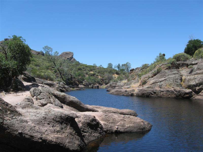
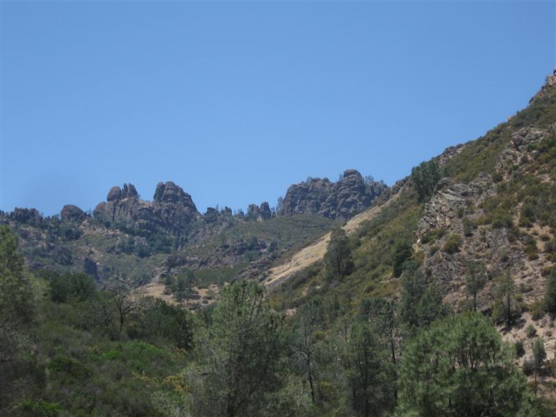
120 paved sites (incl 37 w/elec) on level land. Several really big oak trees and other smaller trees and bushes. One lane, sometimes rough, road thru campground. Swimming pool. Lots of rabbits in the evening. No generators allowed. Yea!! Lots of hiking trails nearby. $23. |
|
|
7 |
6/2/10 |
Tehachapi Mountain Park CG (County) 8 mi SW of Tehachapi, CA on Water
Canyon Rd. 5500 ft. |
60+ dirt sites on hilly land. Lots of pine trees. New vault toilets. Was also here in 2008. $14. |
|
|
6 |
5/31/10 - |
Boondocking site (BLM). Not a developed campground. In
the Alabama Hills area a few miles W of Lone Pine, CA,
off Whitney Portal Rd. 4700 ft. |
|
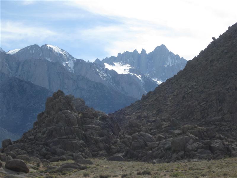
The site of many old western movies. I could be camped where Roy Rogers galloped by on Trigger. :) Very interesting rock formations close by and the snow covered Sierras in the distance. Absolute quiet at night. Military jet sounds during the day. Mt. Whitney visible from my site. $0. Visted the very interesting Museum of Lone Pine Film History. Highly recommended! |
|
5 |
5/28/10- |
Tuttle Creek CG (BLM). 5 mi SW of Lone Pine,
CA via Whitney Portal Rd & Horseshoe Meadow Rd.
5100 ft. |
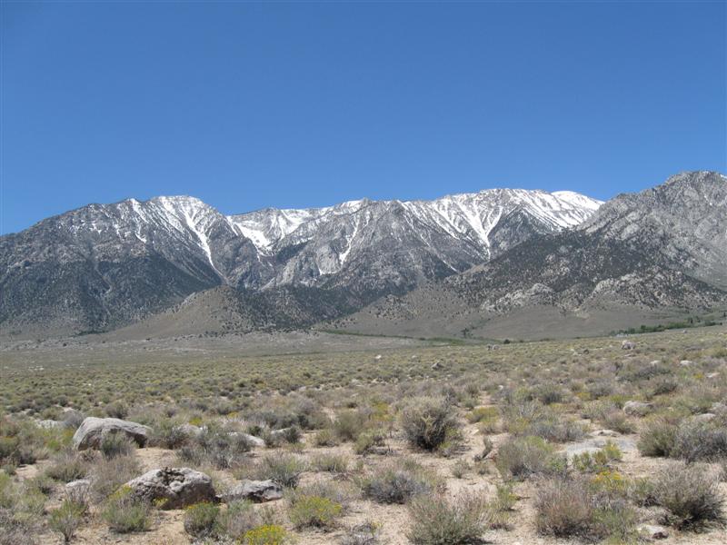
80+ dirt sites, well apart, on sloping ground. Pit toilets. Beautiful view of the snow capped eastern Sierra mountains and the Owens Valley. Very small creek in CG, but stocked with trout. Just several miles away from the highest point in the lower 48 - Mt. Whitney, 14,494 ft.. Got here Friday a.m., before the holiday weekend crowd, and snagged me a great site. $5. |
|
|
4 |
5/27/10 |
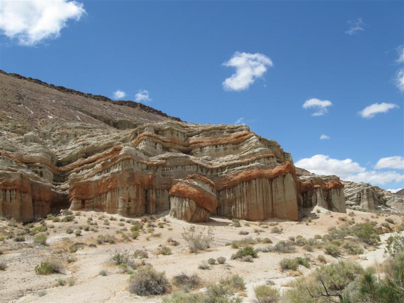
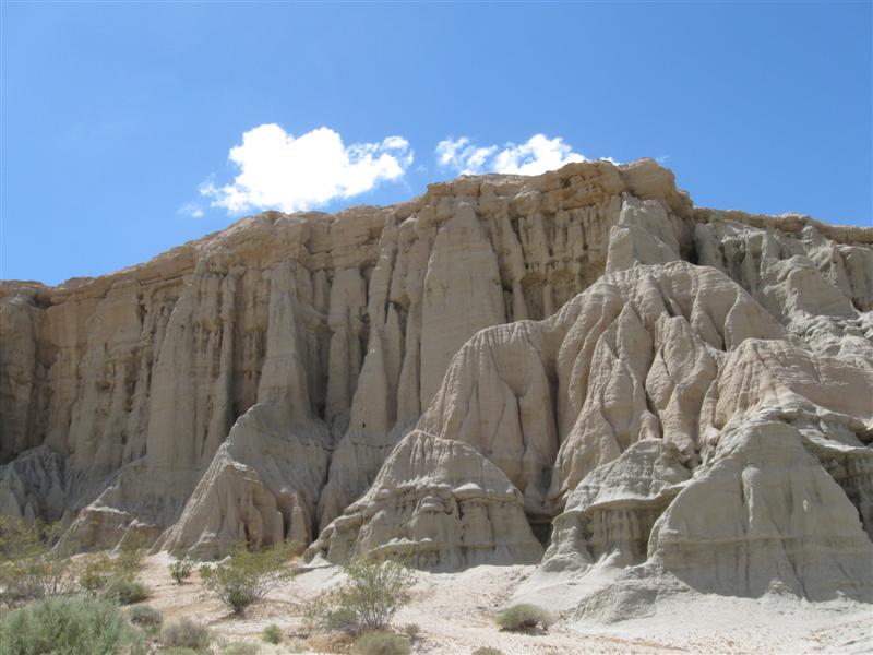
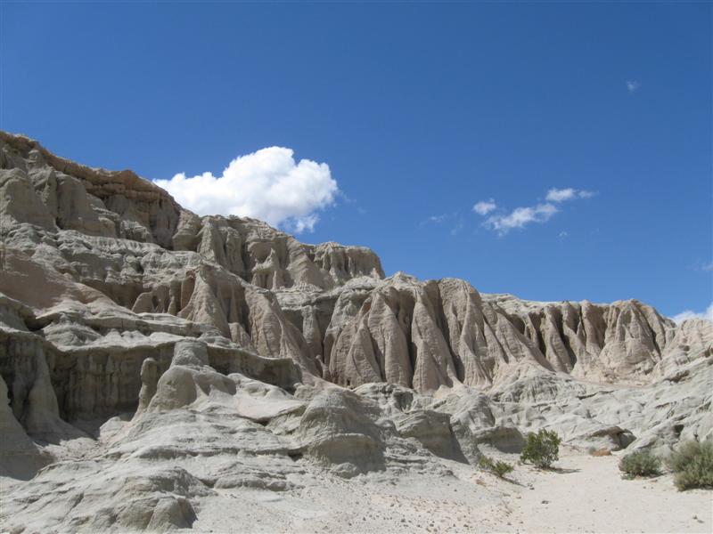
Ricardo CG, Red Rock Canyon State Park. 25 mi north of
Mojave, CA off CA14. 2600 ft. |
|
50 dirt sites. Desert environment. Interesting rock formations here. Off highway far enough to be very peaceful. A bit windy, but not bad. $25 (ouch, was $12 in '07). |
|
3 |
5/13/10 |
Doheny State Beach CG in Dana Point, CA. 40 ft. |
My usual campground when visiting Orange County. 100+ sites. Very popular. Some campsites right on the sand. I'm the next row back to save $25 (8+ gal of gas). $35. |
|
|
2 |
5/11/10 |
Steckel Park CG (County), 5 mi N of Santa Paula, CA on Ojai Rd.
700 ft. |
|
My frequent stop to and from SoCal. 25+ sites between the hwy and a large river bed. Quite a few large trees. I'm in the cheap, no hookup section, with dirt sites. $22 (up $2 from Oct 09). |
|
1 |
5/6/10 - |
Parkfield (CA) Bluegrass
Festival. NE of Paso Robles, CA in farming country. About
15 mi off of CA41/46 or 25 mi off US101, via San Miguel. 1500
ft. |
|
My first time at this neat, mid-sized festival. Since I live on the CA Central Coast during the winter, I knew several people that were there. Had a great time and the weather was very nice, until Sunday when it was so so. Try it, you'll like it! Wow, haven't seen this many stars in a long time! No city lights to compete. |


|
[Home] [Camper Add-Ons] [Campsite Map] [Magazine Interviews] [Photo Albums] [Sporadic Blog] [My Music] [Contact Me]
|