|
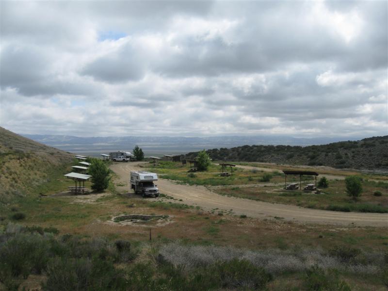
[Home] [Camper Add-Ons] [Campsite Map] [Interviews] [Photo Albums] [Sporadic Blog] [Tips] [My Music] [Contact Me]
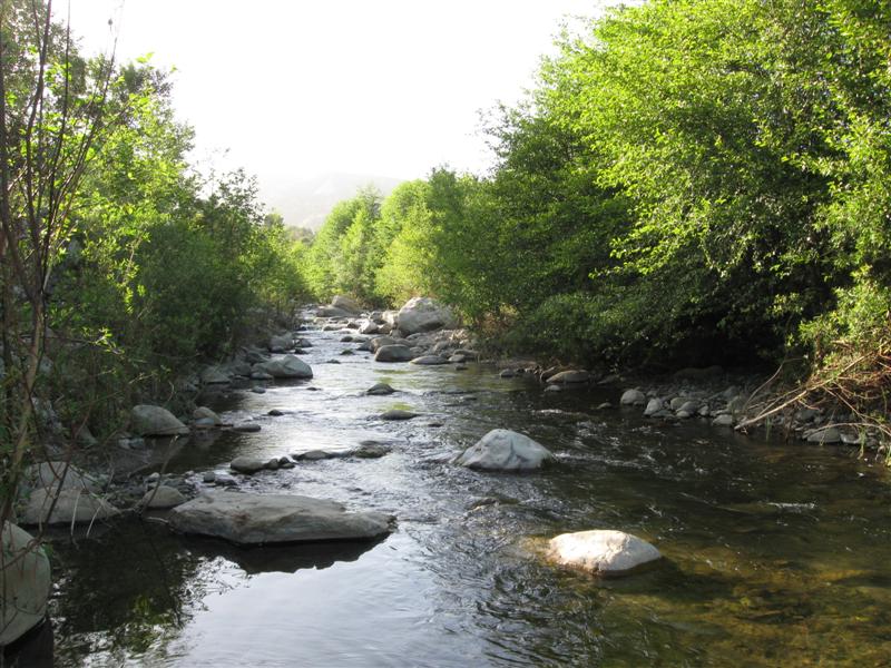
|
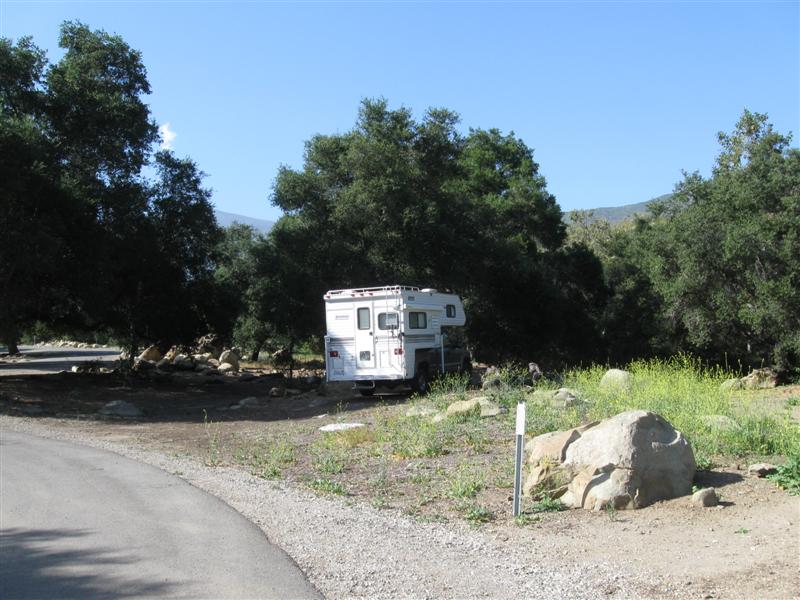
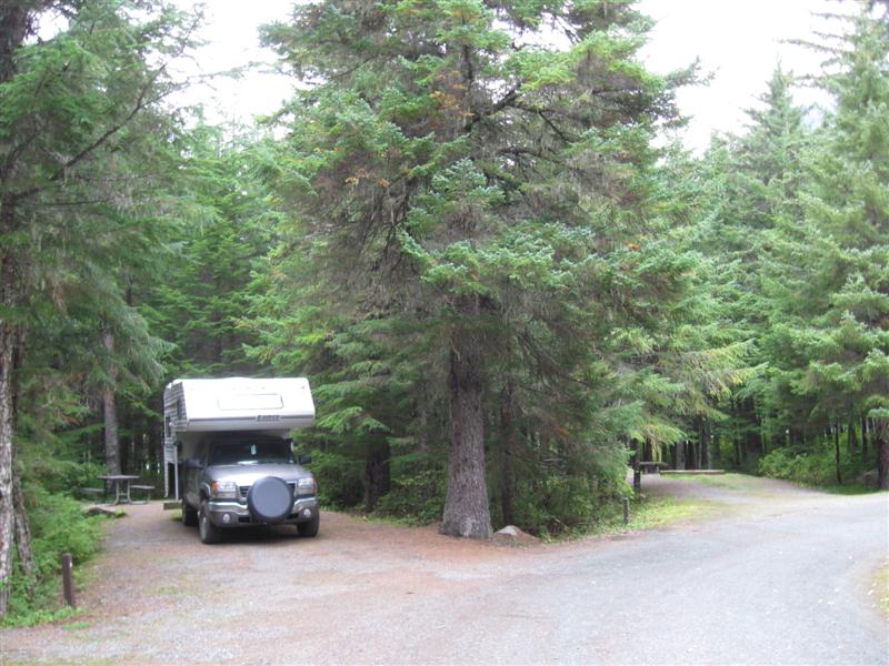
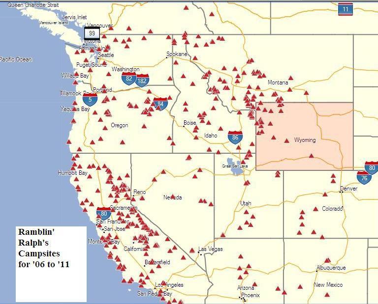
- The "big picture" of where I've camped
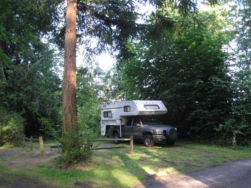
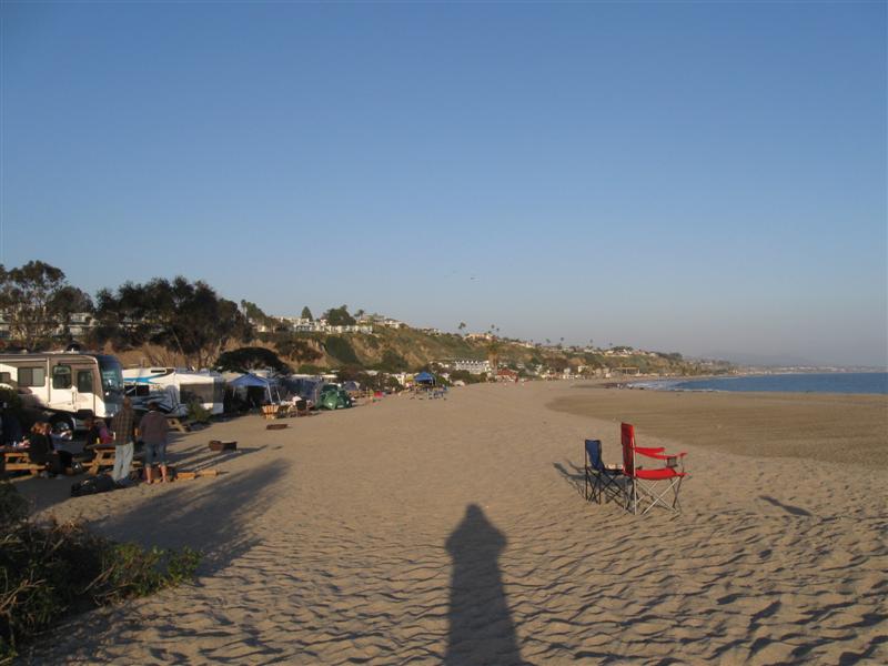
- Sign my guest book and leave comments
- One of my photos was a winner in the Truck Camper Magazine 2011 Calendar Photo Contest! See it here.
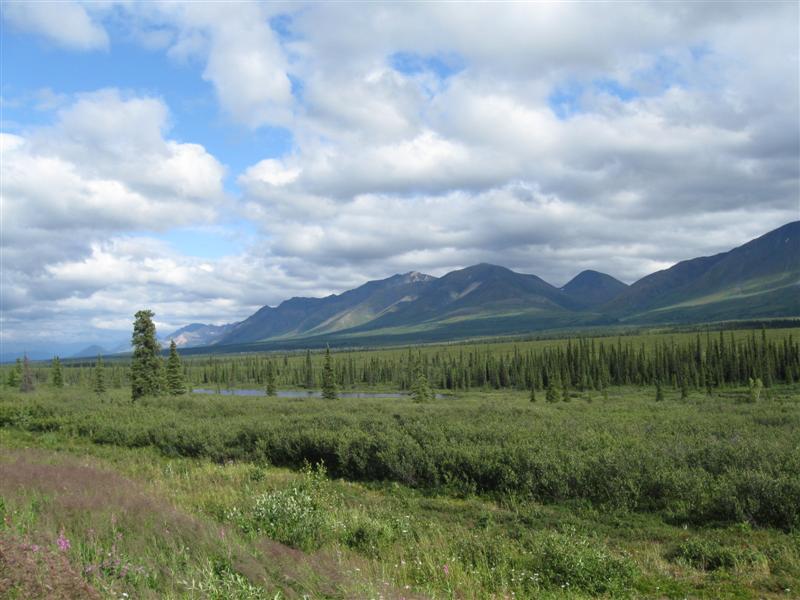
![]()

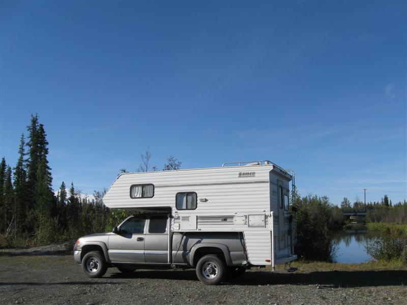
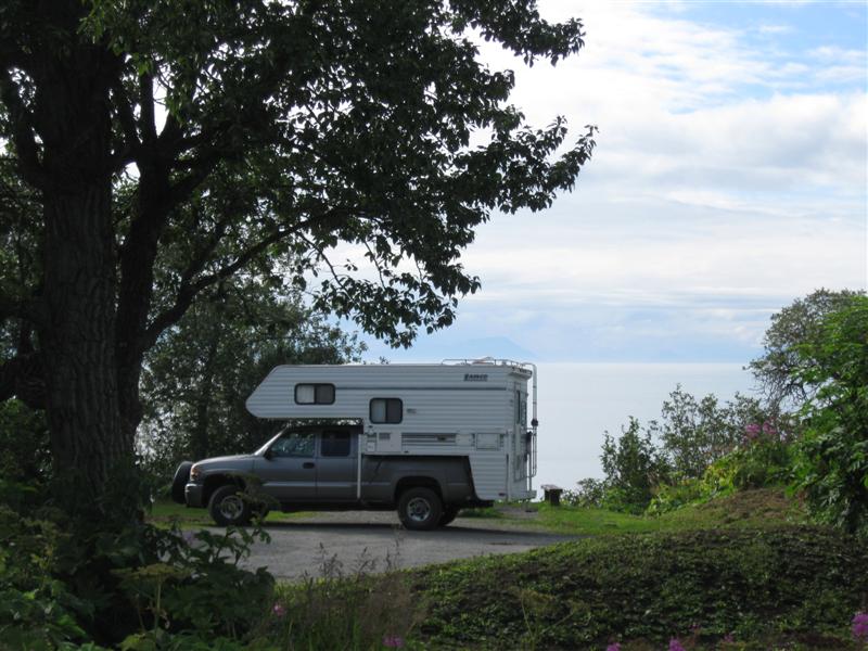
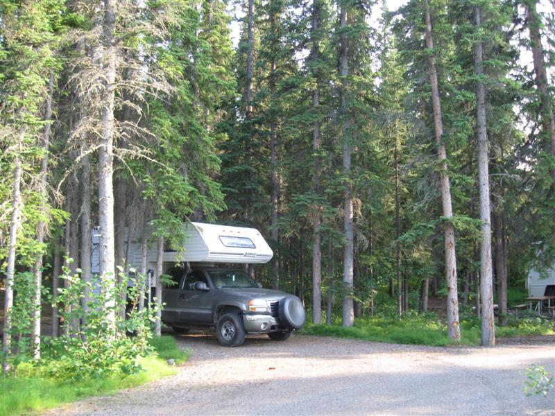
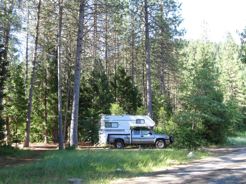
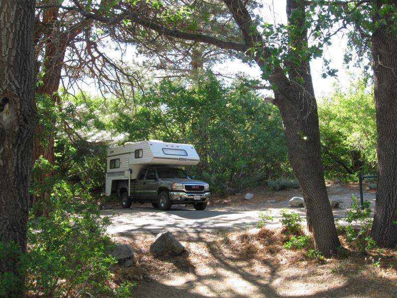
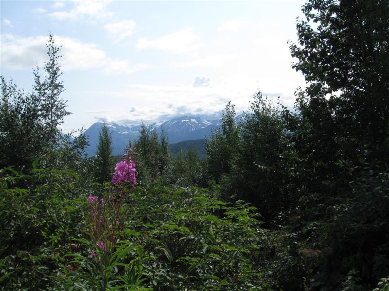
2006
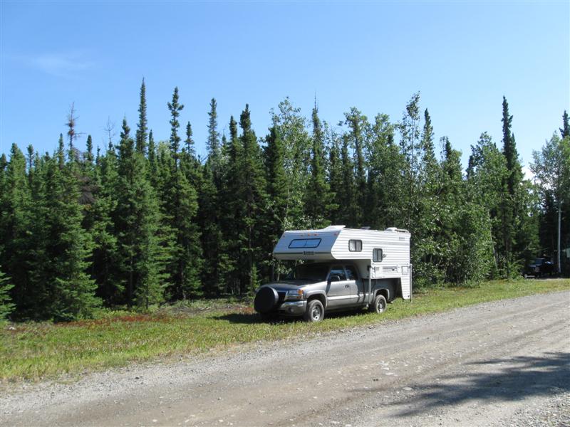
GMC 2500HD w/2001 Lance 845 Previous years' travels: 2006
2007 2008 2009
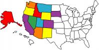
2010 2011 States
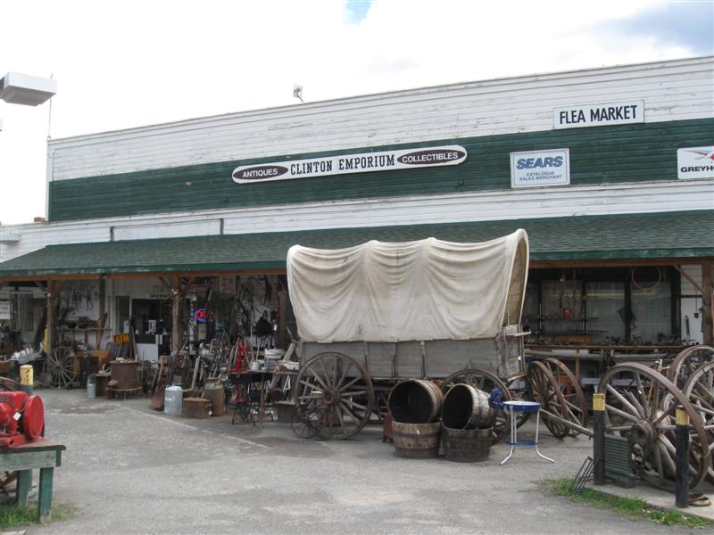
Visited Map (plus BC/AB/YT in Canada)
See current
year travels
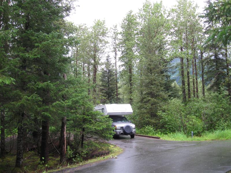
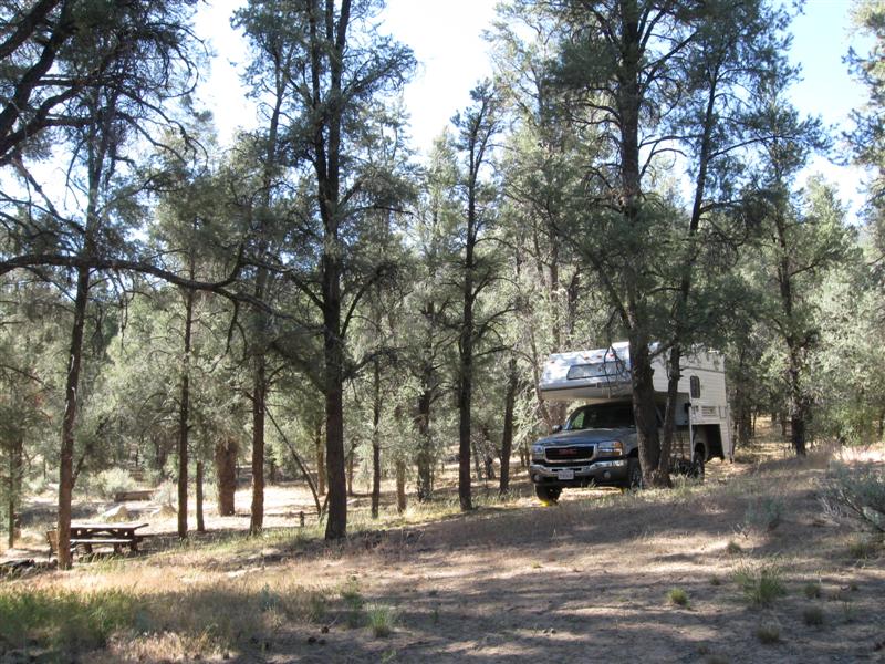
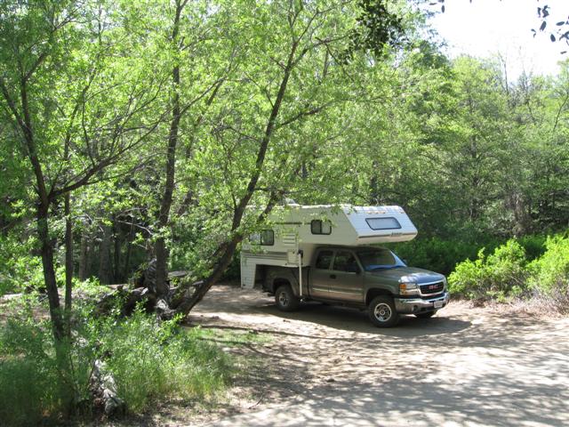
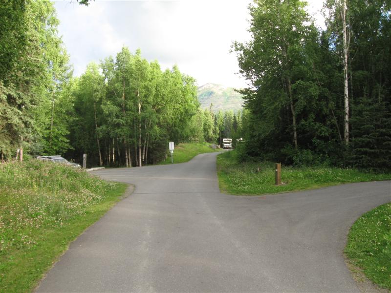
I bought my truck and camper in late October of 2005. After taking a few short trips in it, I "hit the road" full-time May 2006 for 6 months. Did it again for 6 months in 2007 -> 2011. Now it's 2012 (my how time flies) and I'm doing it again! Not all of my nights are spent camping, but most are. I'm not making entries that are repeats of previous campgrounds for this year or when I stay with my kids or friends. Campsite fees are for one night with no discount (and no hookups). However, being the old geezer that I am, I get 50% off at U.S. Guvmint CGs with the valuable Golden Age card, plus free entry to National Parks.. One of the few ways (in addition to retirement) it pays to get older.
Note: Click on small photos for a larger one. Click on
the USA map/flag (![]() )
to see the actual camp location (green arrow) on a map (+/- 50 ft).
)
to see the actual camp location (green arrow) on a map (+/- 50 ft).
|
Ref # |
Date |
Location |
Campsite & Other Photos (click links) |
Comments |
|
|
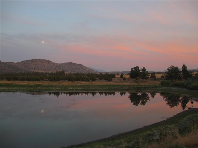
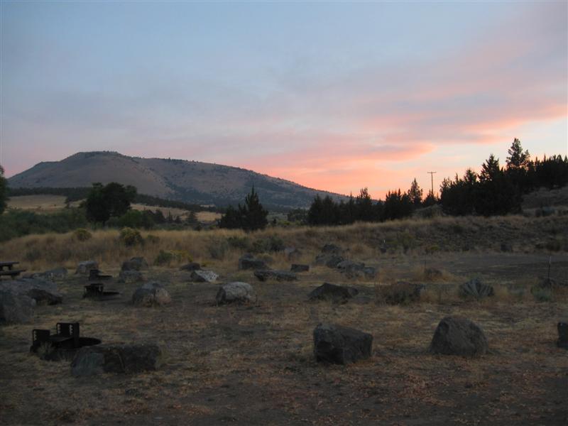
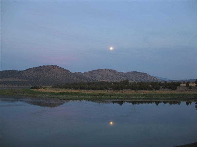
11/6/12 |
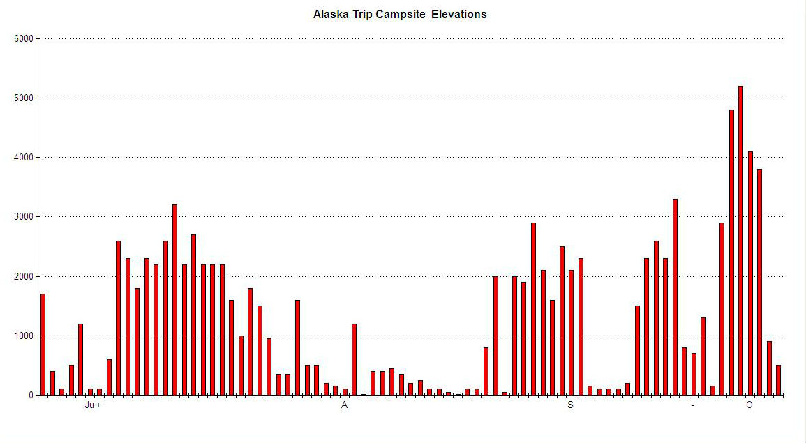
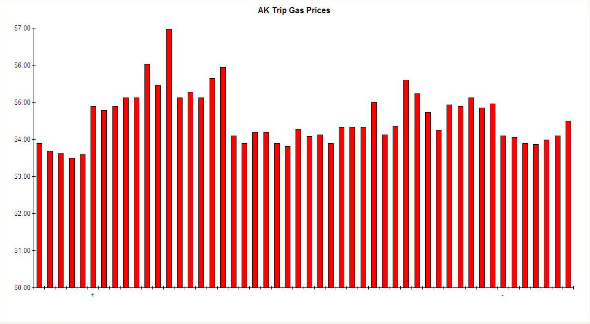
Well, my ramblin' for 2012 is finished! I'm back at my winter residence on the Central Coast of California. The camper is off the truck and on its jacks in the driveway, and resting up for Road Trip 2013. Been a great 6 months of ramblin' with my looong trip to Alaska. This year's stats:
Here are some graphs that might be of interest.
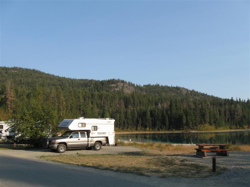
They cover the Alaka trip. On the bottom axis
the "+" and "-" indicate when I
entered Canada and exited it on my way back: Below you'll find an entry for every place I camped this year, along with a lot of pictures of the beautiful scenery and interesting things I saw. You can contact me by email or by signing my guest book. Thanks for following my travels this year!! |
|
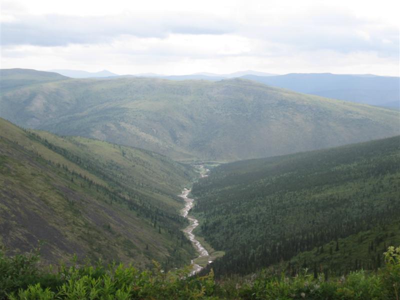
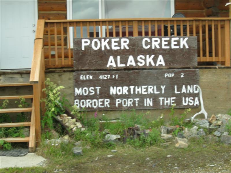
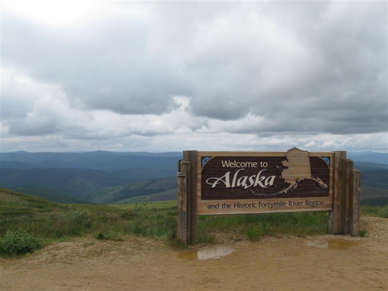
Approximate miles traveled from home on Alaska
trip: 9200 mi
(final) Trip Sticker Shock: (* = didn't pay
it) |
|
88 |
10/19/12 & 11/5/12 |
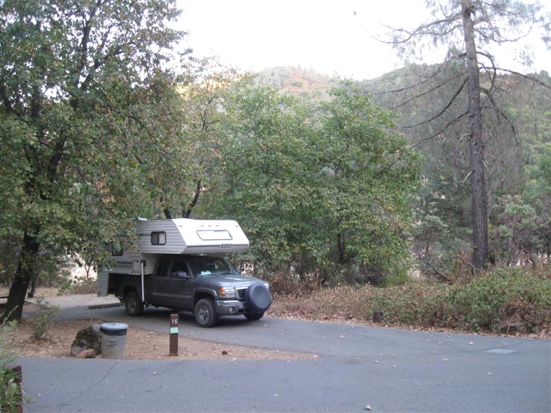
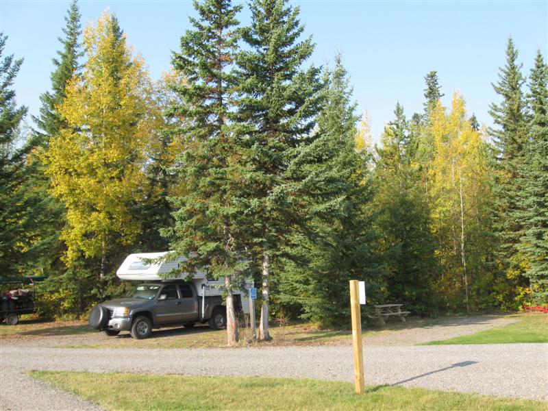
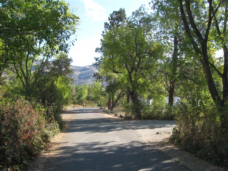
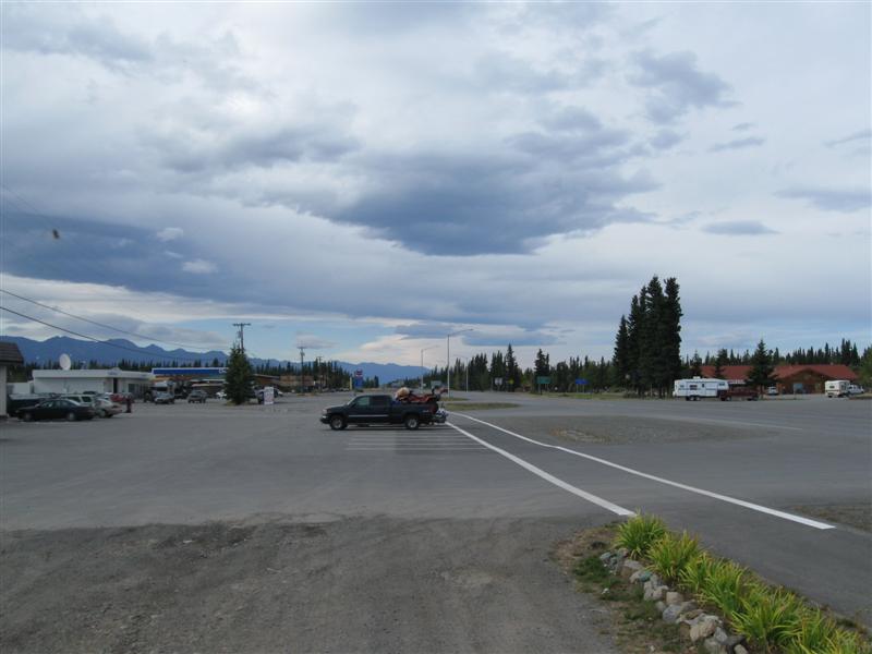
Steckel Park CG (County), 5 mi N of Santa Paula, CA on Ojai Rd.
700 ft. |
|
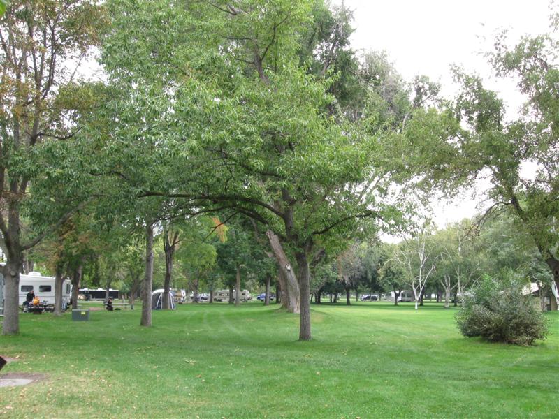
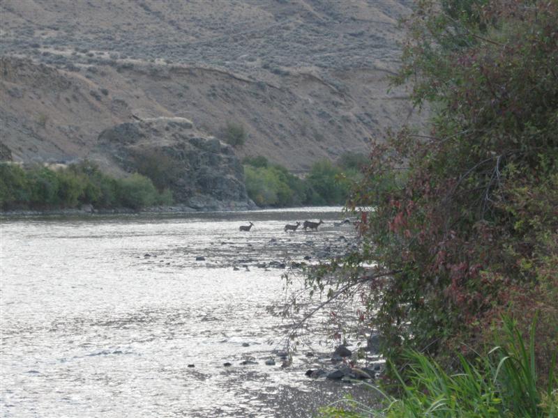
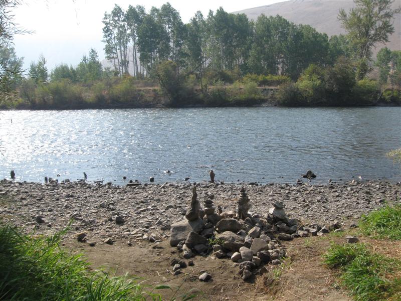
My frequent stop to and from SoCal. 40+ sites between the hwy and a large river bed. 8 or so with hookups and concrete pads. Quite a few large oak trees. I'm in the cheaper, no hookup section, with dirt sites. Santa Paula River a short walk. $22. |
|
87 |
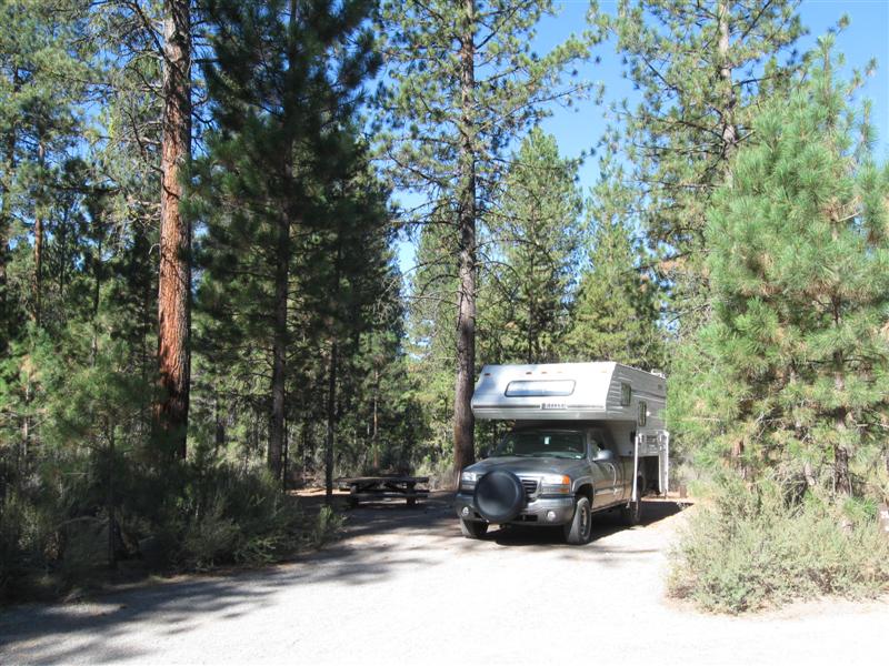
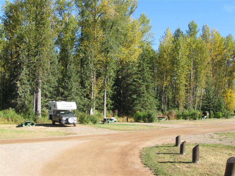
10/5/12 |
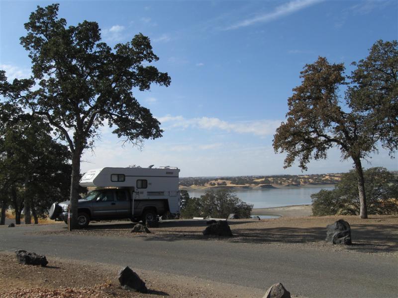
Buckhorn CG (COE). On Black Butte Lake. 12
mi W of I5 near Orland, CA on County Rd 200, then 1
mi S on lake road. 500 ft. |
|
63 paved sites in scattered oak trees in five separate areas. Minimal shade. About 25 additional "parking lot" type sites (overflow?) shown on the map. Lake view from most sites. Was here in July 2011 when it was hot and crowded. Very pleasant weather this time and only about 1/3 of the sites in my 22 site area were taken. Lake much lower. Free-if-camping dump station. $18. |
|
86 |
10/4/12 |
Lakeshore East (USFS). 24 mi N of Redding,
CA on I5, then about 2 mi SW on Lakeshore
Dr. 900
ft. |
26 paved sites (some doubles), well apart, along each side of a straight interior CG road. A mix of pine and oak trees, plus other vegetation. Sites on the lake side of the road have a water view, but it's low this time of year. You see more rock bank on the other side of the narrow lake arm than water. I5 far enough away that noise is not significant. However, nearby train track will generate some now and then. Handy to I5 for one night stop. $18. |
|
|
85 |
10/2/12- |
Algoma CG (USFS). 14 mi E of McCloud, CA on
hwy 89, then 1 mi S on unmarked, paved road. 3800
ft. My first night back in California, after being "up north" for 3 months and 1 week! |
|
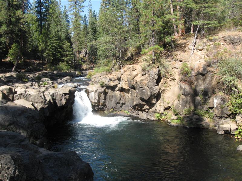
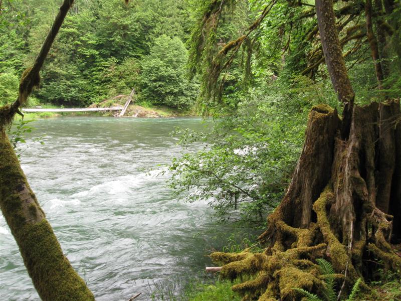
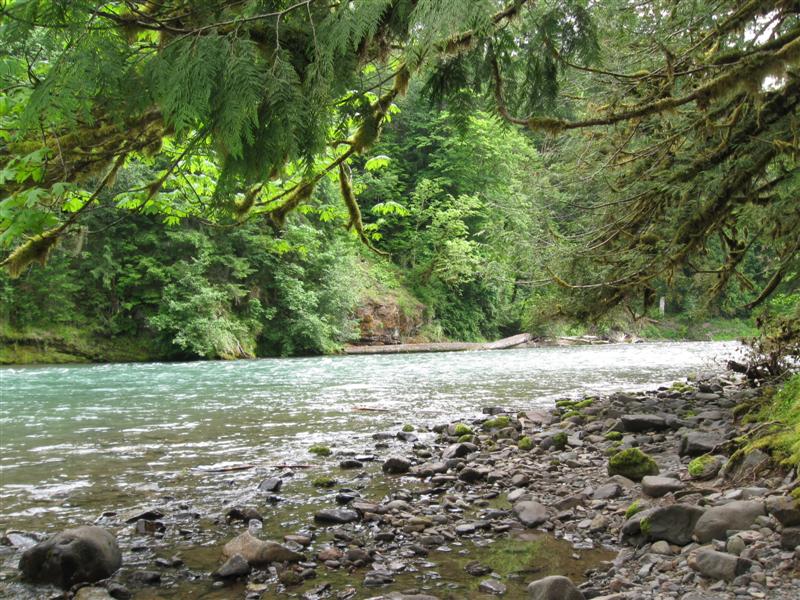
A minimally developed CG with about 6 dirt "sites" in 2 separate areas. Leveling blocks may be needed. Picnic tables, rock fire rings and old style pit toilet. Alongside the small (at this location) McCloud River. Was here last summer. Nice and quiet at night. Almost like boondocking. Uncle says "no charge". $0 Did some exploring of the McCloud River downstream by driving. It's a very picturesque river with 3 nice falls. Tried a little bit of fishing with my flyrod, but no luck. Saw a couple of others catching some, though. |
|
84 |
10/1/12 |
Williamson River CG (USFS). 29 mi N of Klamath
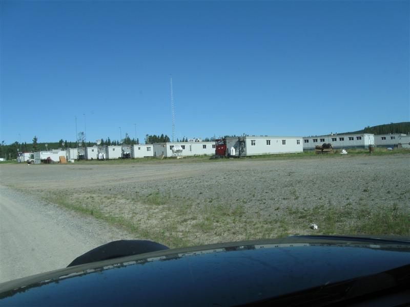
Falls, OR on US97, then 1.5 mi NE on dirt road (same
exit as Collier State Park CG). 4100
ft. Note: 1.5 mi dirt road from US97 to CG is very rough with washboarding. Speeds of 10 to 15 mph best. |
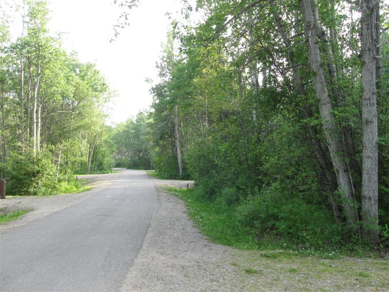
20 gravel sites on level land in one loop. About 1/4 mile walk to the small, clear Williamson River. Tried fishing a bit with my flyrod, but the usual luck - none. Down to 30F at night. $10. |
|
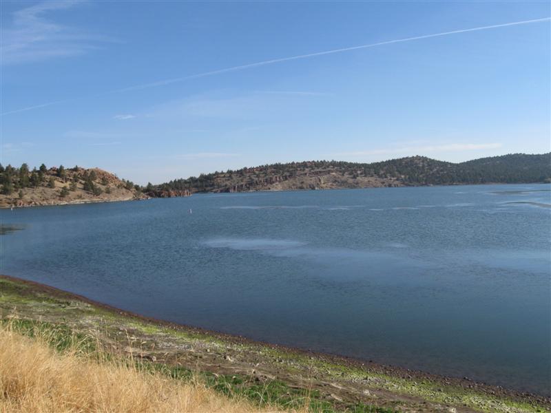
|
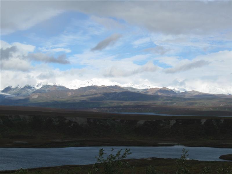
83 |
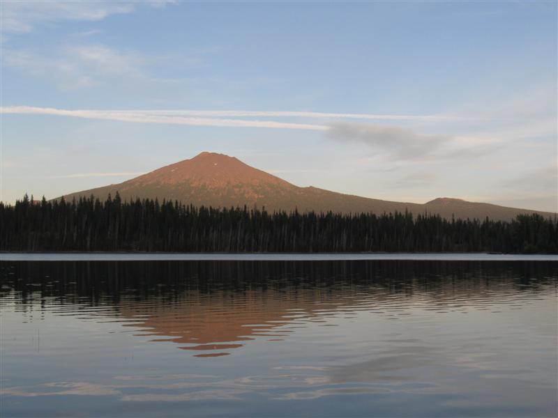
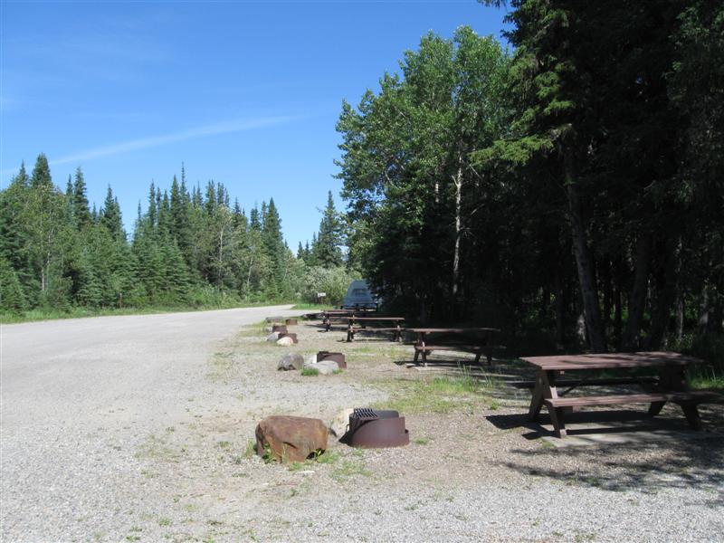
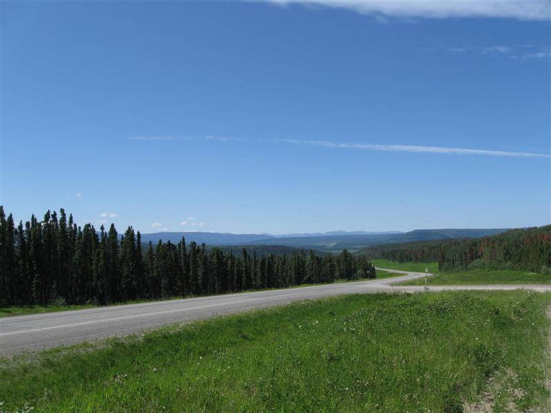
9/30/12 |
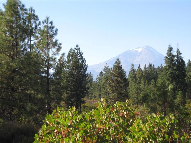
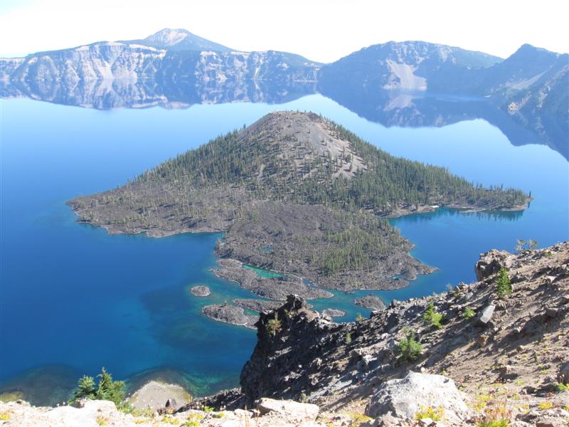
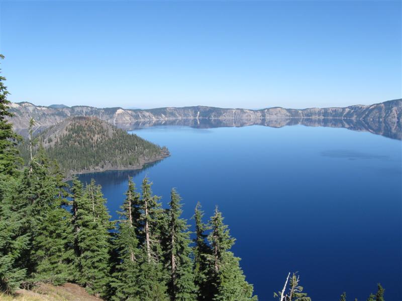
Thielson View CG (USFS). About 5 mi NW of the
OR138/OR230 jct N of Crater Lake National Park. 5200
ft. |
|
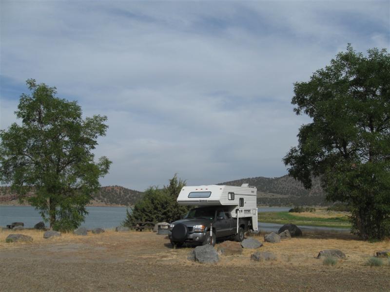
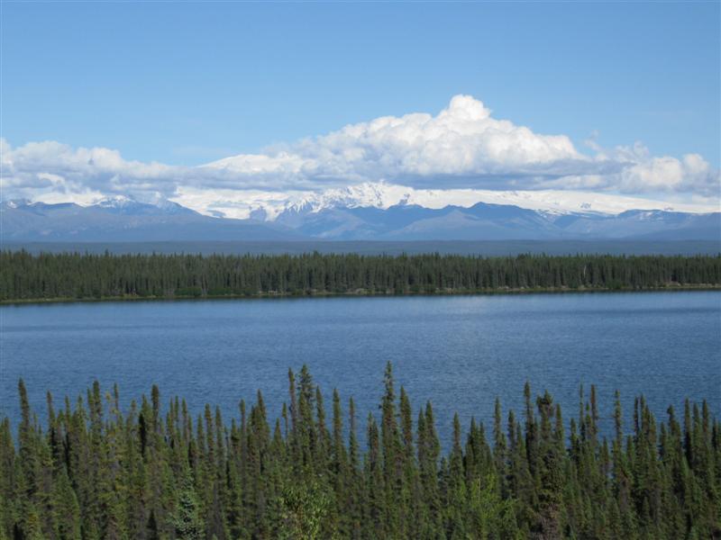
60 paved sites on level land in 3 loops. On the large Diamond Lake. Sites well apart and well screened. Dense trees give some sites shade most of the day. Not many sites on the lake (vs. across the CG road from it). .Great view of the unique "spikey" Mt. Thielson across the lake. $15 |
|
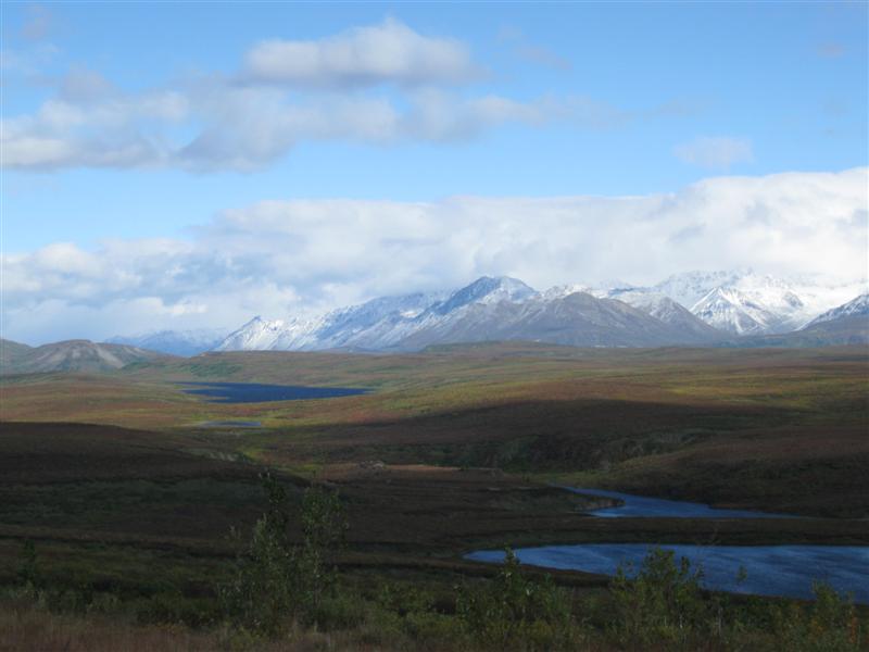
82 |
9/29/12 |
Point CG (USFS). 33 mi SW of Bend, OR on Cascade
Lakes Hwy. 4800
ft. |
10 gravel sites on sloping land, beside Elk Lake. Great view of Mt. Bachelor across the lake. The CG is right beside the hwy and you'll hear every vehicle that passes by. Two other sites occupied. CG closed the day I left. Down to 34F at night. $14. |
|
|
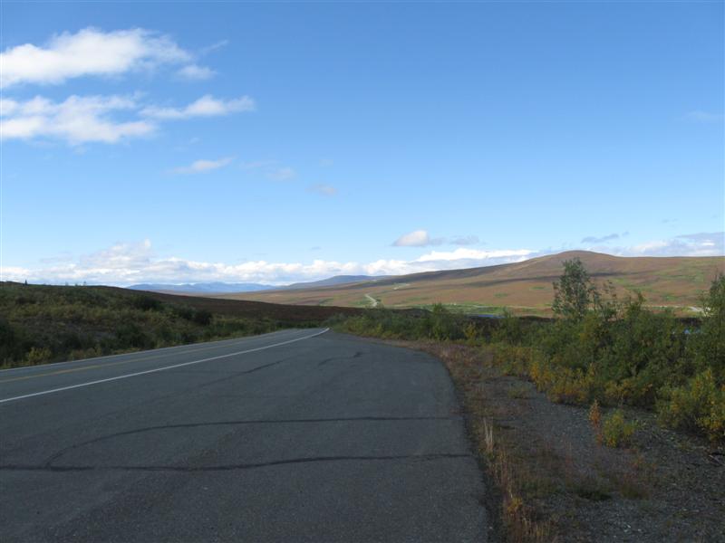
81 |
9/28/12 |
Haystack West Shore CG (BLM). About 12 mi S
of Madras, OR, on US97, Jericho Rd & Haystack
Rd. 2900
ft. |
|
Primitive CG with 14 dirt sites on level land alongside a medium size lake. All sites back onto the lake and have a good view of it. Sites spacing varies from close to adequate. No vegetation screening between sites. There are some large trees, however, that provide some shade during part of the day. Well away from the hwy, so very quiet at night. Vault toilet. Only about 3 other sites occupied. This is a pleasant place to sit in your chair and enjoy the lake and hill scenery and the various birds around. $10. |
|
80 |
9/27/12 |
Maryhill State Park CG. About 1 mi S of Maryhill,
WA on US97. 150
ft. Note: Coming S on US97 you have to make a 180 degree turn to stay on US97 at the jct with WA14. Easy to miss it. I did. :) |
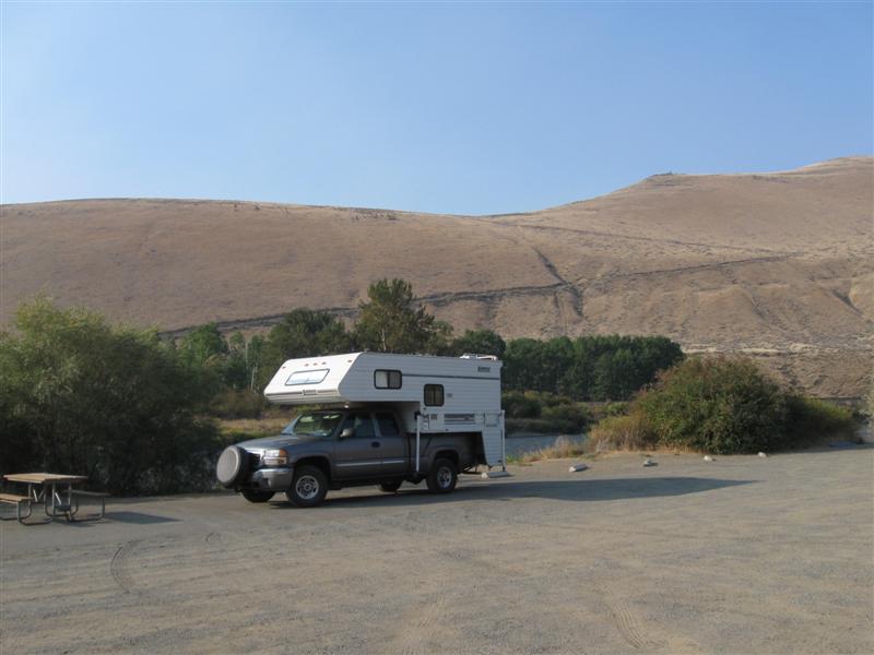
Very nice CG with 72 gravel sites on level land, including 20 tent only (no RVs allowed). Two loops; RV and tent. Sites well apart with plenty of grass and large trees. The mighty Columbia River is alongside the S part of the CG and a very short walk across the gravel shore. A bit noisy from trucks climbing/descending steep US97 and nearby train track. Offseason: $28 (w/elec. and water). And the smoky air continues! :( |
|
|
79 |
9/26/12 |
Lmuma Creek CG (BLM). About 16 mi S of Ellensburg,
WA on WA821 (Canyon Rd). 1300
ft. |
|
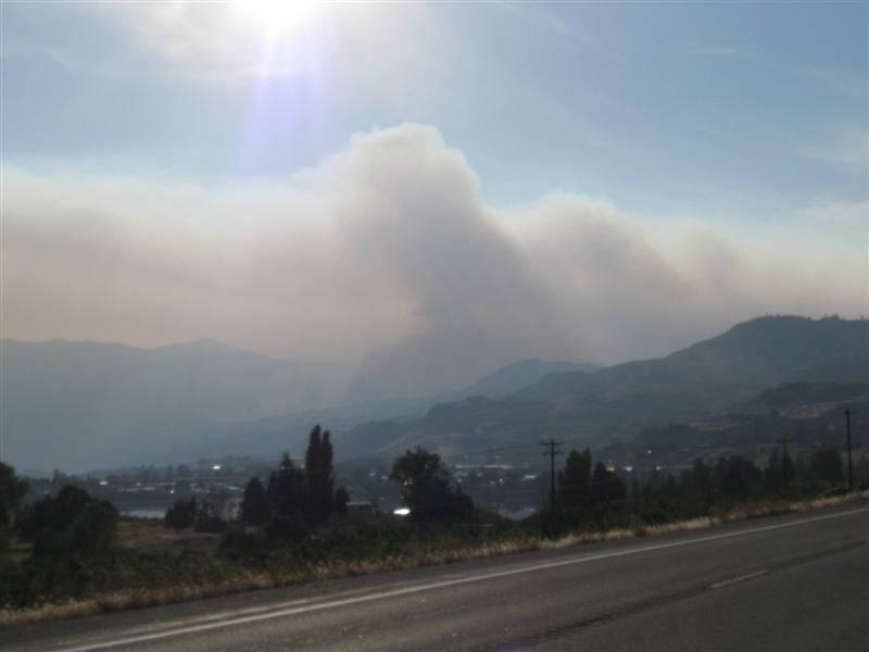
7 primitive sites in a canyon setting on the pretty Yakima River. Vault toilets. The road beside and above the CG has more truck traffic than I expected (or wanted). Otherwise, only the sounds of nature (plus a train now and then). My own private campground tonight. Three other BLM CGs along this same road. In season $15, but now $0. Even more smoky driving today than yesterday, ruining the Columbia River scenery alongside the hwy. In Wenatchee, I heard that US97 had "one lane pilot car" activity on my intended route. So I took the hwy along the E side of the river to Yakima. Good decision! |
|
78 |
9/25/12 |
Beebe Bridge CG (County). About 57 mi SW of
Omak, WA on US97. 700
ft. Back in the Lower 48 USA, after 12 weeks away! |
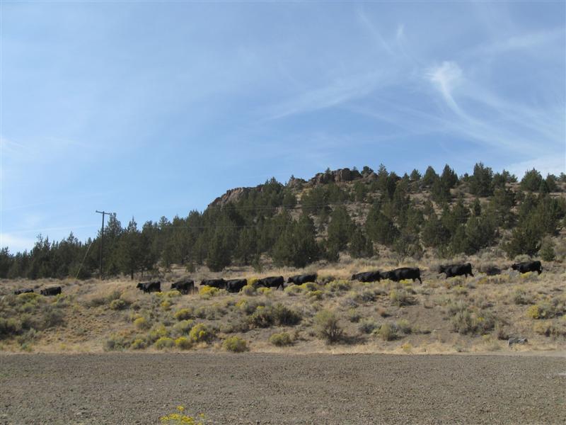
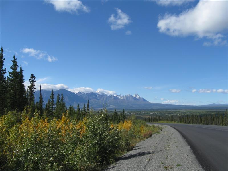
Wow, a gem of a CG! 46 paved sites (some closed), with water and electricity, surrounded by well mowed, very green grass. Sites well apart, but no visual screening between them. Some medium size trees scattered around, but shady sites are minimal. Many sites are alongside the wide Columbia River (aka Lake Entiat), with a great view. Only negative here is that US97 is also alongside the CG, so there is some hwy noise. Usually $28. However, now is off-season, so the rate is $23. But wait, if you order now and you're 62 or older (hey, that's me!) it's only $12. It was a smoky drive today down US97. Bummer, since it's right alongside the Okanogan River for nice scenery. For the first time in a border crossing with my camper, an agriculture inspector came inside to check things out. She said she liked my pictures I had taped to my cabinets. :) |
|
|
77 |
9/24/12 |
Haynes Point Prov Pk CG. About 2.5 mi SE of
Osoyoos, BC on hwy 97 and 32nd Ave (follow signs).
800
ft. |
|
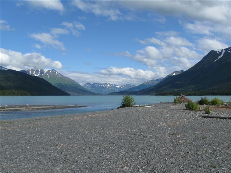
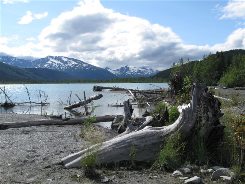
41 gravel sites on a skinny peninsula surrounded by beautiful Lake Osoyoos. Sites well apart and well screened by vegetation. Sites on the outside of the single loop road back onto the lake, close enough to chuck a rock into it. Those on the inside back into the bushes (watch out for the poison oak). Osoyoos is a very popular recreation area, so this was the most expensive Provincial Park I stayed in at $30 (most were $16). Being only a one night transient stop, I didn't think it was worth it for the "inside" site I got. YMMV. Very smoky air when I arrived, due to fires south of the border. However, the next morning was clear, because a strong breeze came up from the N. Very scenic here, so was nice to see clear air before I left. This is the last night of my trip outside the "lower 48". I crossed the BC border 12 weeks ago, on July 2, on my way to Alaska!. |
|
76 |
9/23/12 |
Kentucky-Alleyne Prov Pk CG. 23+ miles SE from
Merritt, BC on hwy 5A, then 3+ miles E on paved Bates
Rd. 3300
ft. |
|
58 gravel sites, split into 2 separate CGs; Kentucky Lake and Alleyne Lake. Shade varies with site, from nil to quite a bit. Kentucky Lake sites are on a level area, while Alleyne Lake's are mostly on a hillside, slightly above the lake. I got a primo lakefront site on Kentucky, with a great backdoor view of the lake. Several people out rainbow trout fishing in canoes or float tubes. Well away from the hwy, so very quiet at night. A very peaceful spot - day or night. About 80F when I arrived late afternoon. $16. I took the backroad Hwy 8 from Hwy 97 to Merritt to get here. Curvy, but scenic. Follows a nice river most of the way. |
|
|
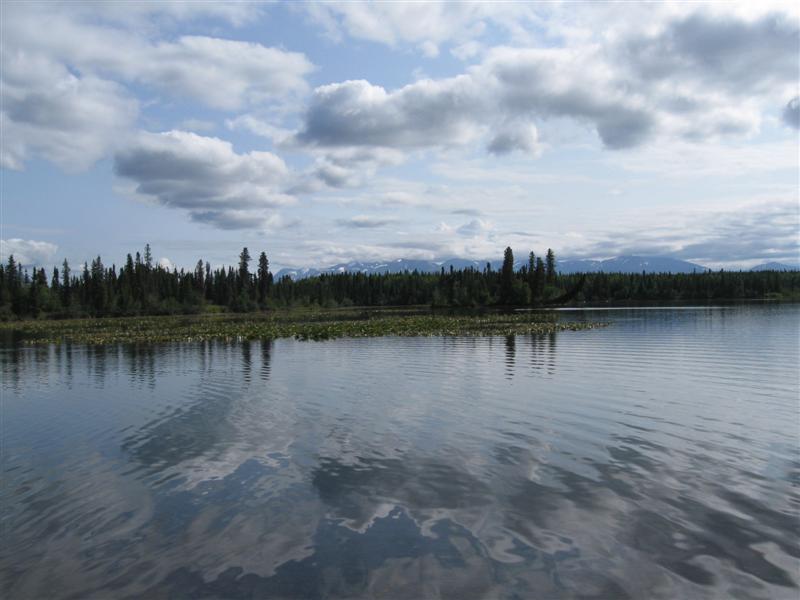
9/22/12 |
Same CG as #21 on 7/4/12 (Lac La Hache). |
Sorry. No pics. |
Like last night. Only 8 or so other sites occupied. Guess the BCers think camping is over for the season? :) |
|
|
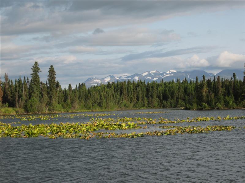
9/21/12 |
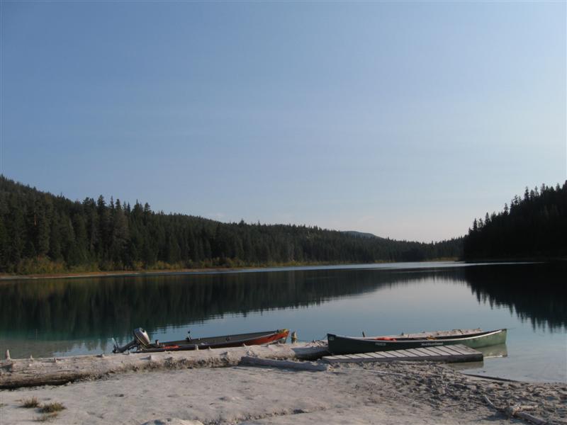
Same CG as #22 on 7/5/12 ( Ten Mile Lake) |
Only about 8 other sites occupied. Beautiful sunny weather. Even had my short pants and short sleeved shirt on for a bit. Very rare on this trip. :) |
|
|
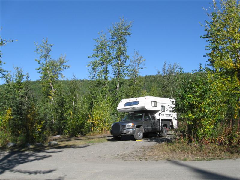
75 |
9/20/12 |
Dave's RV Park. 2 mi E of Vanderhoof, BC, off
hwy 16. 2300
ft. |
55 gravel sites on level land. Little privacy between most sites, since only small bushes. Nice building with flush toilets and showers. Friendly owner. $28. Two government CGs were closed for the season, so I had to stay at a commercial one. Very nice drive today with plenty of fall colors in the trees. |
|
|
74 |
9/19/12 |
Riverside CG (City). 1+ mi E from Hwy 16 in
Smithers, BC on Main St. and unpaved road. 1500
ft. |
50 (although it didn't seem like it) sites on level land, beside the pretty Bulkley River. Almost no privacy between sites, since very little vegetation. Tall trees border the CG. Large pavilion for day use. Free firewood. Flush toilets. $25 (w/sewer & water). Enjoyed walking Main St. in downtown Smithers. Had a very good lunch at Rob's. |
|
|
73 |
9/18/12 |
Ferry Island CG (City). Just E of Terrace,
BC off Hwy 16. 200 ft. |
|
On a large island in the Skeena River. 90+ large gravel sites on level land. Excellent privacy due to site spacing and dense vegetation. Very tall trees of the leafy type. Nice and quiet at night. $17. |
|
72 |
9/16/12- |
Prince Rupert RV Campground (Commercial, I think).
About 2 mi from Prince Rupert, BC on the way to the
ferry terminal (another 1+ mi). 100 ft. |
|
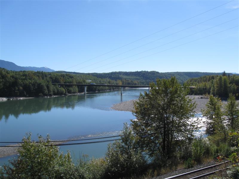
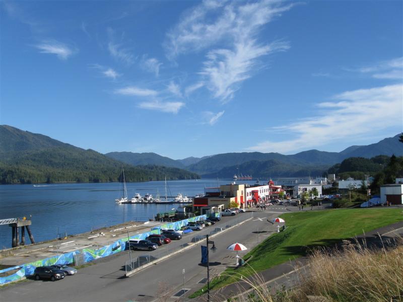
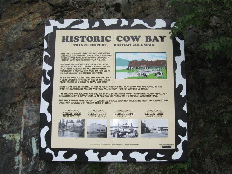
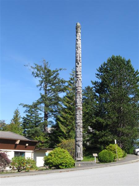
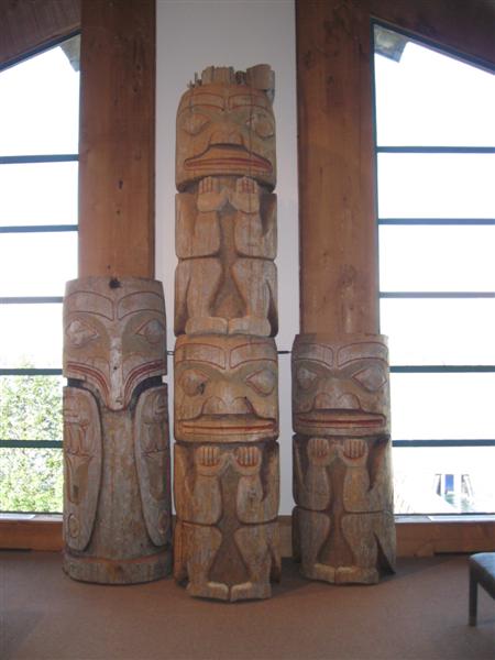
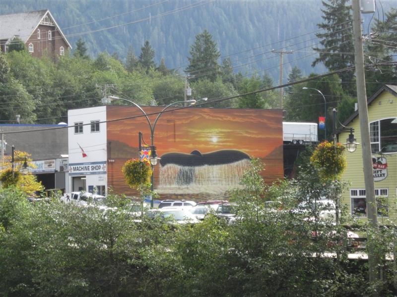
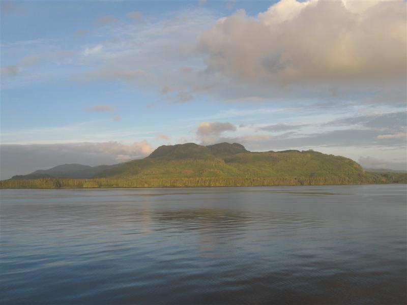
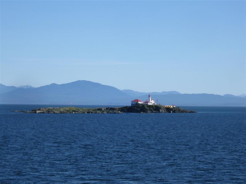
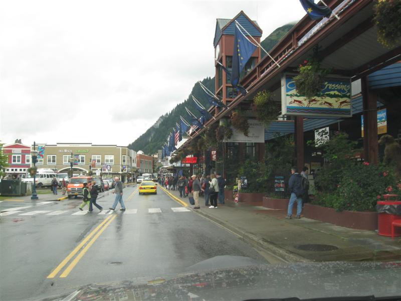
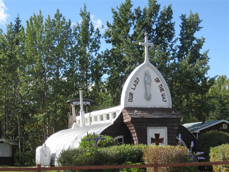
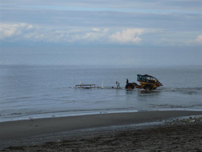
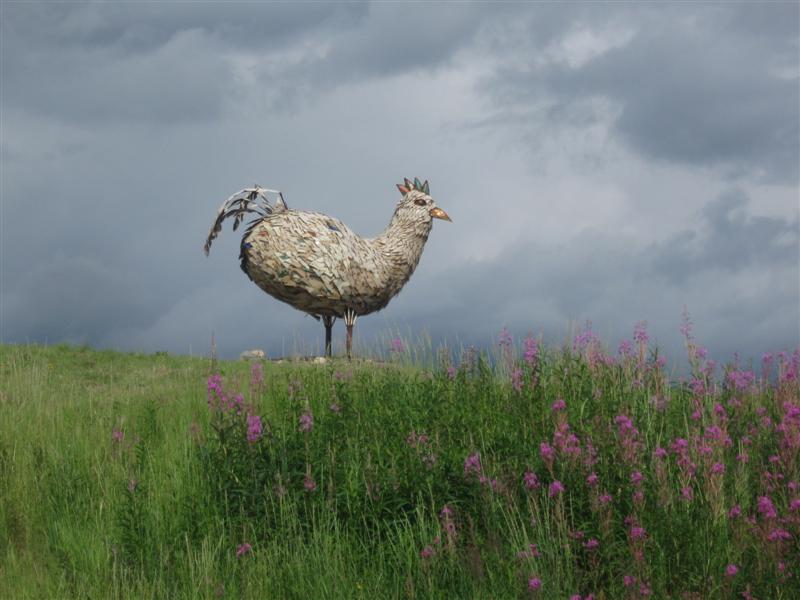
Nice CG with over 100 dirt/grass sites on sloping land. A minimal number of small trees. Sites not crammed together, like some other CGs of this type. Nice building with restrooms, showers and laundry facilities. Dump station (free for registered campers). $29. I enjoyed my visit to Prince Rupert. Maybe because I saw a lot of sun! :) Easy town to walk around in and see the waterfront and boat activity. Very good large museum on 1st Ave. and an old railroad station museum nearby. Check out the beautiful sunken garden behind the courthouse. The gardener told me it was orginally an ammo depot, with a train track to it (see tunnel in pic). |
|
|
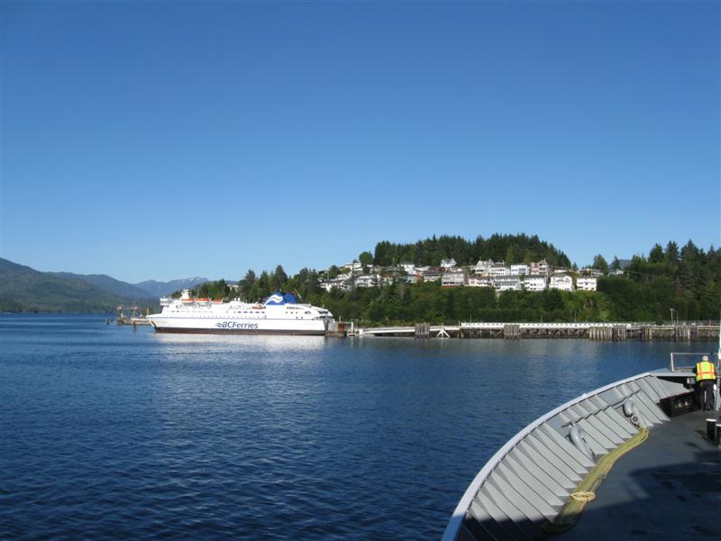
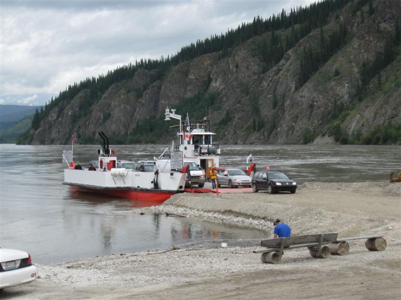
9/14/12- |
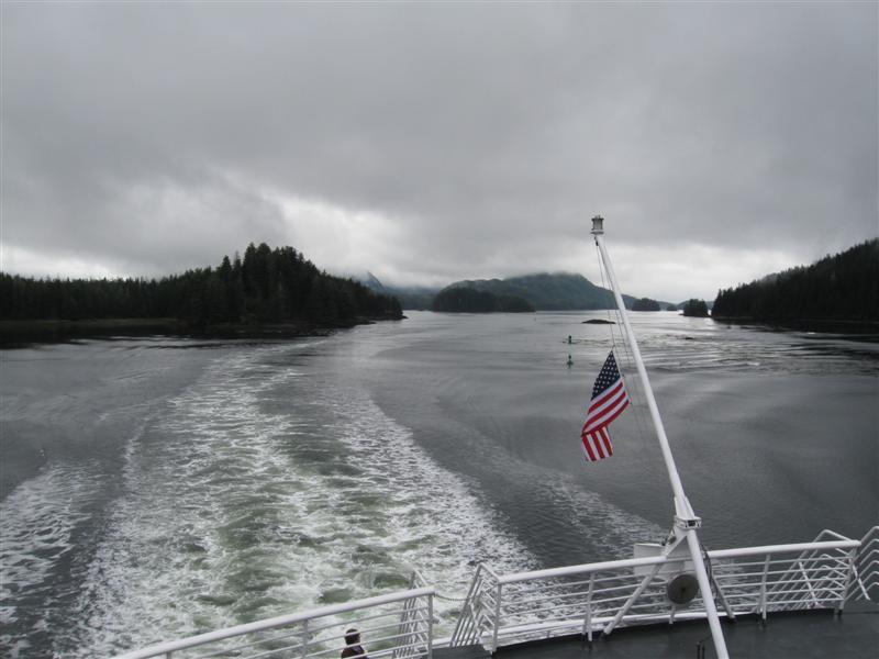
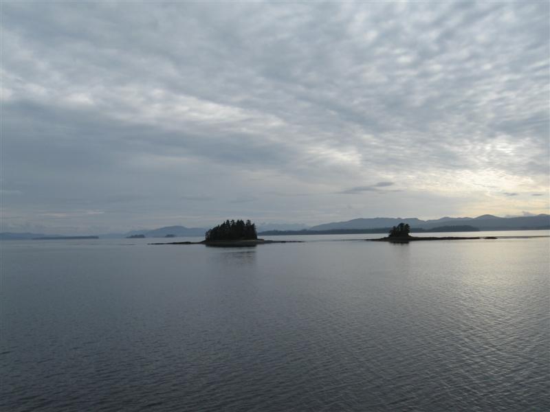
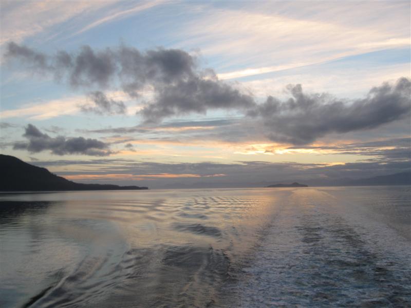
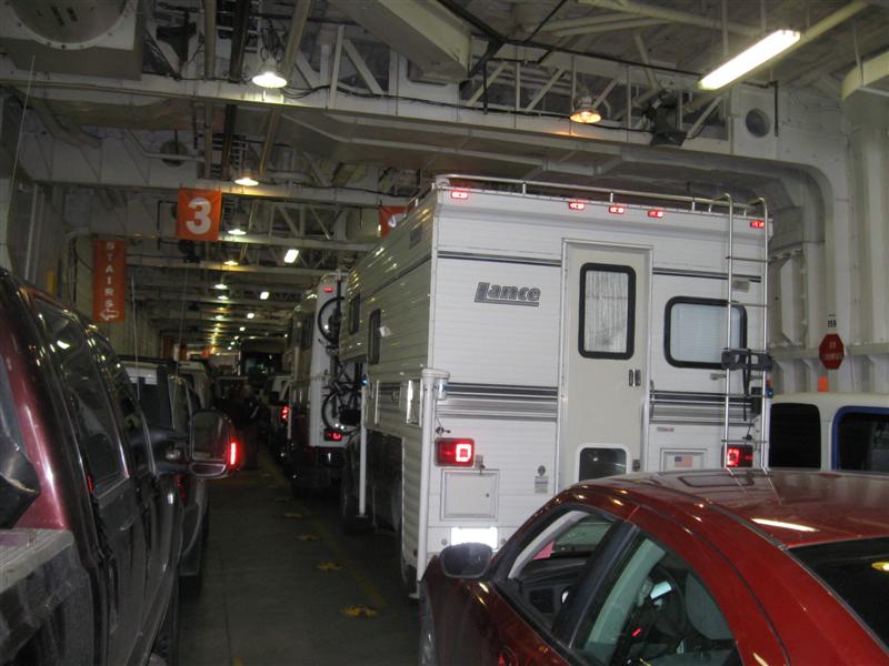
Traveling from Juneau, AK to Prince Rupert, BC on the 352 ft. M/V Taku via the Alaska Marine Highway. |
Floating Garage |
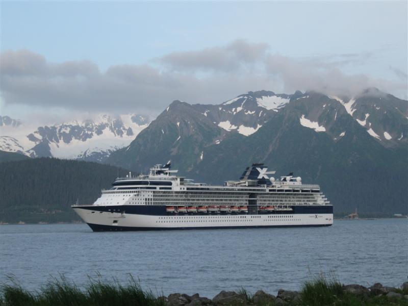
It was a nice, smooth, 44 hr (with 5 stops) ferry ride. Didn't see much but trees and water, plus a few whales at a distance. Got a bit bored, but still glad I took it. Made a lot of progress reading my book. Food better than I expected, and usually very good. Weather cloudy the first day, but turned to sun (yea!!) the second. Made for much better scenery and pictures. Met a couple that lived about 60 mi away from me and had a 2nd house in the very small community of Kake, AK, where they got off. Small world. |
|
|
9/13/12 |
Still in wet Juneau |
[Wildlife Pics by My
Son] |
I'm waiting for my ferry to Prince Rupert, BC on Friday evening. Rain every day here. Boo, hiss. :) |
|
71 |
9/6/12 |
Mendenhall Lake CG (USFS). 5 mi from Juneau,
AK Ferry Landing on Glacier Hwy, Mendenhall Loop Rd
and Montana Creek Rd. 100
ft. |
|
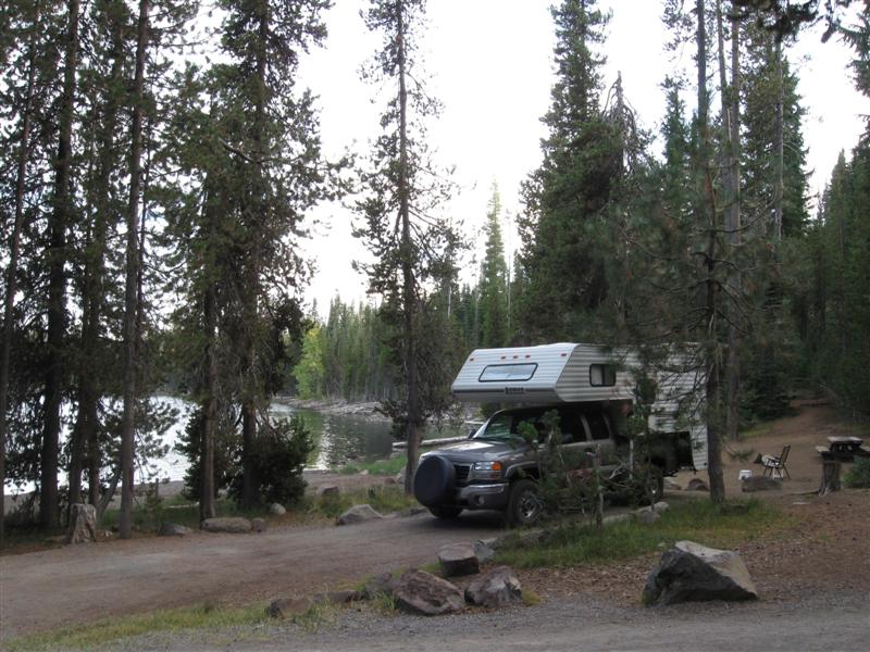
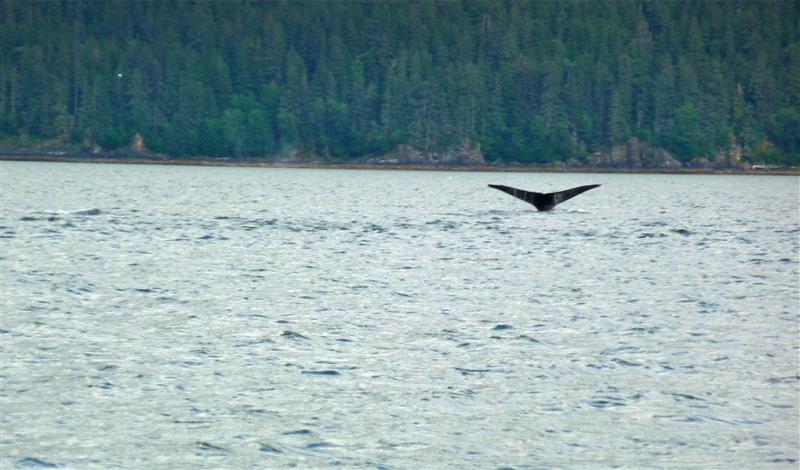
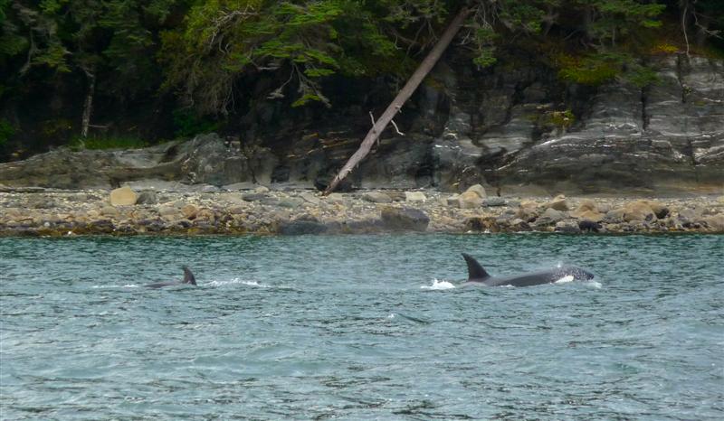
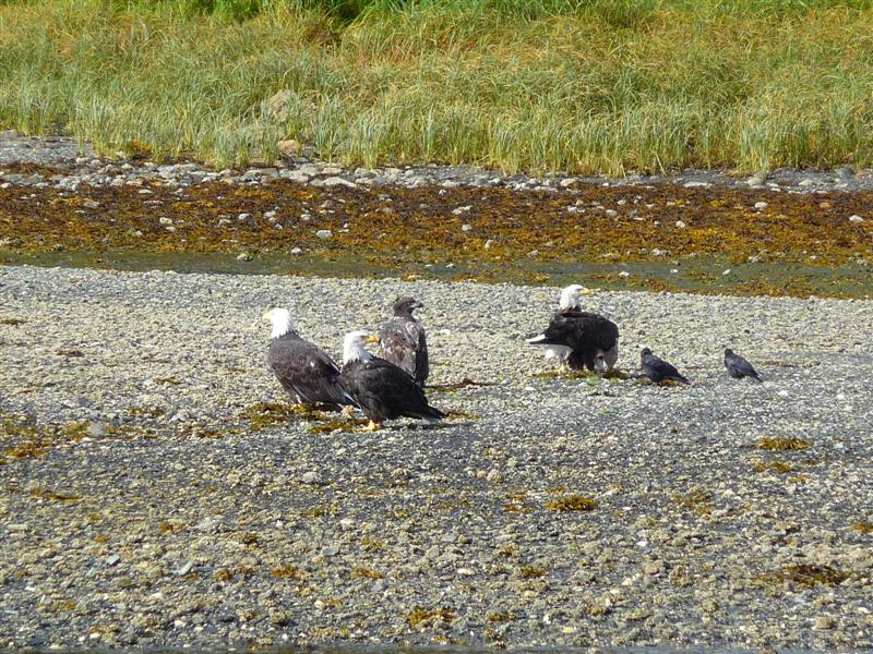
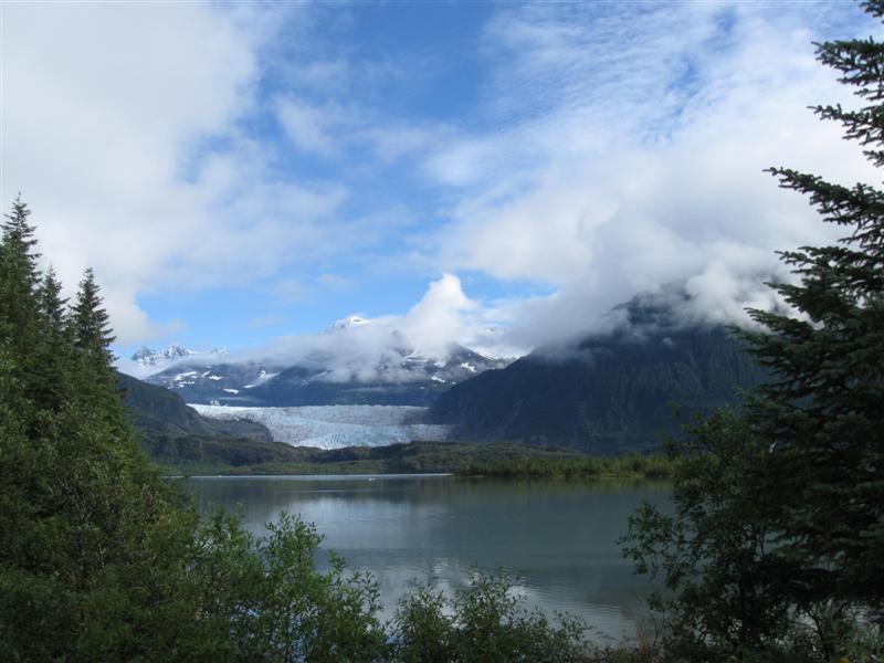
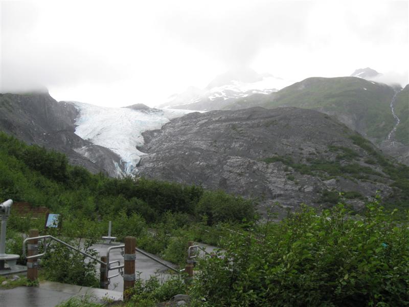
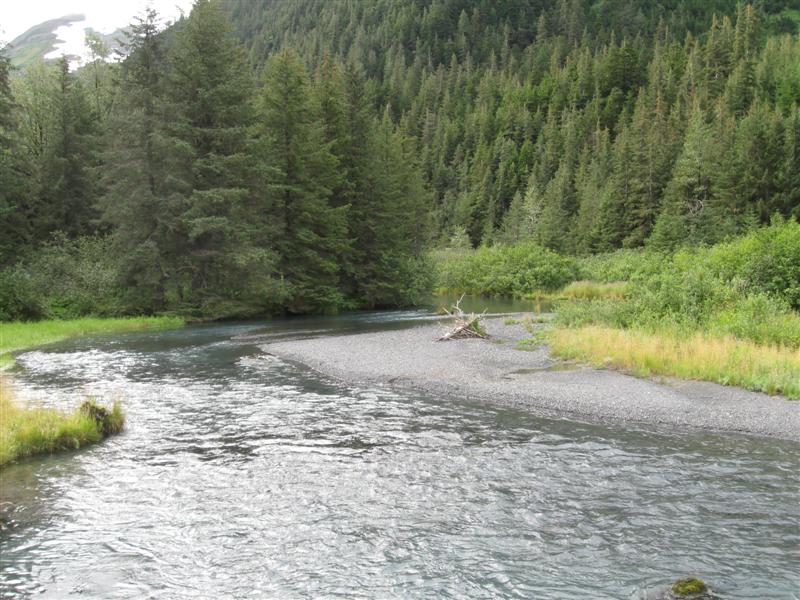
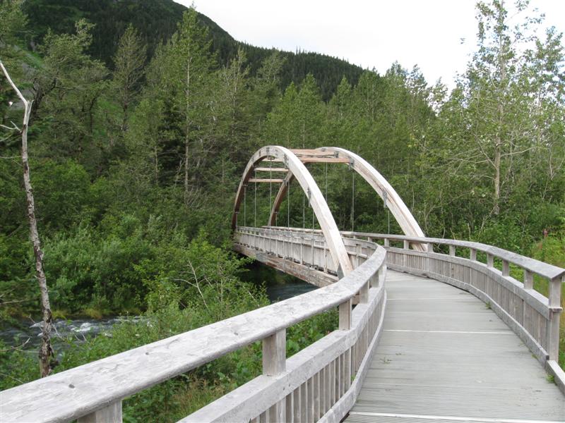
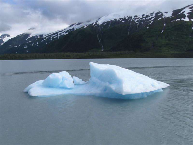
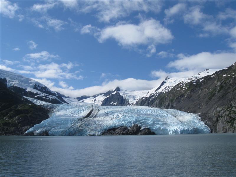
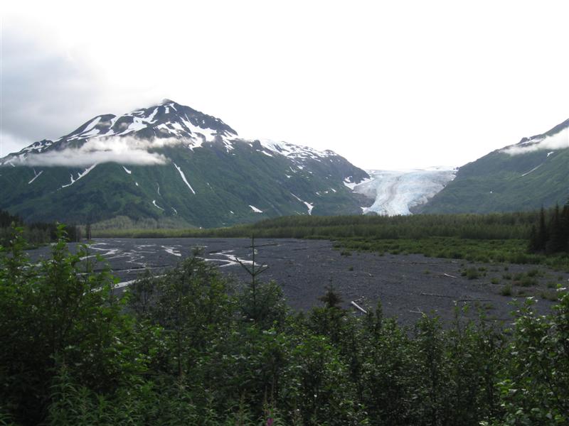
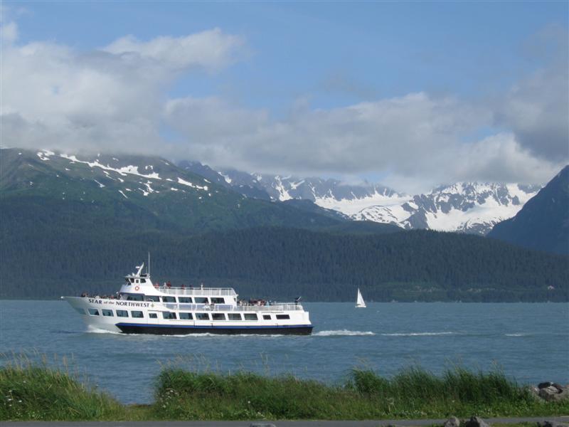
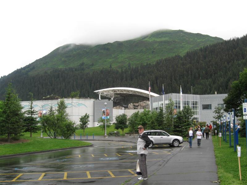
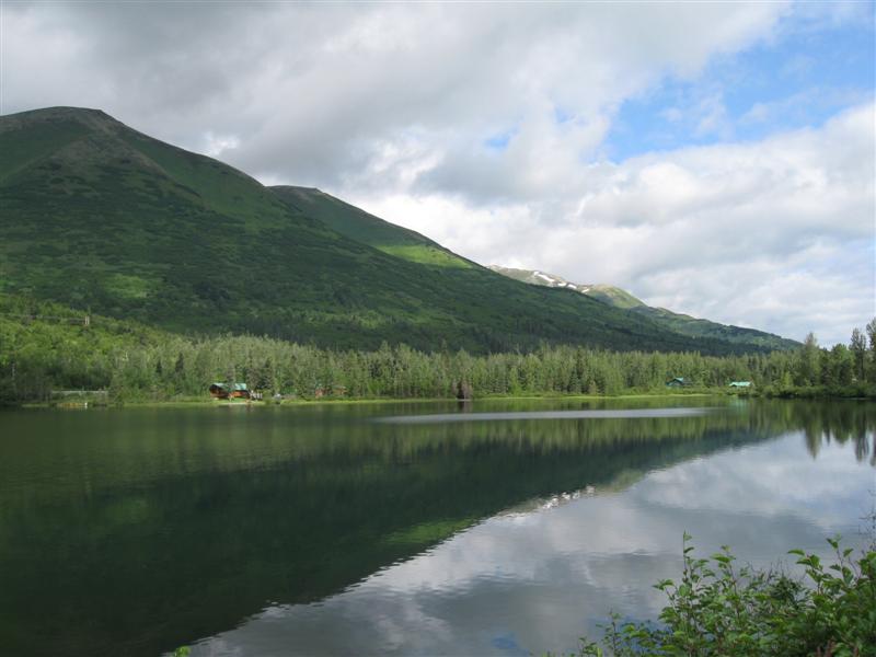
One of the nicest USFS campgrounds you'll find! 69 paved sites in a nice setting of trees, with some of the sites near Mendenhall Lake. Even around 15 RV sites with hookups. Flush toilets and showers in certain locations. Free dump station. Super view of Mendenhall Glacier across the lake. Very nice glacier Visitor Center about 3 mi away. Only $10. My son and I went on a glacier boat tour and a whale watching boat. Both very fun. I liked it when the boat weaved its way through the icebergs to get closer to the glacier (thump, clunk, ....). On the whale tour we saw 2 orcas and several humpbacks. Sure would have been nice to have more sun and less rain, though. Oh well, that's just what it's like in SE Alaska. :) |
|
70 |
9/4/12- |
Chilkoot CG (State). About 10 miles NW
of Haines, AK on Lutak Rd (6 mi past ferry terminal).
100
ft. |
|
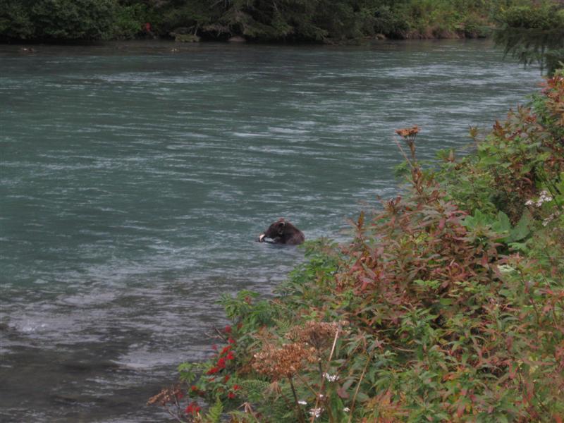
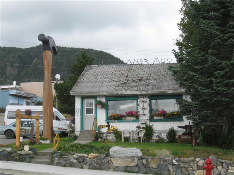
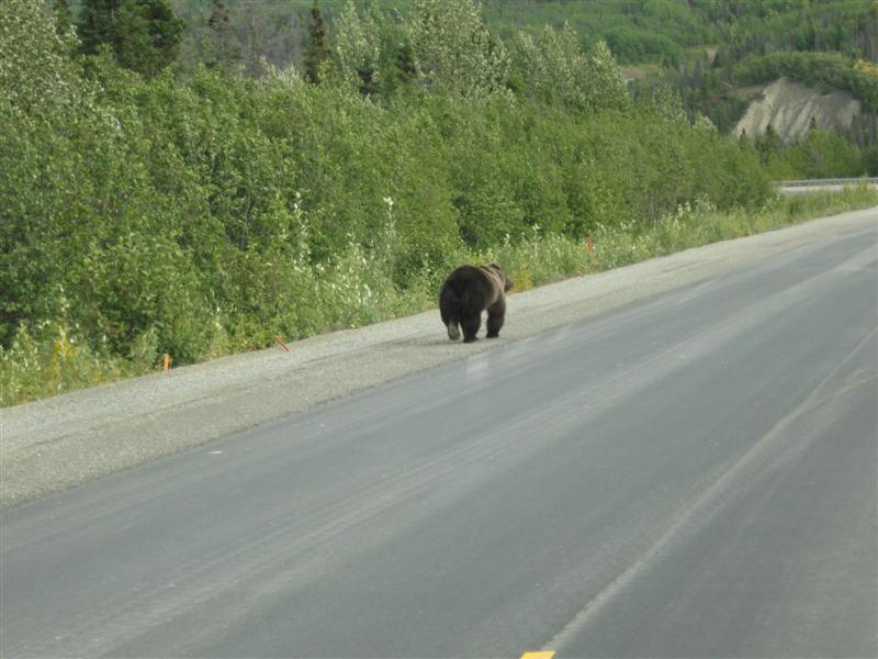
Nice CG with 32 gravel sites along a single road and 2 loops off of it. About 6 of them have a view of the large Chilkoot Lake. Plenty of spruce trees for that woodsy feeling. River out of lake runs along the approach road for a couple of miles and is frequented by grizzly bears during salmon spawning. I saw 2 of them one evening $10. I visited 3 good museums while in Haines. The most unique was the Hammer Museum, with over 1500 hammers on display! Also visited the interesting old buildings from Ft. Seward, built in the early 1900s. |
|
69 |
9/3/12 |
Chilkat CG (State). About 9 mi S of Haines,
AK on (mostly) Mud Bay Rd. Watch for State
Park signs. 150
ft. Warning: Terrible potholes in last mile or so. |
|
32 grass and/or gravel sites among a nice stand of spruce type trees. Good privacy between sites. Very remote and peaceful at night. Boat launch and day use area down the hill, with a super view of the inlet and Rainbow Glacier. Last 1/2 mile of gravel CG approach road has 14% grade. But worse is the pothole laden portion (maybe 1/2 mile) before that. The worst potholed campground road I've seen on this trip. You can't dodge them, so you'll be rockin' and rollin'. $10. |
|
68 |
9/2/12 |
Million Dollar Falls CG (Govt). 54 mi SE of
Haines Junction, YT on Haines Hwy. 2300
ft. |
|
34 gravel sites on level land. Some doubles, some tent. Good privacy between most sites. Most trees are the leafy type. Half mile trail to overlook of the falls. Didn't take it - too cold and windy the morning I left. :) $12. Very nice sunny day today. Every day I continue to see impressive scenery. You'd think I'd get tired of it. But I don't! |
|
67 |
8/31/12- |
Pine Lake CG (Govt). 4 mi NE of Haines Junction,
YT on Alaska Hwy. 2100
ft. |
|
42 gravel sites on sloping land. Very good privacy between most sites, due to spacing and/or vegetation. Plenty of spruce and leafy trees. A few sites have a partial view of the lake. Boat launch and beach nearby. Wow, it's a Labour (Canadian spelling) Day weekend and only about 2/3 of the sites are taken on Sat p.m..??? $12. I intended to stay at Congdon Creek CG, about a 60 mile shorter drive. However, it was closed, due to bear activity I was told. The last 2 days I've been traveling the portion of the Alaska Hwy I missed on my way to AK, due to detouring via Dawson City at Whitehorse. It has a reputation as being some of the roughest road of the whole hwy. Yes, I bounced a bit due to frostheave bumps, but overall it wasn't bad. Just have to drive slower and watch out for potholes. While I was bouncing, my truck odometer crossed 100K miles! |
|
66 |
8/30/12 |
Snag Junction CG (Govt.). 123 mi E of Tok,
AK on Alaska Hwy. 2500
ft. |
|
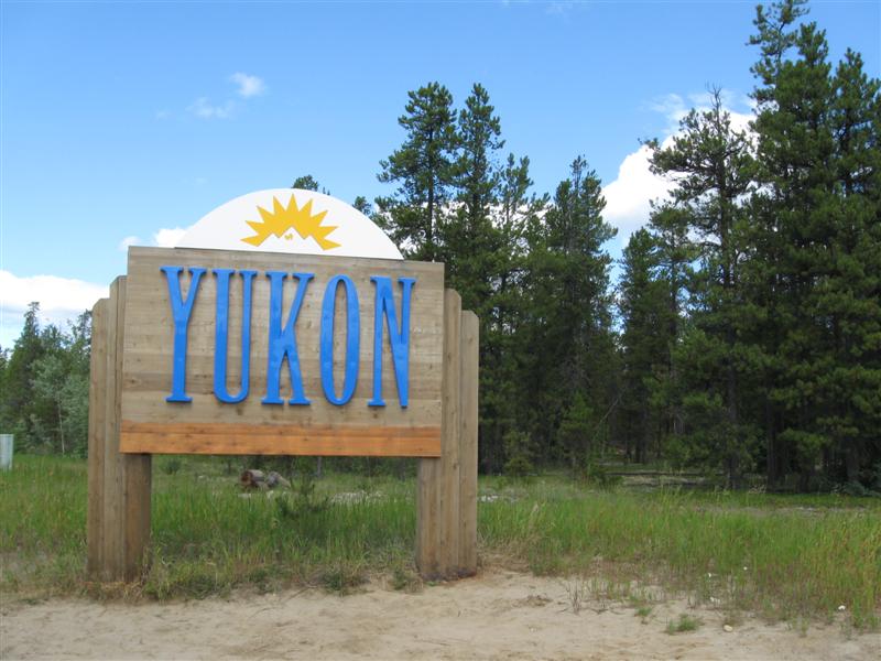
12 gravel sites in a single loop, but on 2 levels. Lower level near a small lake. Over half the sites on the upper level. Mix of spruce and leafy trees. Free firewood (unsplit). A bit of hwy noise. $12. After just over 6 weeks in AK, I'm back in the Yukon, but only for a few days. Can't drive to from Tok, AK to Haines, AK w/o going through YT and BC! |
|
65 |
8/29/12 |
Tok River CG (State). About 5 mi E of
Tok, AK on Alaska Hwy. 1600
ft. |
20 gravel sites on level land, plus 7 tent. Most sites among some spruce trees, but a few out in the open. Muddy Tok River wraps around 2 sides of the CG. Nice bank to put your chairs on and watch it roll by. Some bug activity, though. Very handy to Alaska Hwy travelers, since it's adjacent to it. However, that also obviously produces noise. IMO, its handy location to hwy and also the town of Tok is its main advantage. $15. Had some good food at Fast Eddy's in Tok. RV Village has a nice laundry room. After putting antifreeze in my holding tanks, it only got down to 44F, vs. 20F the previous night. Go figure. |
|
|
64 |
8/28/12 |
Boondocking Site (Not a developed campground) (BLM). 63
mi S of Tok, AK on Tok Cutoff Hwy, then 1.5 mi E on
Nabesna Rd (turn left just after bridge).. 2100
ft. |
|
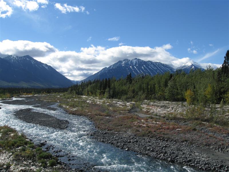
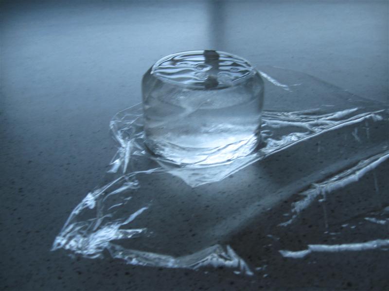
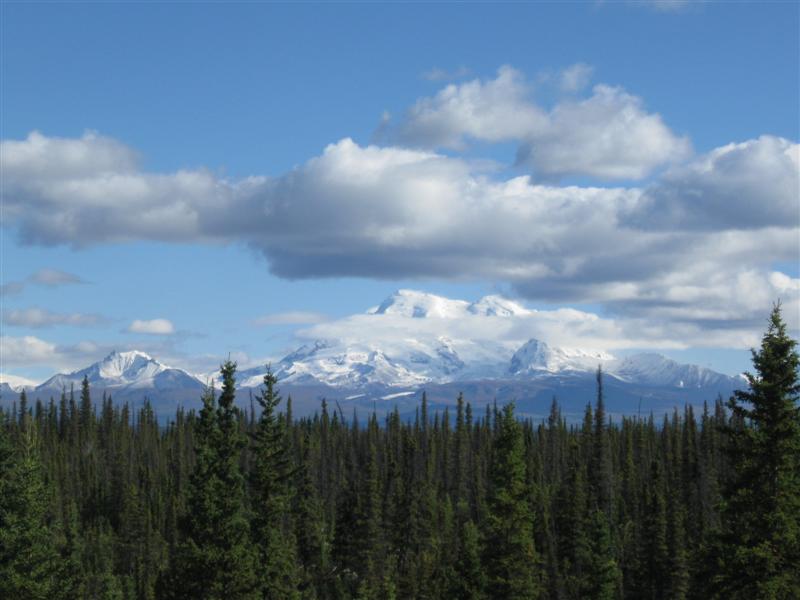
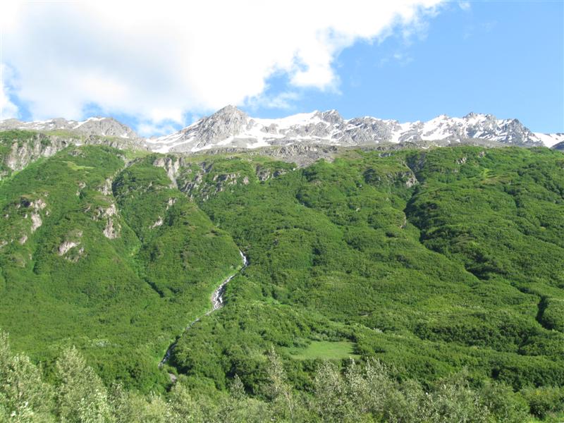
Nice level, small parking area by the Slana River (actually a slough of it). Maybe used by people that are fishing or picnicking. Was actually mentioned in my campground "bible" (Alaskan Camping by Church). No facilities. $0 Was 32F when I went to bed at 10 p.m. and 20F (the low) when I woke up at 7 a.m. This is getting serious, folks! Got to stop in Tok and get some antifreeze for my holding tanks. I put out a small cup of water before I went to bed. It was frozen solid (2 inches thick)! See pic. Yet a bottle of water in the cab of my truck, with about the same volume of water, didn't freeze at all. A couple in their 50s came in after me and camped in a tent. Poor souls. I think in the last week I've seen some of the most beautiful mountain scenery of my trip. My pictures definitely don't do it justice. |
|
63 |
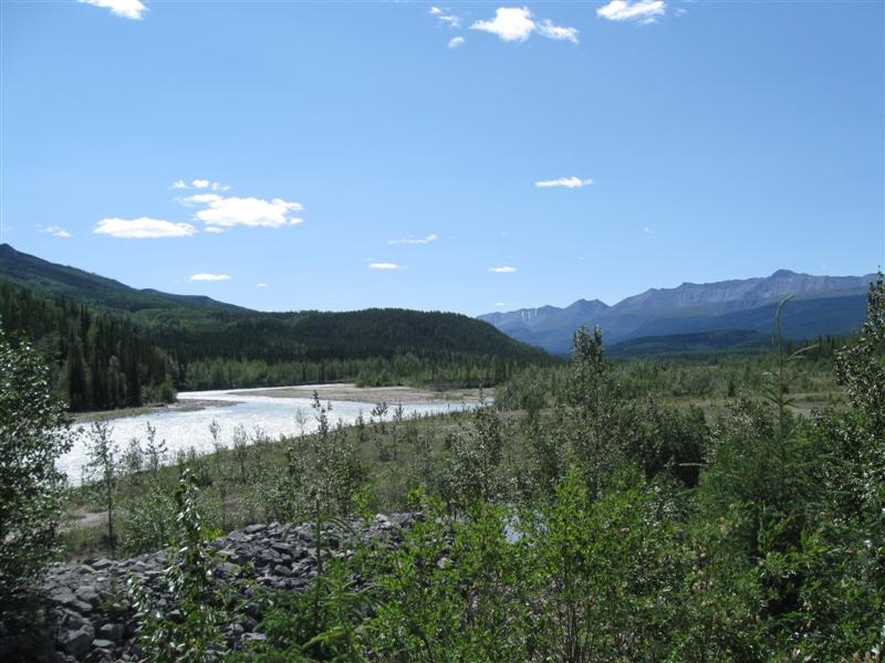
8/27/12 |
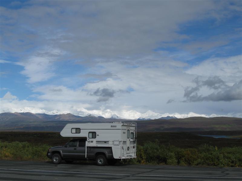
Tangle Lakes CG (BLM). 21 mi W of Paxson, AK
on Denali Hwy. 2900 ft. |
|
Nice CG with 25 gravel sites on level land. Zippo trees for shade. Large lake adjacent to CG, but not visible from most sites. Just past the end of the only paved portion (21 mi) of the 135 mile Denali Hwy. I was only on the paved portion. $12. Got down to 25F at night! |
|
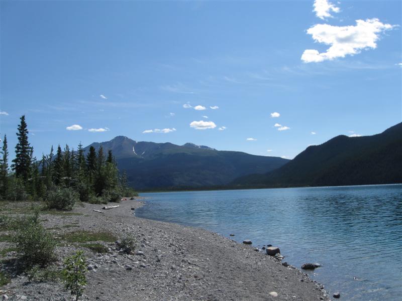
62 |
8/26/12 |
Sourdough Creek CG (BLM). 39 mi S of Paxson,
AK on Richardson Hwy. 1900 ft. |
43 gravel sites on level land, well apart. Limited privacy between sites, due to sparse vegetation. The general area in and around this CG is flat, with permafrost stunted black spruce and small bushes (willows?). Don't expect any shade. Gulkana River, popular with floaters, is accessible from the CG. Launch ramp. $12. Today was cloudy and rain at times. During the night there was heavier rain. Oh boy, I love rain! Not! :) |
|
|
|
8/25/12 |
Same boondocking site as #60 on 8/22/12. |
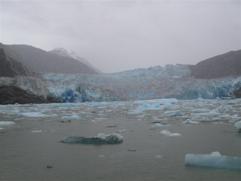
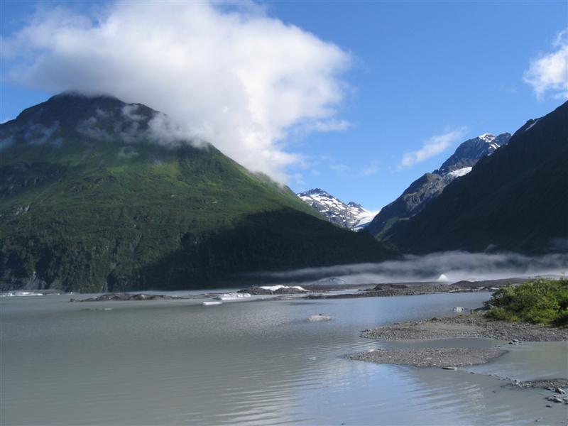
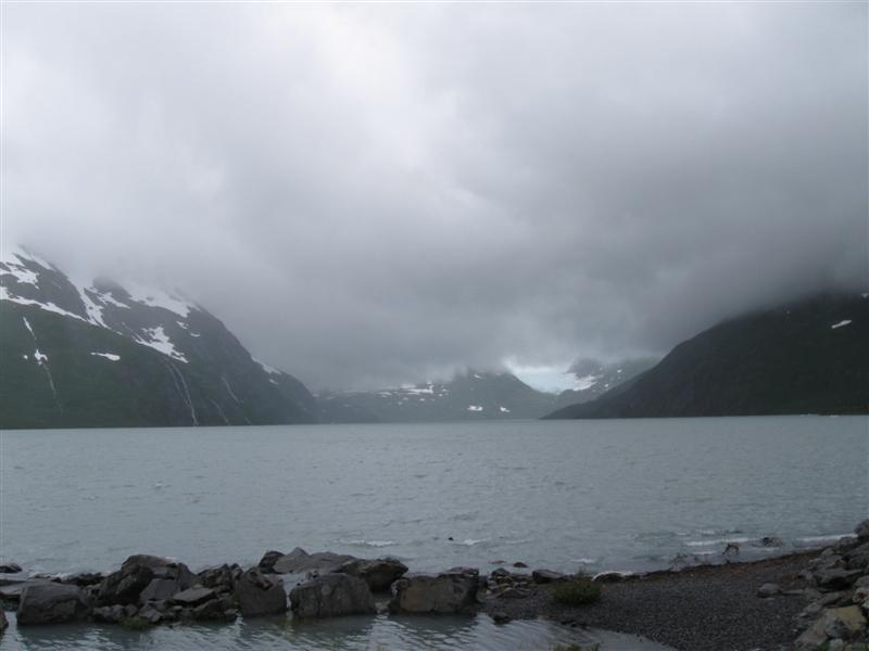
Valdez Glacier
& Lake |
Small campground I had picked out was full, so I continued a few miles up the road to where I knew there would be an open (and free) spot. Two other RVers here when I pulled in and another one later. Hey, this is my secret spot! :) $0 Yikes, down to 29F at night! Where are my longjohns? :) |
|
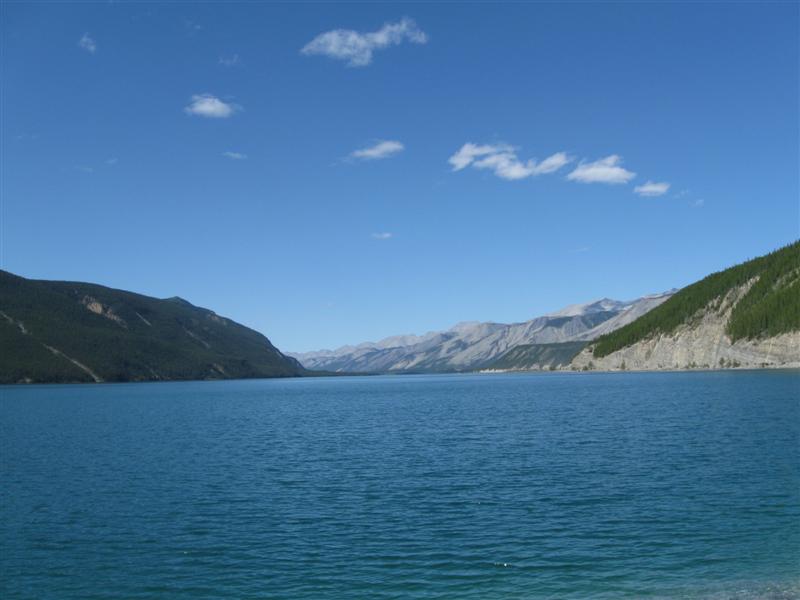
61 |
8/23/12- |
Valdez Glacier CG. About 3.7 mi E of Valdez,
AK on Richardson Hwy, then 2.4 mi NE on Airport
Rd. 50 ft. |
|
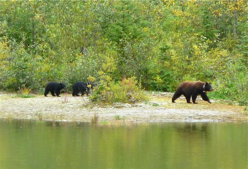
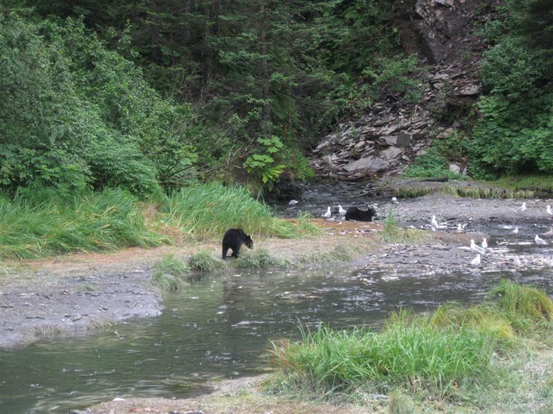
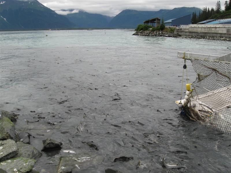
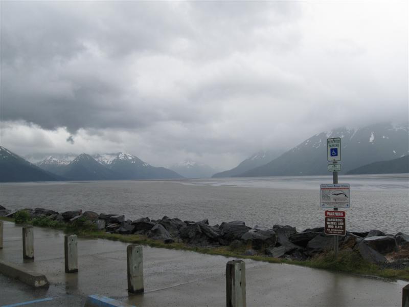
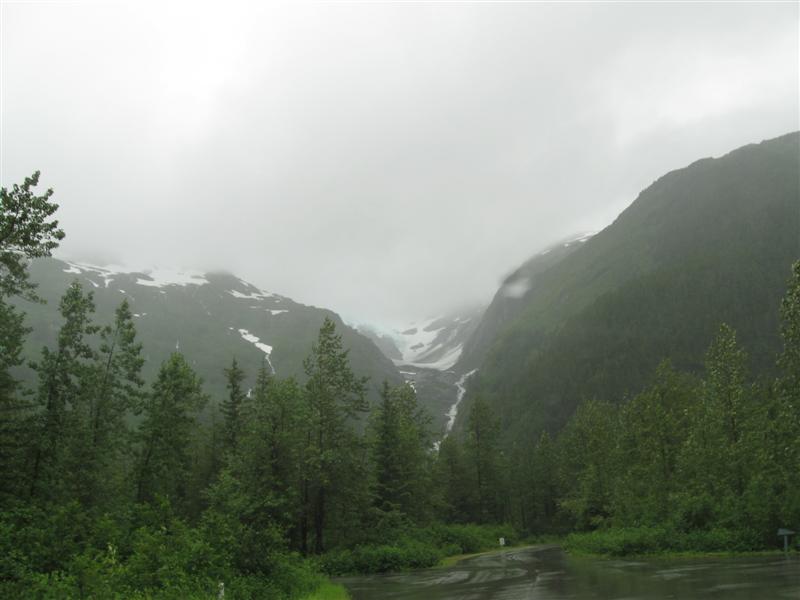
101 dirt (with a bit of gravel) sites with very good privacy, due to heavy vegetation. However, this vegetation also appears to be home to a lot of flying insects Interior road has lots of potholes as do some of the sites. Free dump station. Showers available (free?). A couple of miles up the road is Valdez Glacier, with a lake. Good picture spot. $20 ($15 if military). I enjoyed my visit to Valdez. Went to 2 of the museums, which were excellent. Also saw spawning salmon in a creek, just outside of town. The fish hatchery, across the bay, had thousands of pink salmon returning to their birthplace, completing their life cycle. Near there, I saw a couple of black bears feasting on salmon in a creek. Rainy the first day; cloudy the 2nd; very sunny the 3rd. In baseball, 0.333 is a very good batting average. However, not my idea of a good "sun average". :) |
|
60 |
8/22/12 |
Boondocking Site (Not a developed campground). 84
mi S of Glenallen, AK on Richardson Hwy. 2000
ft. Highest elevation Alaskan campsite, so far. |
|
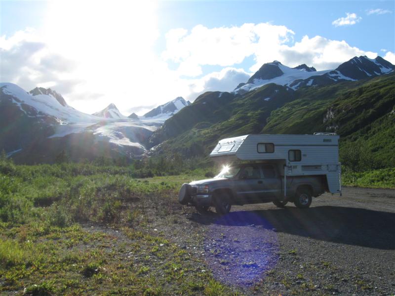
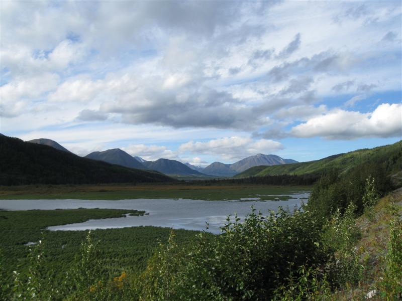
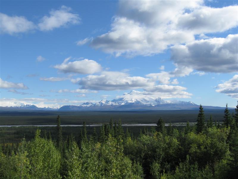
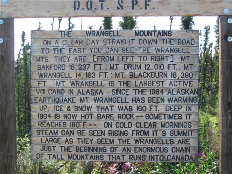
Pulled off the road to take a picture of Worthington Glacier and said "Hey, why not camp here tonight?". A nearby nice straight stretch of dirt is listed on the Google map as being an airstrip. No landings while I was there. :) This is only the second boodocking spot of my AK trip. Thought I'd do more. OK, go ahead and call me a [fill it in yourself]. :) $0. Today was a beautiful sunny day with a few white, puffy clouds. One of the best I've had while in AK. I saw some of the most incredible scenery as I drove the Richardson Hwy from Glenallen to my campsite. Also, the approach to Glenallen on the Glenn Hwy was beautiful with the snow covered, multi-peak Wrangell Mountain Range ahead. |
|
59 |
8/21/12 |
King Mountain CG (State). 29 mi N of Palmer,
AK on Glenn Hwy. 800 ft. |
|
22 gravel sites on slightly sloping land in 2 loops. Small loop sites are closer together. In a light density stand of trees (conifers and leafy). Some leafy trees are already starting to turn yellow. Interior road loaded with pot holes. Next to the large Matanuska River. Wide river bed not full at this time, but still a fast stream of milky, glacial "flour" water flowing on the far side. $15. Mostly sunny day. Yea! Got down to 35F at night. |
|
58 |
8/20/12 |
Black Bear CG (USFS). 48 mi SE of Anchorage,
AK on Seward Hwy, then 4 mi SE on Portage Glacier Rd.
100 ft. |
|
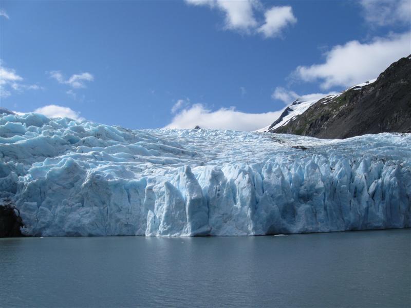
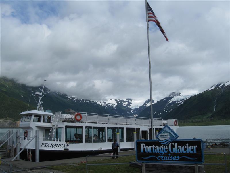
12 gravel sites, on level land, in a medium density stand of trees. Next to a daytime busy hwy (the one to Whittier), so expect some noise then. Nice creek along the backside of the CG. Walking path along the creek in the CG and a boardwalk along it outside the CG. Just down the road is Williwaw CG, where I stayed on 8/1/12. $14. The morning I left, I went to the USFS Visitor Center at Portage Lake/Glacier, where I'd been before. Since it was a partially sunny day (will wonders never cease), I wanted to check on the schedule for the tour boat to the glacier. I got to the dock just a couple of minutes before the noon boat left. It was a really great trip (see pics). |
|
|
8/19/12 |
Same boodocking site as #55 on 8/15/12 |
[ More Homer Pics ] |
While driving today, I got a glimpse of the first bear I've seen from the road in AK. (except in Denali National Park). A big grizzly was on the bank of the Kenai River. Lots of people had stopped, but I couldn't find a safe place to do it. Bummer. |
|
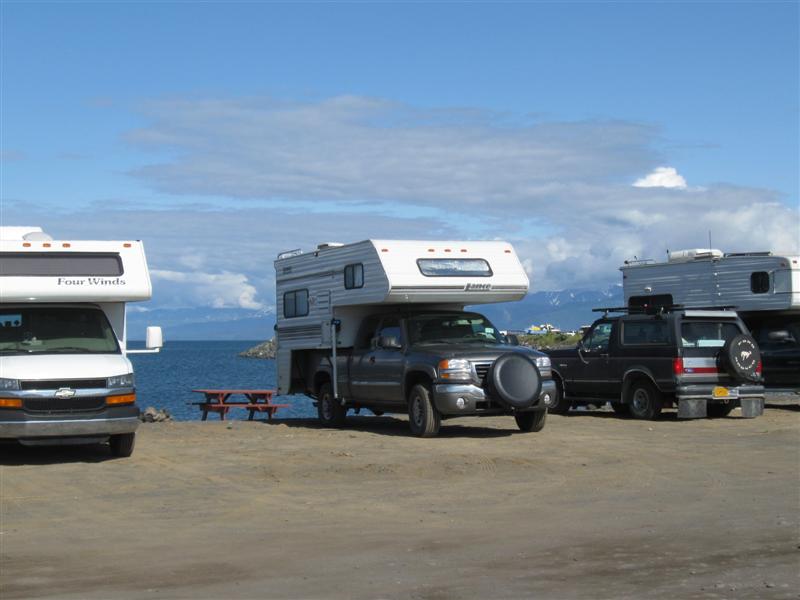
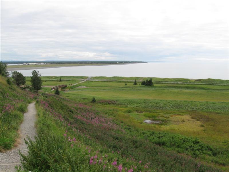
57 |
8/17/18_ |
Homer Spit CG (City) in Homer, AK. 10 ft. |
|
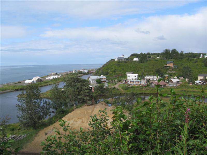
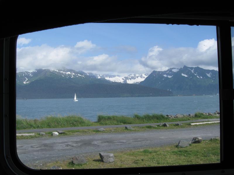
One of 3 city CGs on the spit (one tent only). Around 100 gravel sites here, very close together. Around 15 back onto the water for a nice view (and I got one of therm). Within extended walking distance of some eating places and tourist/marine type businesses. Colorful small boat harbor closer than most others. Sunny weather on Friday, but Saturday afternoon became "stay inside the camper weather" (rainy and cool). $15. On the way here I drove out Anchor Point Rd to the westernmost point one can drive to in North America! It's here. Now I can say "Yep. Been there, done that". :) This is my "turn around" point. Even though I won't be back in CA until early October, all future driving will be towards that destination. Well, maybe with some minor detours. :) Hoping to take the ferry from Haines, AK to Prince Rupert, BC, if space is available.. |
|
56 |
8/16/12 |
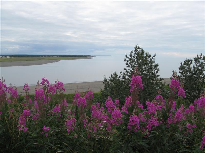
Ninilchik View CG (State). 35 mi N of Homer,
AK on Sterling Hwy. 50 ft. |
|
What a nifty little CG! 14 gravel sites on a bluff overlooking Cook Inlet. Lots of interesting low vegetation. Some sites are doubles. I'm the only one in a double with a fantastic view! Across the inlet are the snow covered mountains & volcanoes of mainland AK. Dump station ($5 for all) and water fill available. $10. |
|
55 |
8/15/12 |
Boondocking Site (Not a developed campground). 100
ft. |
|
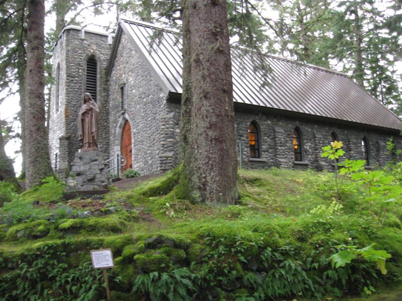
Was talking to a fellow RVer in a laundromat and she told me about this spot. It's a very large, flat gravel area on the outskirts of town. Surprisingly, the next day I remembered the 2 streets involved to get there. Found maybe 20 RVs there, so I figured I had the right spot. A hand painted sign at the entrance has some "rules", so it looked the lot owner knew what was going on. Worked out great and saved enough money for a good breakfast.. $0. Took a sidetrip to nearby Kenai, AK, about 10 miles away. Went to the Visitor Center and also 2 old Russian churches (see pics). |
|
54 |
8/14/12 |
Swiftwater CG (City). In Soldotna, AK. 100 ft. |
|
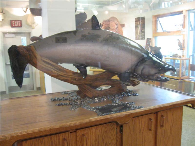
47 dirt sites on level land. Dusty, dirt interior road. The main draw to this CG is it being on the bank of the famous-for-fishing Kenai River, although river visibility is limited from most sites. There are long fishing platforms scattered along the bank, with stairways down to the platforms. A secondary advantage is that it is in town and close to laundry, groceries, etc., which an RVer needs periodically (my reason for staying there). $17. Went to the Soldotna Visitor Center. Several stuffed animal & fish exhibits, including the 97 lb world record king salmon. |
|
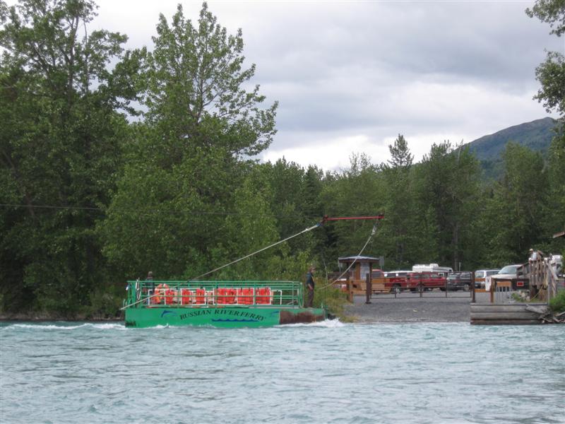
53 |
8/12/12- |
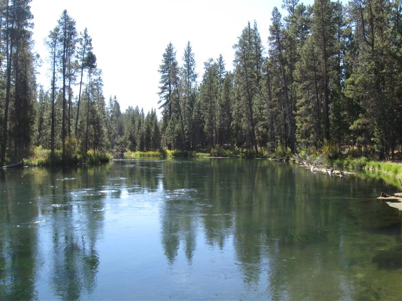
Petersen Lake CG (USFW). 13 mi E of Sterling,
AK on Sterling Hwy, then about 1/2 mi S on dirt road
(watch for small sign on hwy - my GPS didn't find road).
250 ft. |
Primitive CG on a small, pretty lake. Book says 4 sites, but nothing is marked. A few picnic tables in the trees and a vault toilet are around a gravel parking area. Similar CG at Kelly Lake close by, using same road off hwy. After someone left late Sunday afternoon, I got a primo site with my back window looking out on a scenic view of the lake and miles-away mountains. Liked it so much I stayed a 2nd night. Uncle Sam freebie @ $0. |
|
|
52 |
8/11/12 |
Hidden Lake CG (USFW). 10 mi W of Cooper Landing,
AK on Sterling Hwy, then 3.5 mi SW on Skilak Lake Rd,
then 0.5 mi NW on Hidden Lake Rd. 200 ft. |
Very nice CG with 43 paved sites on hilly land in 3 widely separated loops. Excellent privacy due to site spacing and dense screening between sites. Paved interior road. Nice lake, but only a handful of sites have a view. Free dump station, but drinking water fill. A deal at $10. Never seen (that I remember) a U.S. Fish and Wildlife CG before in the lower 48. There are several (mostly just a few sites) in this area. |
|
|
51 |
8/9/12- |
Cooper Creek CG (USFS). 2 mi W of Cooper Landing,
AK on Sterling Hwy. 350 ft.
|
[Oops, forgot site photo] Upper Kenai River |
29 gravel sites (3 tent only), with sites on both
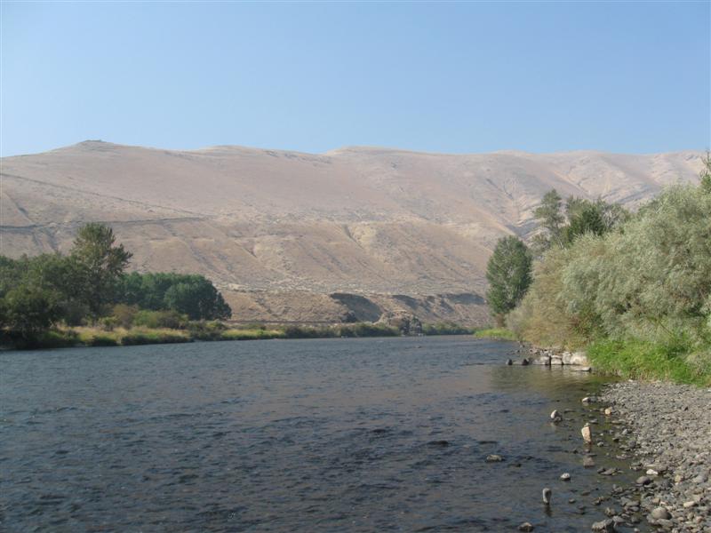
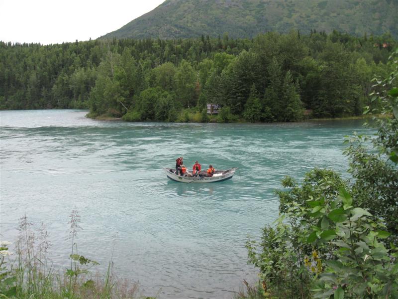
sides of the hwy (7 sites on the river side). Took a 1/2 day float trip on the Upper Kenai River with a guide. Very slow fishing for the first 2/3 of the float then I caught a whopper Dolly Varden! See pic to left. It was a quality-not-quantity day. :) |
|
50 |
8/8/12 |
Crescent Creek CG (USFS). 3.5 mi E of Cooper
Landing, AK, then about 3 mi on dirt Quartz Creek Rd. 450 ft.
|
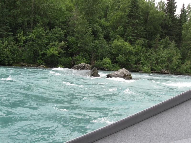
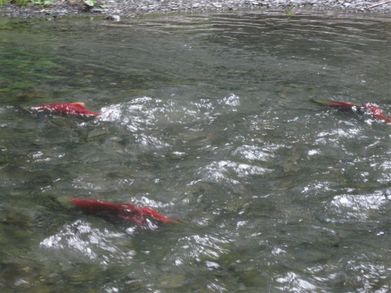
Small CG with 9 gravel sites in a nice stand of trees. Close to main hwy with noticeable truck noise. Next to Quartz Creek, with plenty of spawning red salmon. Several people fishing there. I tried it, expecting to catch Dolly Vardens or Rainbows and hooked up with 5 red salmon, about 20" long! Never got them in with my light tackle. $14. |
|
|
49 |
8/7/12 |
Quartz Creek CG (USFS). 3.5 mi E of Cooper
Landing, AK, then 0.5 mi S on access rd. 400 ft.
|
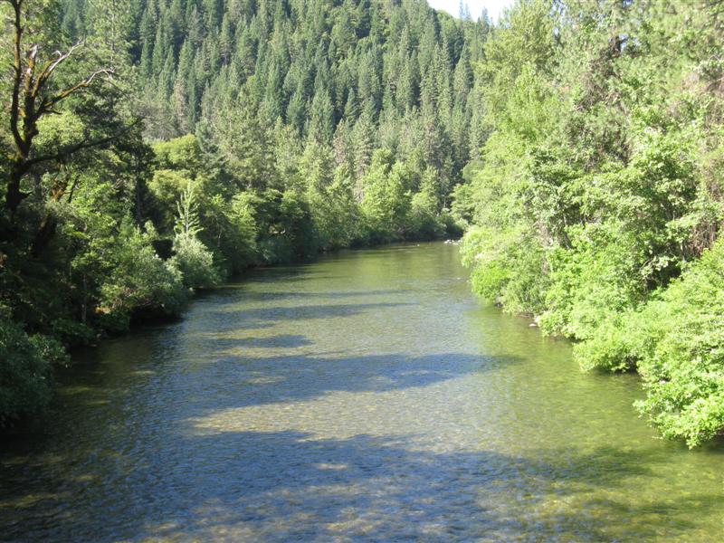
Very nice CG with 45 paved sites in 2 loops on level land beside the W end of Kenai Lake. Only a few lakefront sites, however. Salmon viewing dock nearby on Quartz Creek (w/plenty of red salmon visible). Dump station. Good food at Sunrise Inn on the hwy. $18. |
|
|
48 |
8/6/12 |
Primrose Landing CG (USFS). 16 mi N of Seward,
AK on Seward Hwy, then 1+ mi NW on Primrose Spur Rd.
400
ft. |
|
Nice 8 site CG on the southern tip of beautiful Kenai Lake. It's not visible from the sites, but only the proverbial "hop, skip and a jump" away. Gravel/dirt sites on level ground. RV parking area on the small side for many sites, but the "living" area is big. Primrose Creek runs along one side of the CG. Tall trees, but not especially dense spacing. Far enough away from the hwy that it's hardly noticeable soundwise. $14. Leaving Seward today, I detoured a bit to go to Exit Glacier in the Kenai Fijords National Park. The glacier is up in the mountains, not by the water. Well worth the short 8 mile drive up. |
|
47 |
8/3/12- |
Resurrection CG (City). Seward, AK. 10
ft. |
|
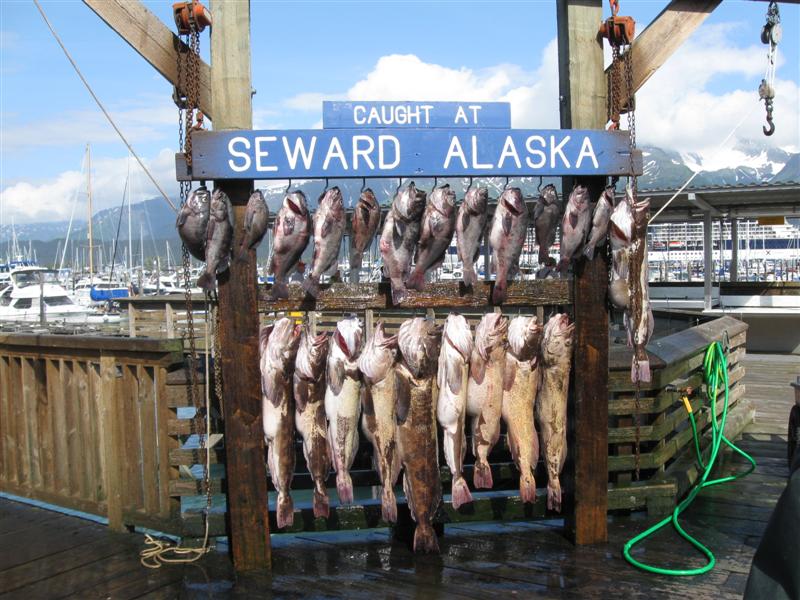
One of the many city "pack 'em in" campgrounds on beautiful Resurrection Bay. Probably around 300 sites in them all. I got a great site that no one could block my view of the bay, mountains and glaciers. Yea! Can watch the many boats go out and back in. $15. I really enjoyed my visit to Seward, partly because of the great campsite view I had. Would have been better w/o the rain on Saturday, though. Easy town to walk around in, plus a free shuttle bus makes the rounds every 30 minutes. Stopped close to where I was camped. Visited the very interesting SeaLife center and saw various fish/birds/mammals. Try Alaska Nellies, near there, for some good food. No, I don't know Nellie. :). |
|
46 |
8/2/12 |
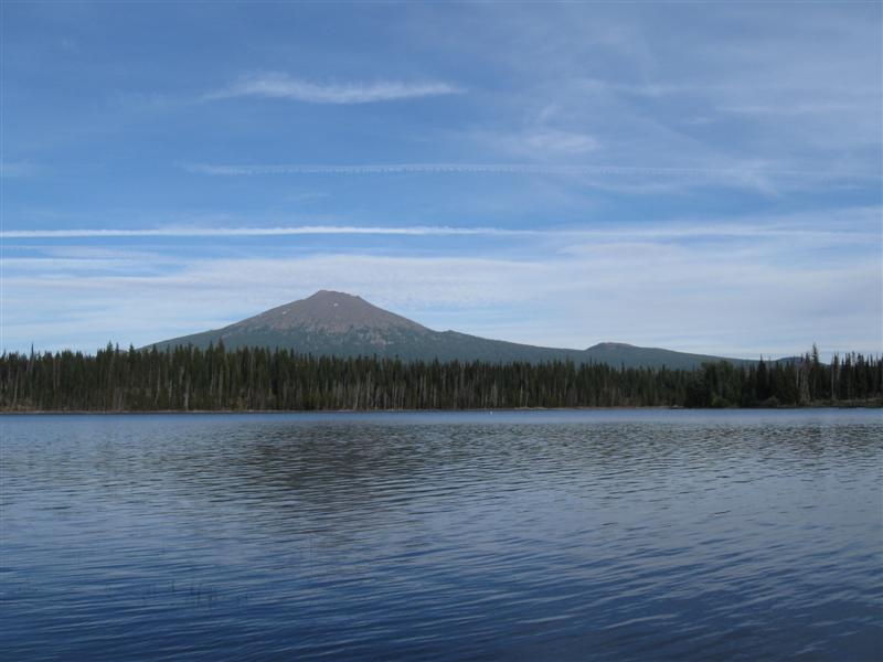
Tenderfoot Creek CG (USFS). 45 mi N of Seward,
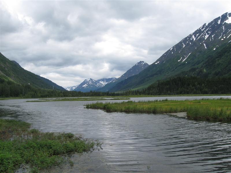
AK on Seward Hwy, then 0.5 mi on access rd. 1200 ft. |
Nice CG on Summit Lake with 35 gravel sites (a few tent only) in one loop on slightly sloping land. A few sites are on the lake with somewhat obstructed views due to vegetation. Small creek along upper side of CG. Some truck noise from hwy across the lake, but also a good lodge restaurant for a "let's not cook tonight dear" meal. $18. Rain jacket continues to get a good workout. Glad I bought it before I left sunny CA. :) |
|
|
45 |
8/1/12 |
Williwaw CG (USFS). 48 mi SE of Anchorage,
AK on Seward Hwy, then 4 mi SE on Portage Glacier Rd.
100 ft. |
Very nice CG on level land with paved interior road and 60 paved sites. Plenty of trees. View of glacier from CG entrance road. Salmon viewing area nearby, although it wasn't time for them yet. $18. Excellent USFS Visitor Center 1 mi further up the road, with great view of Portage Lake and Burns glacier. Interesting exhibits and glacier film. Ever heard of an ice worm? They exist! My rain jacket is getting a good workout! |
|
|
44 |
7/31/12 |
Eagle River CG, Chugach State Park. 11 mi N
of Anchorage, AK on Glenn Hwy. Exit on Eagle River
Loop, then 1.5 mi on access rd. 150 ft. |
Very nice CG with 57 paved sites on sloping land. Paved interior road. Sites well apart. River borders the lower part of the CG. Tent only sites along the river. Quite rainy at night. $15. Passed through Wasilla, AK today, but Sarah wasn't home. So instead I had to find a laundromat. :) |
|
|
43 |
7/30/12 |
Nancy Lake CG (State). 24 mi N on Parks Hwy
from Wasilla, AK (home of you know who). 200 ft.
|
30 gravel sites in 3 loops. Sites close together, on the small side and some not level. Lake nearby, but only slightly visible from one loop. I'm the only one camped in my loop of 10 sites. Yea! $10. Visited the nearby touristy town of Talkeetna today, along with a few hundred bus tourists. |
|
|
42 |
7/29/12 |
Byers Lake CG (Denali State Park). 90 S of Denali
National Park on Parks Hwy. 500 ft. |
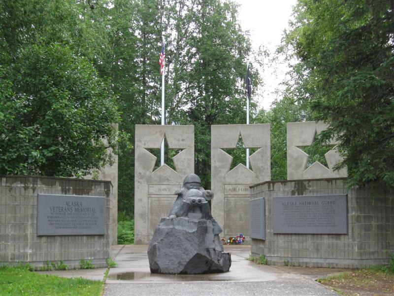
74 gravel sites on level land with plenty of trees. Sites well separated and screened by vegetation. Small lake within walking distance, but not visible from sites. Not many other campers here. $10. Interesting Alaska Veterans Memorial within 1 mile. |
|
|
41 |
7/28/12 |
Anderson Riverside Park CG (City), Anderson, AK 500 ft.
|
|
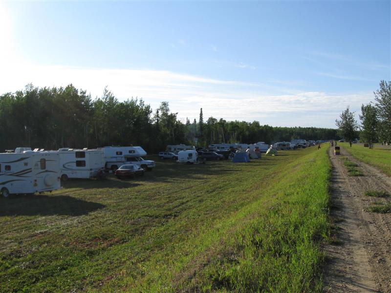
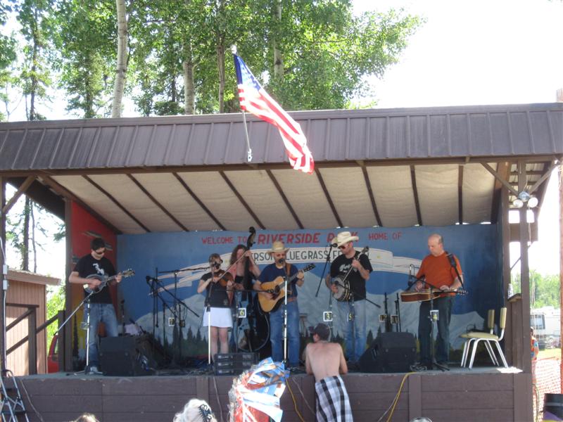
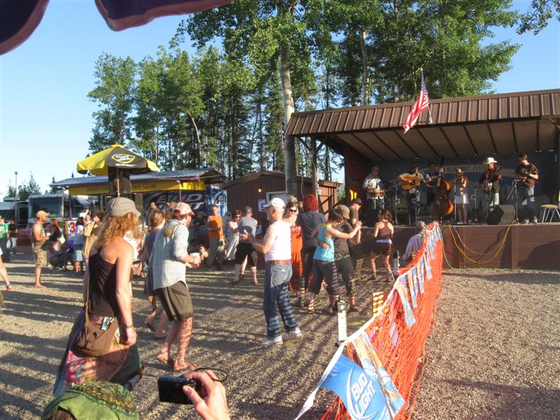
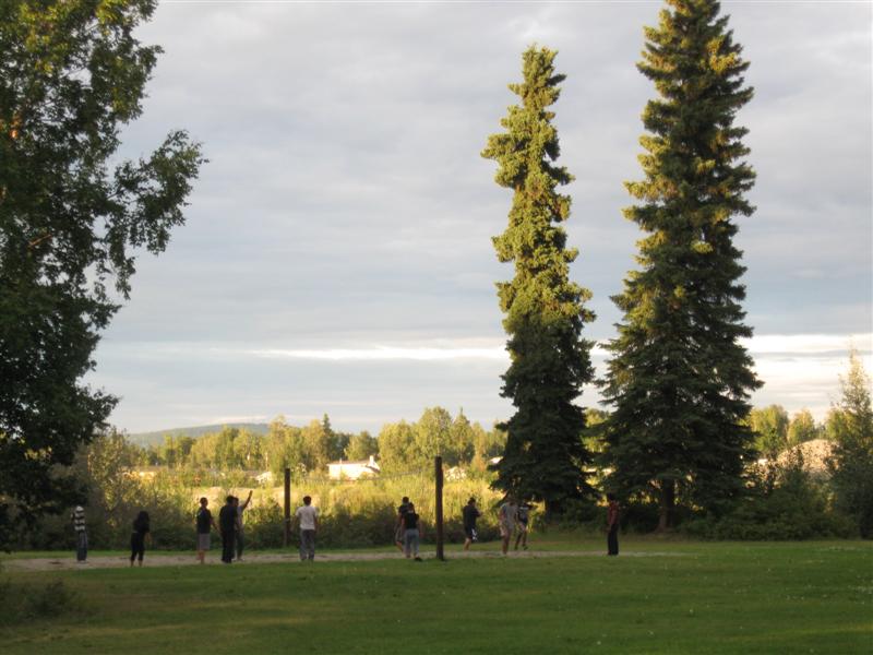
I was here for the 25th annual Anderson Bluegrass Festival (yeehaw). The park has a total of 42 sites in two different areas. However, for the festival people can camp outside those areas in large grassy locations. I chose to get away from the masses and camp beside the interior road. Note: Picture shows I had no neighbors, but some came in later. I enjoyed this small festival with local Alaskan performers. Not all music was bluegrass, but much of it was. The last band on Saturday night was a rock band that played from 10 p.m. to 3 a.m. for the "party crowd"! Unfortunately, this might be the last year of this festival. :( |
|
40 |
7/25/12- |
Riley Creek CG, Denali Natl Park, AK. 1600 ft.
|
|
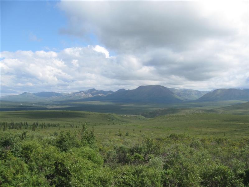
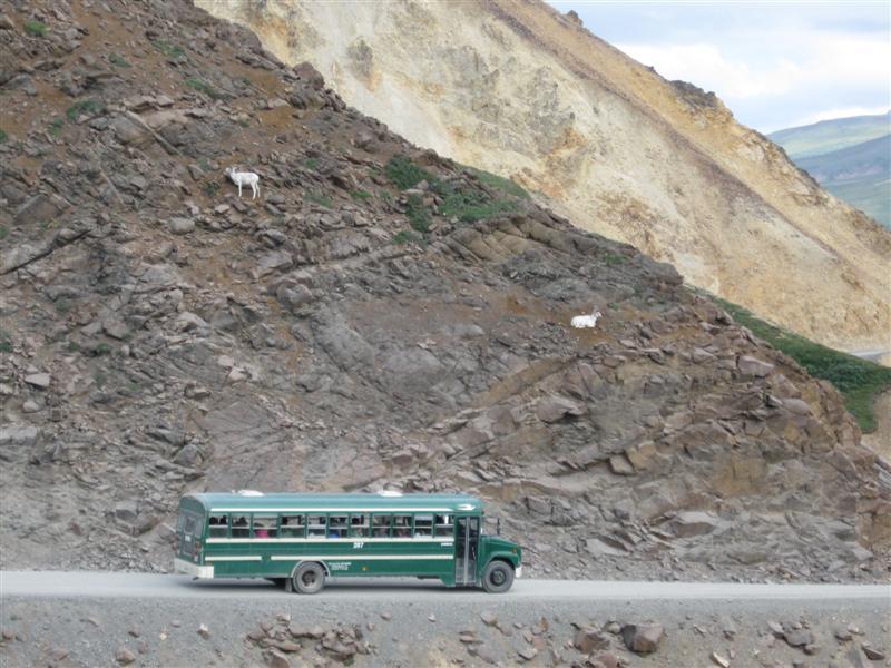
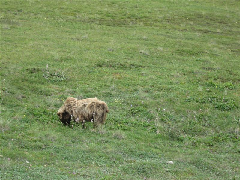
Large CG with 147 sites on level land in 3 loops. Sites spaced well apart with good sceening between sites. Plenty of trees for shade during some of the day. Dump station (free if camping). $22. I really enjoyed my visit to the park. What scenery! Plus, I got to see Mt. McKinley w/o any clouds, thereby qualifying for the elite "30% Club" (only about 30% of the visitors do see it). Also took a 132 miles round trip bus deep into the park and saw quite a bit (but not oodles) of wildlife (caribou, moose, dall sheep and grizzly). That's where the scenery really got spectacular! |
|
39 |
7/24/12 |
Nenana RV Park. In Nenana, AK. 350 ft.
|
|
Nice commercial CG in a very small town. 40 pull-thru gravel sites, close together, separated by a grass strip and tree. Picnic table at each site. Very nice bathroom/shower (free)/laundry building. Friendly owners. $15. Met a fellow musician from Wisconsin and we picked a few tunes together. :) |
|
38 |
7/22/12- |
Chena River CG (State). In Fairbanks, AK. 350
ft. The farthest north (64.84 degrees) I've ever been in my camper (and probably ever will be)! Where's my certificate? :) |
|
Very nice CG in an unusual urban setting. 56 gravel sites in a grove of tall, mature trees near the Chena River. Surrounded by a city environment, so you can walk to get some eats or drive a couple of blocks to a range of shopping. Very convenient for re-supply and domestic duties (laundry, etc.) while camping nearby. $17. |
|
37 |
7/21/12 |
Quartz Lake CG (State). 11 mi NW of Delta Junction,
AK on Alaska Hwy, then 2.5 mi NE on access road. 950
ft. |
|
16 gravel sites (4 closed for refurb) in a loop in a thick stand of trees. Located in a raised area above the treeless gravel parking lot (also used for camping). Good sized lake with several people fishing in boats (for rainbows, I was told). Float plane comes and goes several times. $10. Saw my first moose today! Beside the hwy, way ahead. It ran back in the trees before I got close. |
|
36 |
7/20/12 |
Moon Lake CG (State). 18 mi W of Tok, AK off
Alaska Hwy. 1500 ft. |
|
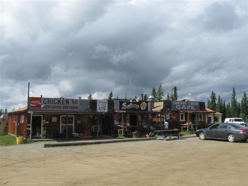
14 gravel sites in 2 separate areas on level land. Plenty of trees. Nice little lake within rock throwing distance. $15. Traveling today I passed through the teeny community of Chicken, AK (on the Taylor Hwy). Legend has it that the miners wanted to called it Ptarmigan (a bird), but couldn't figure out to spell it. Chicken was easier. :) |
|
35 |
7/19/12 |
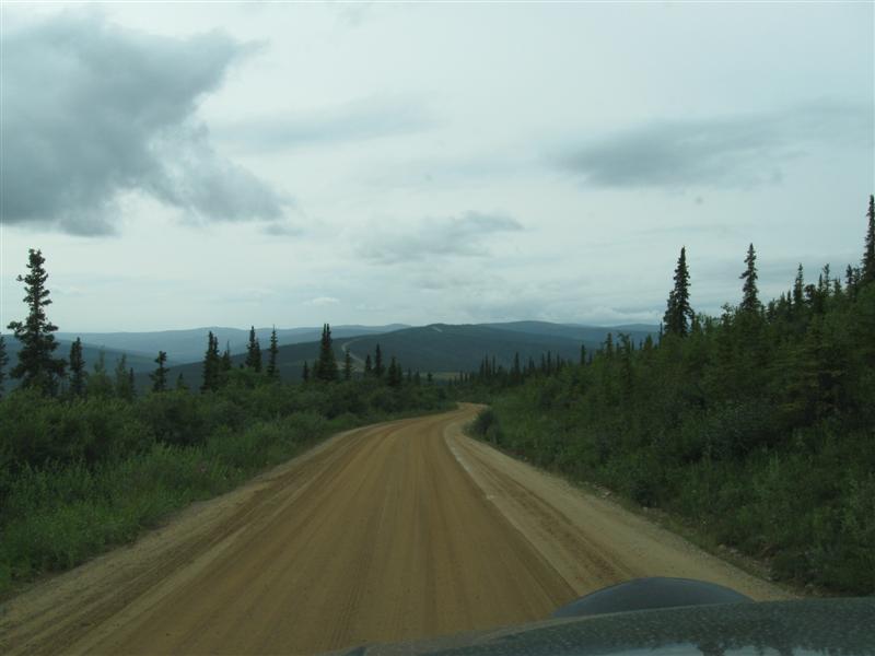
Walker Fork CG (BLM). About 92 mi W of Dawson
City, Yukon via ferry across Yukon River, "Top
of the World" hwy and Taylor hwy. 1800 ft.
I'm in ALASKA, USA!! 3-1/2 weeks and over 3000 miles after leaving Napa, CA I finally made it! Yipee!! :) Now I can put away those $1 Loonies and $2 Toonies for a while. :) |
|
22 sites with moderate screening between them. Most of them are inside the oval road through the CG and oriented perpendicular to it. Small creek alongside. $10. Quite a trip today along the Canadian "Top of the World Hwy" and USA "Taylor Hwy" to get here. Note: "Hwy" is a MAJOR misnomer. Pot holed filled pavement or gravel (better than paved) on the Canadian side. Packed dirt (muddy due to recent rain) on the US side. Quite scenic, though. Just got to take it easy. |
|
34 |
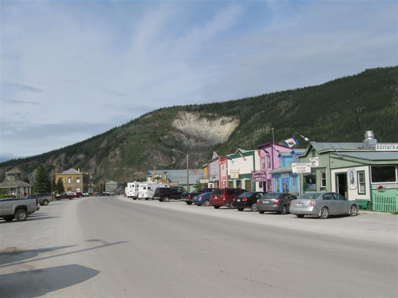
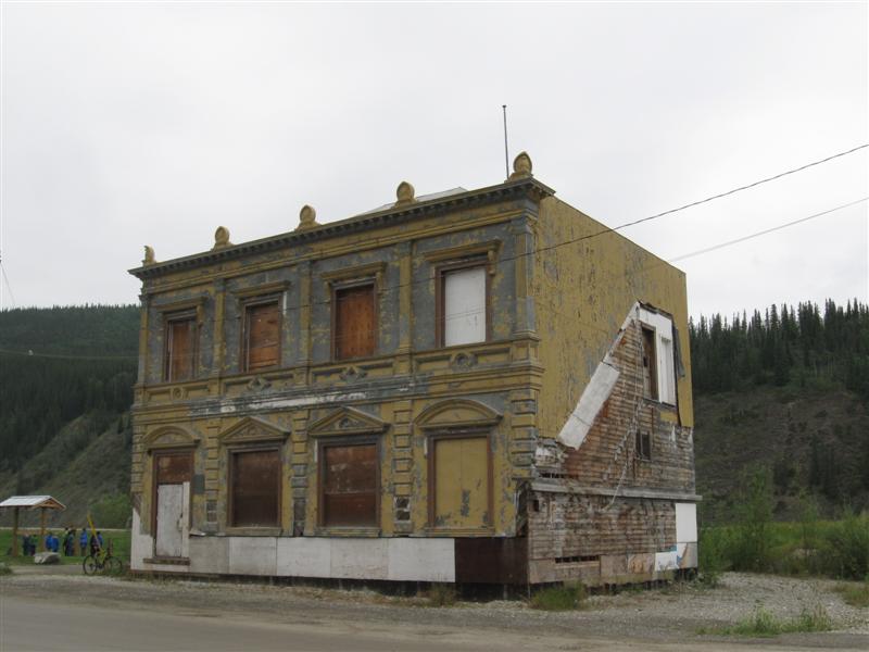
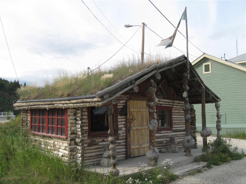
7/18/12 |
Goldrush RV Park. Dawson City, Yukon. 1000
ft. |
|
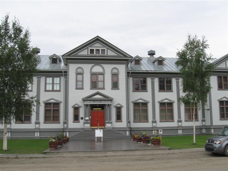
82 sites in a "pack 'em in" environment, which I normally avoid. However, very handy for taking a walking tour of Dawson City and that's why I stayed here. Free dump station and WiFi. $21.50. I enjoyed seeing the old buildings in Dawson; watching the historical films at the Visitor Center; touring the museum in a beautiful old government building. OK, it's a tourist trap, but still fun. :) |
|
33 |
7/17/12 |
Tatchun Creek CG (Govt). 127 mi N of Whitehorse,
Yukon on hwy 1 & hwy 2. 1600 ft. |
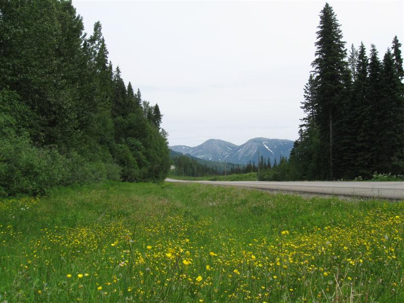
12 gravel spaces with good privacy. Small creek runs beside CG with some sites on it. Lots of truck noise from adjacent hwy. $12. The Yukon River Five Fingers Rapids overlook is about a mile south. Be sure and stop there. Incredible view (see pic). |
|
|
32 |
7/16/12 |
Wolf Creek CG (Govt). 9 mi SE of Whitehorse,
YT on hwy 1. 2200 ft. |
|
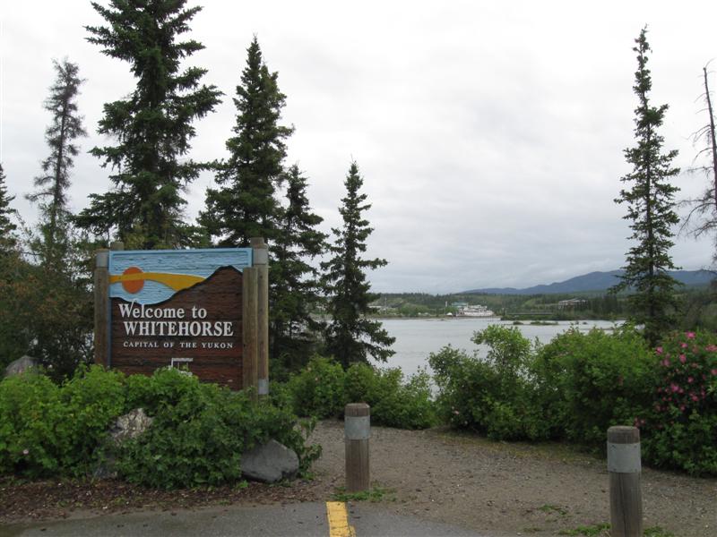
37 gravel sites on level land with a small creek running through the CG. A mixture of conifer and leafy trees. Very convenient for visiting the interesting town of Whitehorse, YT. $12. In Whitehorse I took the self-guided tour of the S.S. Klondike paddlewheeler. Really enjoyed it! I've decided to detour from the Alaska Hwy and take the loop road through Dawson City, YT and Chicken, AK. Be another 120 miles or so, but from what I hear it's worth it. |
|
31 |
7/15/12 |
Teslin Lake CG (Govt). 101 mi SE of Whitehorse,
YT on hwy 1. 2200 ft. |
Roadside CG with 27 gravel sites in 2 sections. Most are back-in sites, but a few are just a wide spot in the CG road. Aspen like trees predominate. Lake about 1/2 mile away, but visible through the trees from sites away from the hwy. $12. |
|
|
30 |
7/14/12 |
Watson Lake CG (Govt). 2.5 mi W of Watson Lake,
YT on hwy 1, then 3+ mi N on 2 different, sometimes
rough, dirt roads (watch signs). 2200 ft. |
|
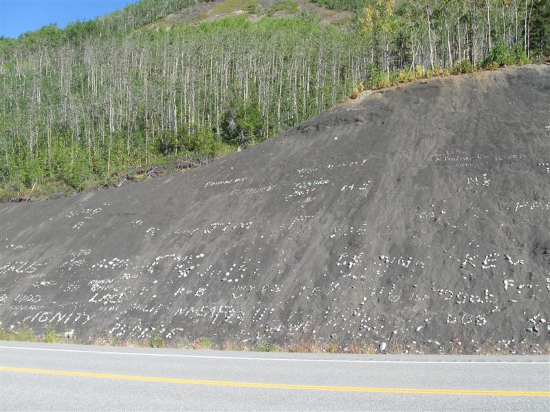
55 gravel sites on level land in 2 loops. Many very deep. In my loop, the lake is slightly visible through the trees at some sites. Not a far walk, though. Free firewood. Quite a few mosquitoes. $12. Today I saw 3 black bears at different spots. Also, 2 groups of bison. The Watson Lake Sign Post Forest now has around 17,000 signs. I should have brought one. :) |
|
29 |
7/12/12- |
Strawberry Flats CG, Muncho Lake Prov Pk. 150
mi W of Ft. Nelson, BC on hwy 97. 2700 ft. |
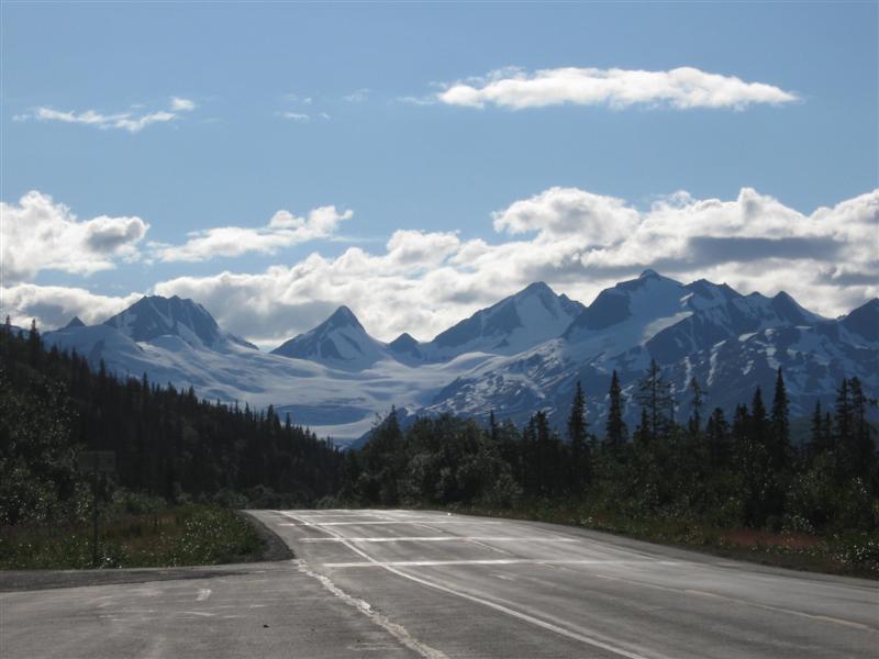
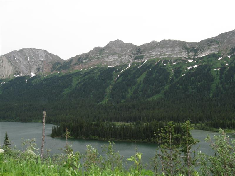
15 level, gravel sites on the edge of a long, beautiful lake. Moderate screening between sites. Otherwise, not much in the way of trees.. Sites are in 2 well separated areas on the same CG road. Tree covered mountains across the lake. Some hwy noise. I lucked and arrived just as someone moved out of a primo, lakeside site! Decided to stay 2 nights to take a "bye" on driving for a day. Another CG (MacDonald) further down the lake. $16. Today's drive was over the highest point of the Alaska Hwy at 4250 ft. Beautiful scenery on the drive. Saw a bighorn sheep on the roadside! |
|
|
28 |
7/11/12 |
Tetsa River Regional Park (gov). About 60 mi
W of Ft. Nelson, BC on hwy 97, then 1+ mi S on unpaved
road (watch for signs at various turns). 2200 ft. |
|
25 gravel sites on level land in 2 loops. Sites fairly close together and only moderate vegetation screens between them. Alongside the Tetsa River, with about 1/2 the sites on the edge of the river bed. However, the flowing water is a short walk across the gravel bar. Difficult river access except at trail near camp host site. Very quiet at night. I like it! $17. Down to 33F at night. |
|
27 |
7/10/12 |
Buckinghorse River Prov Pk CG. 127 mi NW of
Ft. St. John, BC on hwy 97. 3200 ft. |
33 gravel sites on level land in 2 separate areas. Sites are at the edge of a large gravel area and back up to the trees. Picnic table and fire ring at each. No privacy between sites and they are very close together (around 30 ft). If you have a neighbor, you'll get to know them well (for better or worse). Small Buckinghorse River a short distance through the bushes. Slight hwy noise. $16 (same as much nicer PP CGs). The drive today was rather frustrating with lots of trucks slowing down significantly on the frequent grades. Passed through the community of "Wonowon" at Mile 101 (get it?). :) |
|
|
26 |
7/9/12 |
Charlie Lake Prov Pk CG. 52 mi NW of Dawson
Creek, BC on hwy 97. 2600 ft. |
58 large, well separated, gravel sites on sloping land in a thick grove of tall, leafy trees (alders?). All sites in a single loop. Entrance just off the hwy, so there is a bit of noise, but not bad. 1+ mile trail to the lake (didn't take it). $16. |
|
|
25 |
7/8/12 |
Mile 0 CG (City) In Dawson Creek, BC.
2200 ft. |
|
78 gravel sites on slightly sloping land, close together. Minimal trees. Free showers and dump station. Do your laundry here for much less than laundromat in town. Swimming lake a short walk. Almost full due to classic car show this weekend. I don't usually stay at this type of CG, but I wanted to explore Dawson Creek. Temp was 88F the afternoon I left. A bit warm, eh? $32 (w/water & 20 amp). Watched the PBS movie of the building of the Alaska Hwy downtown at the Alaska Highway House (Chamber of Commerce). Incredible feat in 9 months in horrible working conditions. They all deserve a medal! |
|
24 |
7/7/12 |
Moberly Lake Prov Pk CG. 12 mi N on hwy
29 from Chetwynd, BC, then 2 mi W on Moberly Lake Rd.
2300 ft. |
|
109 gravel sites, well separated for good privacy. Many sites very large and deep. Moderate density trees, so some sites get plenty of sun. Seems there are more "leafy" type trees here than the last couple of CGs. Only a handfull of of lakeview sites, but it's not a far walk. $16. Saw my first bear for the trip! It ran across the road about 100 yds in from of me. Later at a rest stop a smaller one came out of the bushes and ambled across the road (see picture). |
|
23 |
7/6/12 |
Whiskers Pt Prov Pk CG. 80 mi N of Prince George,
BC on hwy 97. 1800 ft. |
69 gravel sites on MacLeod Lake. Some sites are lakeside. Trees not as dense or tall as last 2 stops, so CG has a slightly more open feel. My first choice CG (Crooked River) was full when I arrived about 4:30. Took about an hour to get here and got one of the last 2 or 3 sites. Whew! $16. Stopped in Prince George for lunch. Was surprised how big it is (85K population.). |
|
|
22 |
7/5/12 |
Ten Mile Lake Prov Pk CG. About 7 mi NE of
Quesnel, BC on hwy 97. 2300 ft. This is the furthest north I've been in my camper! However, that record will be broken almost daily until I get to Fairbanks, AK! |
|
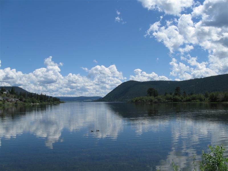
Very nice CG with 96 gravel sites in 2 separate campgrounds. I'm in the "Lakeside" one, with more trees. The "Touring" one is closer to the hwy. Sites spaced well apart and many are very large and long. Plenty of trees. $21. The drive today was through some very beautiful country. Hillsides covered with trees, green pastures and meadows, lakes and rivers. Was hard to find a place to stop for a picture, unfortunately. Stopped in Williams Lake for lunch. Nice town in a beautiful setting. |
|
21 |
7/4/12 |
Lac La Hache Prov Pk CG. 25 mi NW of 100 Mile House,
BC on hwy 97. 2600 ft. |
|
Nice CG with 83 gravel sites, spaced well apart, on sloping land. Some sites right next to the busy hwy. However, there are quieter sites up the hill and back in the trees. Plenty of trees for shade. Lakeside day use facilities are across the road. $16. |
|
20 |
7/3/12 |
Goldpan Prov Pk CG. 18 mi E of Lytton, BC on
hwy 1. 600 ft. |
14 paved sites right alongside the mighty full and fast Thompson River. Also right alongside the mighty noisy hwy 1. Railroad tracks across the river and the other side of the hwy with frequent trains. So, nice views of the river, but not exactly peaceful. I got somewhat used to it, though, as I watched the river flow by (and sipped my cocktail). $16. Skihist Prov Pk, south 12 miles on hwy 1, has less noise a park employee told me. |
|
|
19 |
7/2/12 |
Vedder River CG (Municipal?). Take Exit 119
near Chilliwack, BC for 5.5 mi S, then right on Gleisbrecht
Rd for 0.5 mi. 100 ft. |
Very large CG with 195 sites. Unusual layout with some sites occupied with trailers that appear to be used fulltime, or at least during the summer. Most other sites are very primitive on grass or gravel with only a picnic table. Vedder River flows along one side of the CG. Wide range of facitlities available: laundry, showers, playground, dump station, etc. $28. Rained a lot at night, eh? |
|
|
18 |
7/1/12 |
Bay View State Park CG. About 7 mi W of Burlington,
WA via Josh Wilson Rd. 100 ft. |
76 sites on various surfaces (gravel/grass/dirt). Sites very close together, but some privacy from bushes between sites. Plenty of trees & bushes for shade in most sites. Just across the road from the bay, but can't see it from most sites. I lucked out and got the last site arriving in late afternoon. Lots of Canadians from BC were camped there to celebrate Canada Day. $22 Probably the last night camping in the "Lower 48" for 2-1/2 months. |
|
|
17 |
6/29/12- |
Iron Creek CG (USFS). About 10 mi S of Randle,
WA via hwy 131 and NF25. 1200 ft. |
|
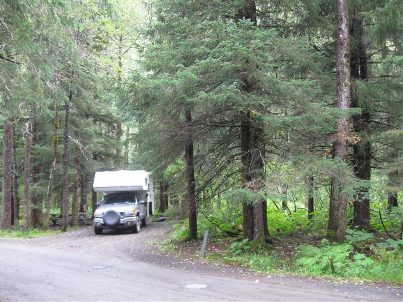
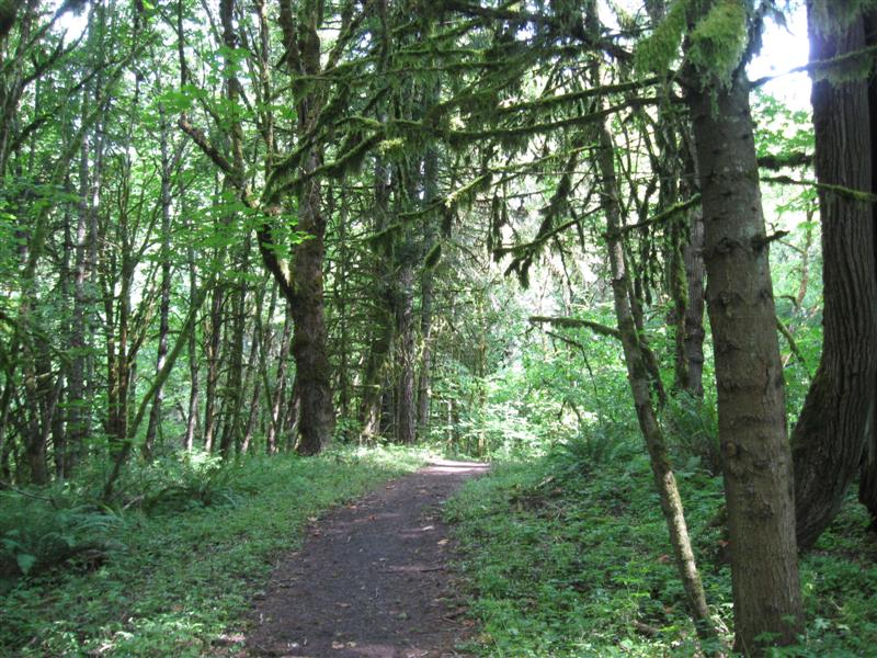
A very large CG for USFS. 98 paved sites (some "doubles") on level land in 4 loops. Due to the dense, gigantic trees and rainforest vegetation you don't see more than 3 or so other sites from yours. Feels like a much smaller CG. Cispus River flows along one side of the CG. Nice 1-1/4 mile loop trail around the CG and , partially, along the river. Info board says some trees in the CG are over 600 years old! I arrived around 1:30 on Friday and hardly anyone else is here. Maybe 10 sites occupied, but some reserved signs up for the weekend. Rained some. $20. |
|
16 |
6/28/12 |
Seaquest State Park CG. About 5.5 mi E of Castle
Rock, WA on hwy 504. 500 ft. |
76 gravel sites on sloping land with very tall trees and rainforest type vegetation. Also, 16 "RV Loop" sites I never saw what they looked like. Don't plan on getting any sun at your site. The trees eat it all up. $22. The day I left I visited the Mt. St. Helens Visitors Center, just across the road from the park. Watched a short movie on the eruption. Both amazing and scary. What power! |
|
|
15 |
6/27/12 |
Champoeg State Park CG. 12 mi S of Tualatin, OR
on I5 take Exit 278 and go W on various roads for about
7 mi. 100 ft. |
Wow, this park is beautiful! Filled with tall trees and grass. CG is in 2 well separated loops. 78 paved sites on level land. Loop A has tall, mature trees for plenty of shade. Loop B has fewer and much smaller trees for little shade. Sites generally close together. Yurts and cabins also available. Several miles of hiking/biking trails. Wide Willamette River borders the park on one side. Interesting Visitor Center. One of the nicest places I've stayed. $24. |
|
|
14 |
6/26/12 |
Amacher Park CG (County). About 5 mi N of Roseburg,
OR off I5. 400 ft. |
Nice, small CG within a larger park with 21 paved sites, most with hookups. Lots of grass and trees, but minimal shade at most sites. N Umpqua River alongside. However, a major negative is that it is right next to the I5 freeway. Very noisy, but tolerable at night with reduced traffic and in my camper. I got the site furthest away, but that's only a couple of hundred yards. $15 w/o hookups, $23 with. |
|
|
13 |
6/25/12 |
Sims Flat CG (USFS). 40 mi N of Redding, CA
on I5, then 1 mi E on Sims Rd. 1700 ft. |
19 paved or gravel sites on level land among many tall trees. Plenty of bushes for good site privacy. The very scenic upper Sacramento River is a short walk. I5 is close, but minimal noise (hardly noticeable in my camper). Train track just across the river; fortunately much less traffic than I5. :) Small remnants of old lumber mill and CCC camp within the CG. $15. First CG for my Alaska 2012 trip! |
|
|
12 |
6/14/12 |
Arroyo Seco CG (USFS). 17 mi SW of Greenfield,
CA on paved (and curvy at times) County Rd G16. 900
ft. |
Unusual USFS CG layout with a "modern" section (flush toilets and showers) and a "primitive" section (pit toilets). 40 sites total. I'm in a small 8 dirt site loop of the primitive part. Lots of large live oak trees for shade. Small lake down the hillside. Ventana Wilderness area hiking nearby.Nice views of mountains, farming country and vineyards on the road to here. $15. |
|
|
11 |
5/31//12 |
Tehachapi Mountain CG (County). 8 mi SW of
Tehachipi, CA on Water Canyon Rd. 5500 ft. |
Nice CG with 60+ dirt sites spread over a large area on hilly land. Lots of pine (and other) trees. At the end of the road and past any housing developments for peaceful camping. My 3rd or 4th time here, since it's one of the few non-commercial CGs in the area. $14. |
|
|
10 |
5/30/12 |
Whitney Portal CG (USFS). 11 mi W of Lone Pine,
CA on paved Whitney Portal Rd. 7900 ft. |
|
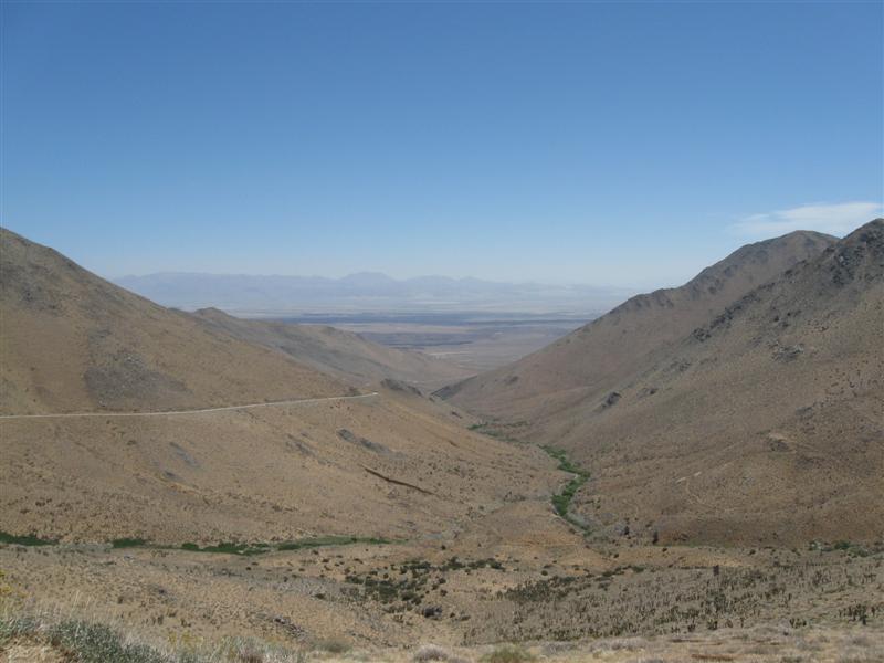
Alongside the road with 43 paved sites (in 2 sections) on sloping land among many tall pines. Many sites close together. Small creek, with stocked fish, flows through middle of CG. A few private cabins on one side of CG. If you want to hike up to the top of 14,494 ft Mt. Whitney, the trail is nearby. I was going to do it, but my shoelace broke. Oh, well. :) $19. Yesterday I took an interesting drive to Horseshoe Meadows (map here) at nearly 10,000 ft. It's about 26 miles from Lone Pine on Horseshoe Meadows Rd (paved all the way). The road is on the side of the mountain most of the way for fantastic views of the valley. A few pictures are to the left. |
|
9 |
5/28/12- |
Boondocking site (BLM). Not a developed campground. In
the Alabama Hills area a few miles W of Lone Pine, CA,
off Whitney Portal Rd. 4700 ft. |
|
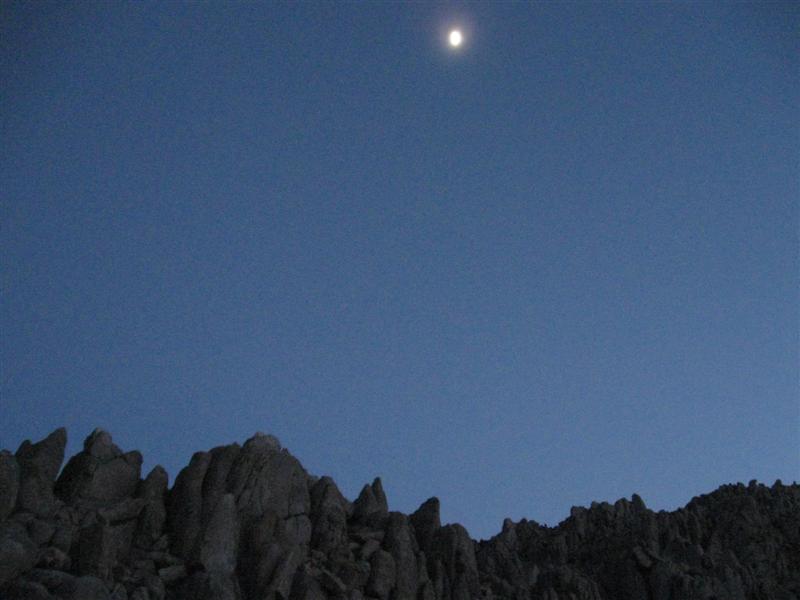
The site of many old western movies. I could be camped where Roy Rogers galloped by on Trigger. :) Very interesting rock formations close by and the majestic Sierras in the distance. Mt. Whitney visible from my site. Absolute quiet at night. Same exact spot I was in Memorial Day 2010 (thanks to my GPS)!. $0. |
|
8 |
5/26/12- |
Tuttle Creek CG (BLM). 5 mi SW of Lone Pine,
CA via Whitney Portal Rd & Horseshoe Meadow Rd.
5100 ft. |
|
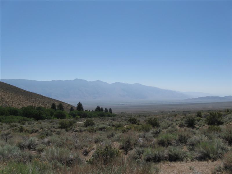
85 dirt sites, well apart, on sloping ground. New vault toilets. Beautiful view of the eastern Sierra mountains and the Owens Valley. Very small creek in CG, but stocked with trout. Just several miles away from the highest point in the lower 48 - Mt. Whitney, 14,494 ft.. Got here Saturday and there were a few open sites. I think the wind of the past few days cleared some people out early or they decided not to make the trip. $5. The inside of my camper was 44F this a.m. (5/26) when I got up. Must have been close to reaching freezing at night. Did snow at high elevations. |
|
7 |
5/23/12- |
Upper Gray's Meadow CG (USFS). 6 mi W of Independence,
CA on Onion Valley Rd. 6000 ft. |
|
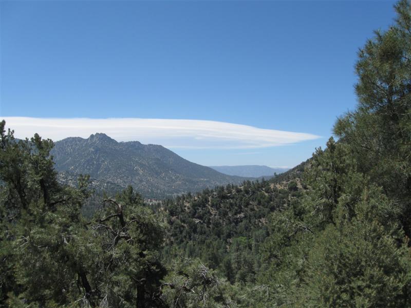
35 paved sites (most close together) on sloping land at the base of the Eastern Sierra Mountains. Small creek alongside CG making nice music. Sites near creek have trees for shade, but others very sunny. A wide variety of trees; oak, birch, pine, plus ???. Even some ferns around. New vault toilets. Got a very nice streamside site before the holiday weekend rush, but it's reserved for the wknd. $16. Decided to stay a 3rd night since the winds in the area are very strong and I'm in a nice protected site. |
|
6 |
5/22/12 |
Chimney Creek CG (USFS). On US395 N of Pearsonville,
CA, go 10+ mi W on paved (but steep & curvy) Nine Mile Canyon
Rd, then about 4 mi S on marked gravel road (w/slight
washboard surface). 5500 ft. |
Remote, primitive CG on uneven land with 32 dirt sites in different areas (I only saw 2, with 12 sites). Out in the boonies for peace and quiet. Plenty of small pine trees for shade. Old style pit toilets (bring your own TP). Rough dirt road within CG. Not a good CG for RVs much larger than my truck camper. $0 (w/donation box). On US395 at 2500 ft it was 98F. Only 80 at CG. Yea! |
|
|
5 |
5/21/12 |
Applewhite CG (USFS). San Bernadino, CA area:
About 7 mi NW on Sierra Ave from I15N (SW of I15N/I215
jct). 3300 ft. |
Nice CG in a canyon setting. 42 paved sites, well apart, on gently sloping land with a variety of needle and leaf trees. Moderate shade. Probably a million people within an hour drive of here. Priced like it's out in the boonies @ $10. |
|
|
4 |
5/8/12 - |
Doheny State Beach, Dana Point, CA. 40 ft.
|
My usual campground when visiting Orange County. 100+ sites. Very popular. Complete with the sounds of surf and passing trains. Some campsites right on the sand (if you want to pay $60). I'm the next row back to save $25 (6+ gal of gas). $35. |
|
|
3 |
5/6/12 |
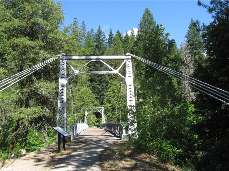
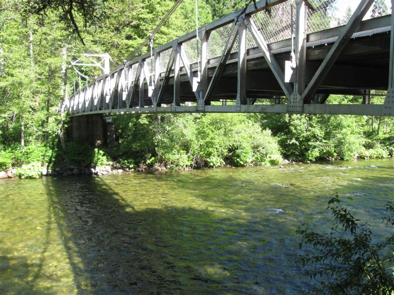
Wheeler Gorge CG (USFS). About 8 mi N of Ojai, CA
on curvy hwy 33. 1800 ft. |
70 paved sites. Most well shaded by large live oak trees. CG is alongside hwy, but minimal traffic. Small creek runs though CG. Was here in '06, also. $23. |
|
|
2 |
5/5/12 |
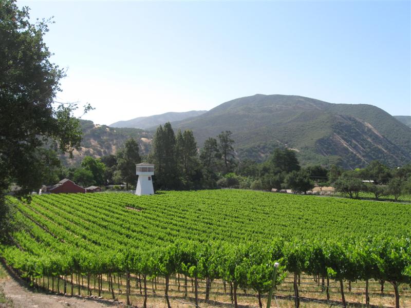
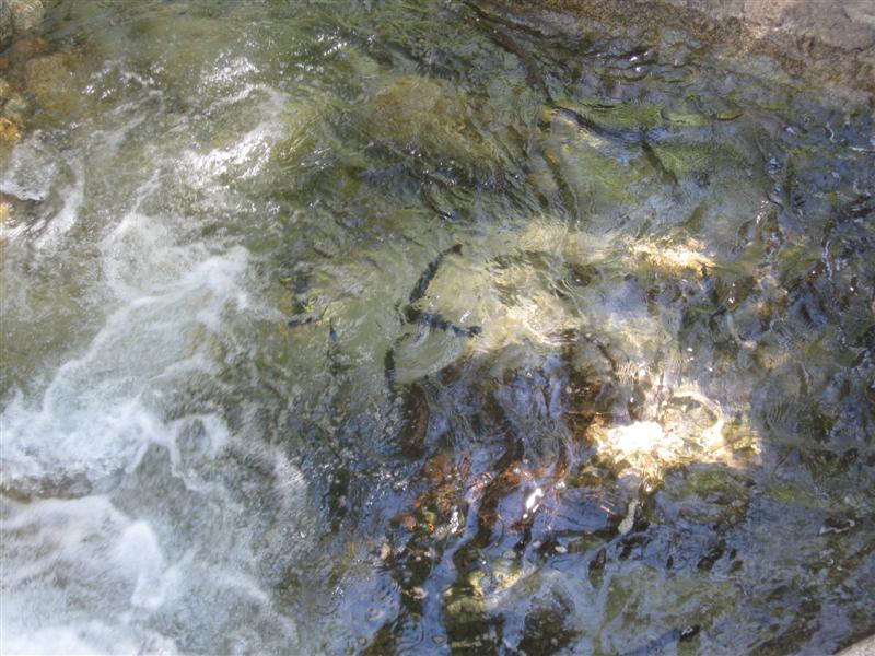
Reyes Creek CG (USFS). 39 mi N of Ojai, CA
on hwy 33, then 3.5 mi E on Lockwood Valley Rd, then
2 mi S on NF-7n11. 4000 ft. |
30 sites at the end of a small canyon with a creek (w/fish) running through it. A wide variety of trees. Some sites tents only. Others best for small RVs or cars. I got a very nice site that backed up to the stream for nice "creek music". Bar/grill within walking distance. $0 (Forest pass required). |
|
|
1 |
5/3/12- |
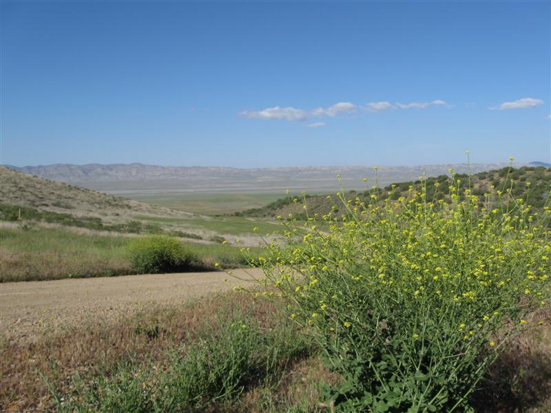
Selby CG (BLM) in Carrizo Plain National Monument.
43 mi E of Santa Margarita, CA on hwy 58, then
16 mi SE on Soda Lake Rd, then 4.5 mi S on marked dirt
road. 2500
ft. |
First CG on Road Trip 2012! 12 primitive sites in the foothills overlooking the valley. Each site has a picnic table with a shade structure (the only shade you'll get) and firepit. Vault toilet. Very secluded and peaceful. Only one other site occupied the first night, then the weekend crowd moved in Friday. $0 (w/donation box) |


|
[Home] [Camper Add-Ons] [Campsite Map] [Interviews] [Photo Albums] [Sporadic Blog] [Tips] [My Music] [Contact Me]
|